Distance: 11.6 miles round trip cross country
Summit Elevation: 4029'
Elevation Gain: 3500'
Elevation Gain (in Empire State Buildings): 2.8
Round trip time: 7 hours
Recommended water: 104 oz.
Parking/Fees: Free on Cherry Canyon Road
Difficulty: Moderate
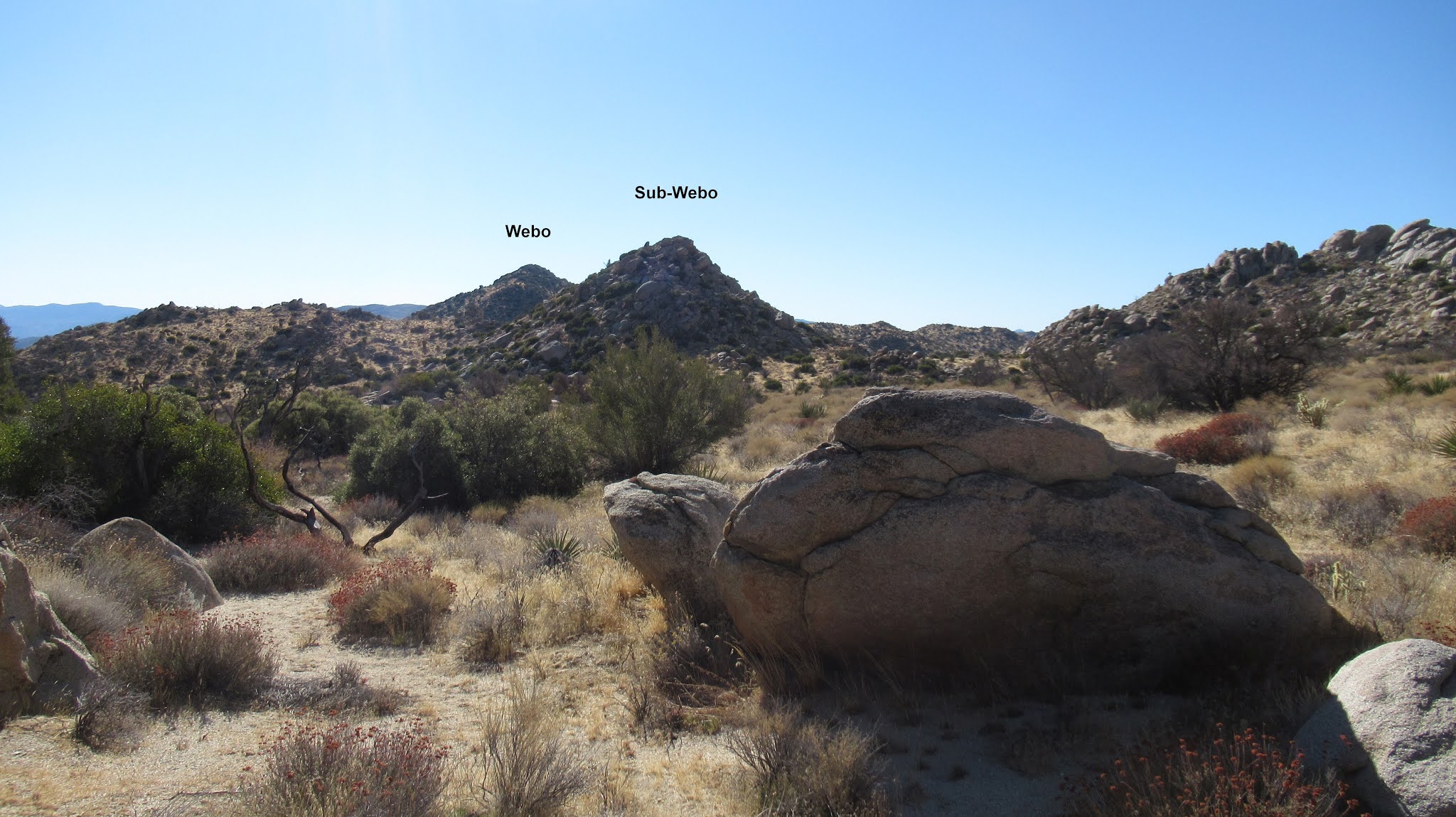
The plan was to deploy a couple of trailcams in Hellhole Flat where I found a large bone pile in 2015 coming down from San Ysidro East. I lost the GPS on that trip so I didn't have the exact location, but it was in a gully on the way down. I explored 4 gullies at the base of San Ysidro East with no luck. Maybe I was looking in the wrong places or maybe the desert just swallowed it. It was disappointing. When you're on the playground, you may as well play, so I decided to tackle one of the larger boulder piles. I picked the largest pile below Webo, dubbing it Sub-Webo. If this pile has been visited before, the number of people was likely in the single digits. I approached from the north, not by design, but because that's where I was. It looked like class 2 and that's how it turned out. The boulders got larger near the top, but finding a route was not difficult. The large summit boulder hangs over the edge on the south giving it an airy feeling. There were nice views, similar to Lookout Knob. I didn't count Sub-Webo as a real summit. Heading back, I paid more attention to my route, staying in the correct gully for energy efficiency. I spotted half a dozen mule deer on the way out, too fast to get photos. Finding a promising and secure location for a trailcam continues to be elusive.


No comments:
Post a Comment