Sunday, October 26, 2014

Tombstone Peak

Hiked: 10/26/2014
Distance: 1.9 miles round trip on use trail
Summit Elevation: 1719'
Prominence: Unknown
Elevation Gain: 900'
Elevation Gain (in Empire State Buildings): 0.72
Round trip time: 1 hour 15 minutes
Recommended water: 16 oz.
Parking/Fees: Free on Lake Wohlford Road
Difficulty: Easy

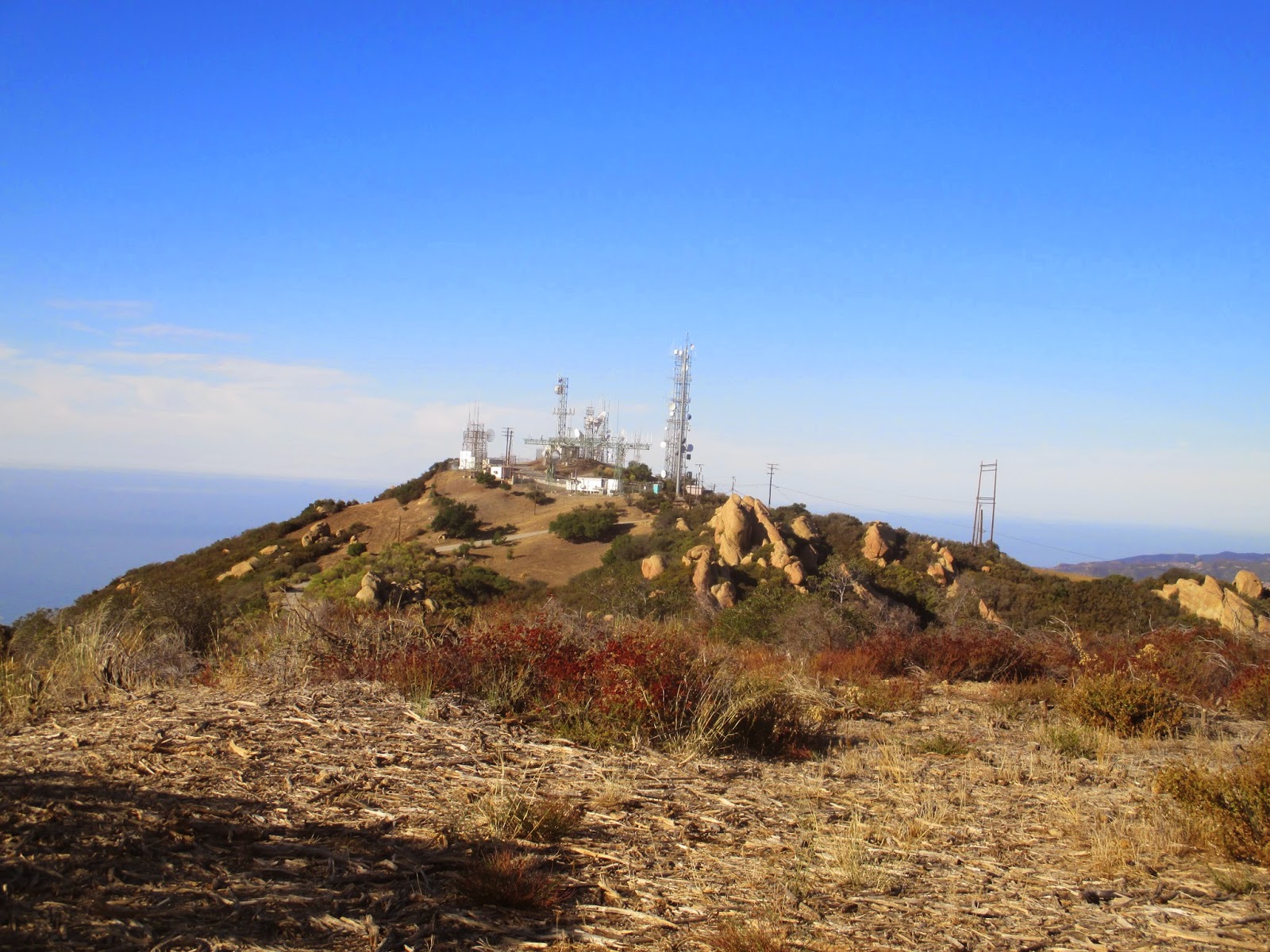
Tombstone is small peak just north of Escondido, CA, and one of three small peaks near Bottle Peak. I was on my way to Poway to pick up a phone I had lost the previous weekend, and wanted to climb something along the way. Like my trip to Bottle Peak, this was a quick side trip without time to grab the other nearby small peaks. Tombstone Peak only received a USGS name in 2010.

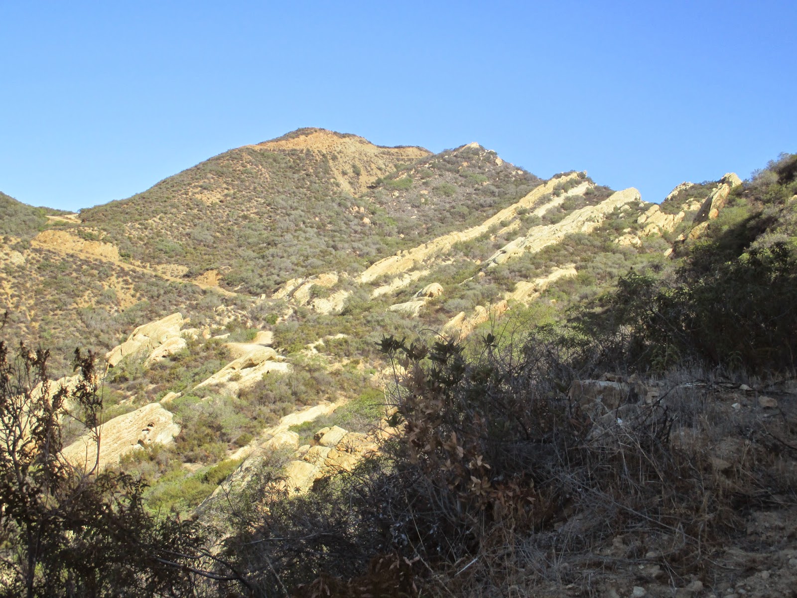
You can park in a small turnout on the northwest side (left) of Lake Wohlford Road, about half a mile up the road heading toward Lake Wohlford. The use trail starts a little further up on the other side through a hole in the fence, and cuts back in the opposite direction of the road. It is a steep climb most of the way, with parts of the trail looking like a drainage ditch, then it levels out a little toward the end. The use trail goes to within about 50' of the summit block, and some light bushwhacking will get you the rest of the way. The easiest way to climb the 25' summit block is a class 3 route from the southwest side. I started up an easy crack at the bottom, then a flake on the right helped me get to the top of the second crack, and it was an easy scramble from there. The top only has room for one person at a time which worked out fine since I was solo today. There are good views of Dixon Lake, Lake Wohlford, Bottle Peak, and Escondido. When I got to the top, I realized I had left my camera at the bottom with my pack, so I climbed down and up a second time to get some photos from the summit. Unlike the other nearby peaks, the Tombstone summit was free of graffiti. It was a short, but fun packed hike!


Start of the use trail, turnout on the right


Use trail or drainage ditch?


The southwest face of the summit block


On my way up


Looking down the ascent route from the summit, you can see my pack on the rock at the base


Escondido


A fallen cross at the bottom of the south side of the summit


The fallen cross


Dixon Lake on the way down


Friday, October 17, 2014

Dobbs Peak, East Dobbs, and Peak 9782

Hiked: 10/17/2014
Distance: 11.7 miles round trip on trail and cross country
Summit Elevation: 10459' (Dobbs), 10520' (East Dobbs), 9782' (Peak 9782)
Prominence: 59' (Dobbs), 40' (East Dobbs), 100' (Peak 9782)
Elevation Gain: 4780'
Elevation Gain (in Empire State Buildings): 3.82
Round trip time: 8 hours
Recommended water: 184 oz.
Parking/Fees: Adventure Pass
Difficulty: Strenuous

The west ridge approach to Dobbs Peak is a substantial cross country trek starting at the Vivian Creek trailhead. We planned a loop over Dobbs, East Dobbs, and Peak 9782. Sean and I met up shortly after the gate opened and started up the Vivian Creek trail. Memories of our recent trip to Galena returned as we crossed Mill Creek. After climbing a steep section of the Vivian Creek Trail up to the first camp, we left the trail, crossed the creek and began heading toward the west ridge. Pretty soon, we found a faint use trail and followed it. The beginning of the ridge is moderate, with better views opening up as you ascend. We stopped for a brief break around 8300', just below the steepest section. It was shady and quite cold in the morning hours, but there was no wind to make the cold miserable. The last mile gained around 2000' and was a hard slog as the air got thinner. The very wide, rounded summit of Dobbs did not sport a challenging summit block, merely a pile of rocks slighter higher than other nearby piles. The best views were had on the ascent, since the summit area was surrounded by trees. We signed the summit register dutifully and took another food break.


Off trail, heading for the west ridge


Dobbs in the distance


Sean by a dead giant


Sean surfing a rock structure on the ridge


Steep upper ridge


Dobbs summit


Jepson Peak from Dobbs


On the Dobbs summit

Next we were off for East Dobbs (also called Little Dobbs) which is slightly higher than Dobbs itself. Most of the gain for the day was behind us and the trip to East Dobbs was easy. It has a unique register with a tattered red binding. The first entry went back to 1977, but all the entries still fit into this one book. Views were a little better from East Dobbs, but it was still surrounded by the other taller peaks to the north. Lastly, we started descending toward High Creek Camp and Peak 9782. Following the ridge line down to the saddle required more scrambling than we had to do on the way up. Sean was the master route finder, getting us around patches of manzanita and steep drops on both sides. Soon, we were at the saddle and dropped our packs before climbing the hundred feet of gain up to 9782. There were interesting trees on 9782, but we found no benchmark or register. We were hoping for a good view of the Mill Creek Jumpoff but were disappointed when it remained blocked by an intervening ridge.


Dobbs from the East Dobbs summit


Raggety register on East Dobbs, from 1977


Peak 9782 front left, Yucaipa ridge and Galena Peak in the distance


Poltergeist tree on Peak 9782

Returning to the saddle, we picked up our packs and started the steep descent to High Creek Camp. We stopped at the creek to refill a couple of water bottles, then made good time down the Vivian Creek Trail. Just below Halfway Camp, Sean spotted a large buck just off the trail. He was as curious about us as we were about him. After a couple minutes of staring each other down, he moved off at a leisurely pace. We made it back to the cars in just under 8 hours. It was a pretty tough, satisfying, hike and another great day in the mountains.


Descending a drainage toward High Creek Camp


Almost back to Vivian Creek Trail


Curious buck


Fall color and red riding hood


Wednesday, October 8, 2014

Calabasas Peak

Hiked: 10/8/2014
Distance: 4 miles round trip on dirt road and use trail
Summit Elevation: 2163'
Prominence: 623'
Elevation Gain: 1000'
Elevation Gain (in Empire State Buildings): 0.80
Round trip time: 1 hour 45 minutes
Recommended water: 48 oz.
Parking/Fees: Free at turn out on Stunt Road
Difficulty: Easy

Calabasas Peak rises somewhat prominently above several long. jutting plates of rock in the eastern Santa Monica Mountains. The Calabasas Peak dirt road winds up from Stunt Road. It is a mostly gentle grade and takes you through the angled plates and other interesting geologic features. The plates look like good climbing fun and probably not too hard. They are sandstone conglomerates with plenty of texture. After the road crests the ridge, a clear use trail appears on the left to take you to the top. The summit area is small, with a collapsed rock cairn, an ammo box holding the register, and an LA Department of Public Works benchmark stamped "Dry Canyon". I met a couple of hikers on the way up and down, and based on the volume of signatures in the register, this is a very popular peak. After signing the register and eating my last snack, I continued past the peak to what looked like an old Nike anti-aircraft missile platform. It had one silo that was supposed to be sealed, but had been ripped open. A metal ladder led down into murky green water only a couple of feet or so from the top. From the platform, I spotted another use trail heading up the other side of Calabasas. Counting a different trail leading down, there must be at least three ways to get up to Calabasas Peak. My lower peak triple play added up to 12 miles and 3170' of gain. A nice, but not overwhelming day.


The start


Long angled plates pushed up from the earth


Plates up close, good climbing gym


Use trail to the summit


Summit and ammo box holding the register


Benchmark


Looking south from Calabasas Peak


Old Nike missile platform?


Saddle Peak East and West

Hiked: 10/8/2014
Distance: 2.3 miles round trip on trail
Summit Elevation: 2825'
Prominence: 1735'
Elevation Gain: 630' (combined)
Elevation Gain (in Empire State Buildings): 0.50
Round trip time: 50 minutes
Recommended water: 16 oz.
Parking/Fees: Free on Stunt Road
Difficulty: Easy

I think this is the shortest hike to an official Sierra Club peak I've done, not counting drive ups. It took 22 minutes to summit Saddle Peak East. The broad flat top did not have a distinctive high point. I found a buried cement block and a pole sticking up and either could have been the high point. I found no register or benchmark, either. Even though it is fenced in, and not on the lower peaks list, I wandered over to Saddle Peak West to see what was there. There are some cool boulders along the way and just below it. I followed the fence looking for any sign of the official high point. It appears to be behind the fence on private property. I got as close as I could legally get before turning around and heading back. Next up was Calabasas Peak.


Start of the trail from Stunt Road


Saddle Peak East above the water tank


Tower infested Saddle Peak West from East


Boulders on the way to Saddle Peak West


As close as I could get to the high point behind the fence and razor wire


McAuley Peak

Hiked: 10/8/2014
Distance: 5.7 miles round trip on trail and use trail
Summit Elevation: 2049'
Elevation Gain: 1540'
Elevation Gain (in Empire State Buildings): 1.23
Round trip time: 2 hours 15 minutes
Recommended water: 54 oz.
Parking/Fees: $10 State Parks on Malibu Canyon Road
Difficulty: Easy

McAuley Peak was the start of a Lower Peak triple play to finish off the Santa Monica Mountains. I drove north from PCH on Malibu Canyon Road to the the trailhead and paid the expensive $10 State Park self-serve permit fee. There is a portable restroom at the trailhead. I arrived about an hour before sunrise and the coyotes serenading me in the dark made the first part of the hike more exciting. When I left home, the blood moon was just waning and as I started up the trail, the moon had returned to a bright white.

As I got near the top of the ridge, the sun met me, and I could see the huge sandstone summit block. The use trail was short and I found the register under the summit overhang and leafed through it before signing it, not recognizing recent visitors. The summit block is class 3, but climbing it required only one smear move. The rest of the way offered excellent holds and reasonable angles. I took some pictures from the top, then headed down. When I was near the bottom, I met a fine looking buck on the trail. He ducked into the brush and I only got a shot of his rear. Back at the car, I reloaded my pack and took Piuma Road toward Saddle Peak East.

Due to a mistake moving photos from photobucket to Google, I lost most of my McAuley photos. The ones left are from my B-roll, mostly taken from the summit or on the way down.