Saturday, June 24, 2023

Dobbs Cabin Camp

Hiked: 6/17/2023
Distance: 12.8 miles round trip on trail
Summit Elevation: 7300'
Elevation Gain: 3567'
Elevation Gain (in Empire State Buildings): 3.0
Round trip time: 6 hours 45 minutes
Recommended water: 100 oz.
Parking/Fees: Free at Momyer Trailhead
Difficulty: Moderate

Leisa and I headed to the San Bernardino Mountains for a training hike. Dobbs Cabin Camp is at the end of a spur on the Momyer Trail. This was my first time on the Momyer Trail. I remembered reading about it years ago and how overgrown the upper section was. The parts we traveled were in great shape and well maintained. From the parking lot, we dropped into Mill Creek and looked for a way across. The creek was wide, 20'-30' across, up to 3' deep in places and flowing strongly. We tried a log crossing, but it was about 5' short. We searched up and down the creek, eventually crossing a road well above the trail that had only a couple inches of water flowing over it. Then, we hiked back to the start. We decided we would wade across on the way back.

Momyer started relatively flat, then gained 1700' in 1.5 miles. Quite steep, but the trail was firm and we made steady progress. Once we made it to around 7200', the trail flattened out as it side hilled across the mountains. There were a few parties on the trail, mostly backpackers, some going out, and some coming back. Leisa met a small rattlesnake near the San Gorgonio Wilderness sign. It slid into the brush before I could get a photo. We had another short creek crossing at Alger Creek. Since we spent so much time crossing Mill Creek, we decided to stop for a break about a mile short of Dobbs Cabin. As we were getting ready to go, Leisa gasped and pointed behind me. I stood up in time to see a large cinnamon colored bear (all CA bears are black bears) running past a log over a small bump. I walked over to the bump to see I could see him but she appeared to be gone. Leisa said the bear looked startled when she saw her and immediately took off. We continued up the trail a few hundred feet until a meadow opened up. We glanced down hill and saw the bear standing on her hind legs behind some brush, trying to figure out what we were. She never seemed threatening, just curious. A few seconds later, she bounded ahead of us, crossed the trail and effortlessly cruised up a 40 degree slope. That was our last encounter with the bear, but the highlight of the day.


Incomplete log crossing

Mill Creek and Galena Peak at the end of Yucaipa Ridge

Alger Creek


Curious bear


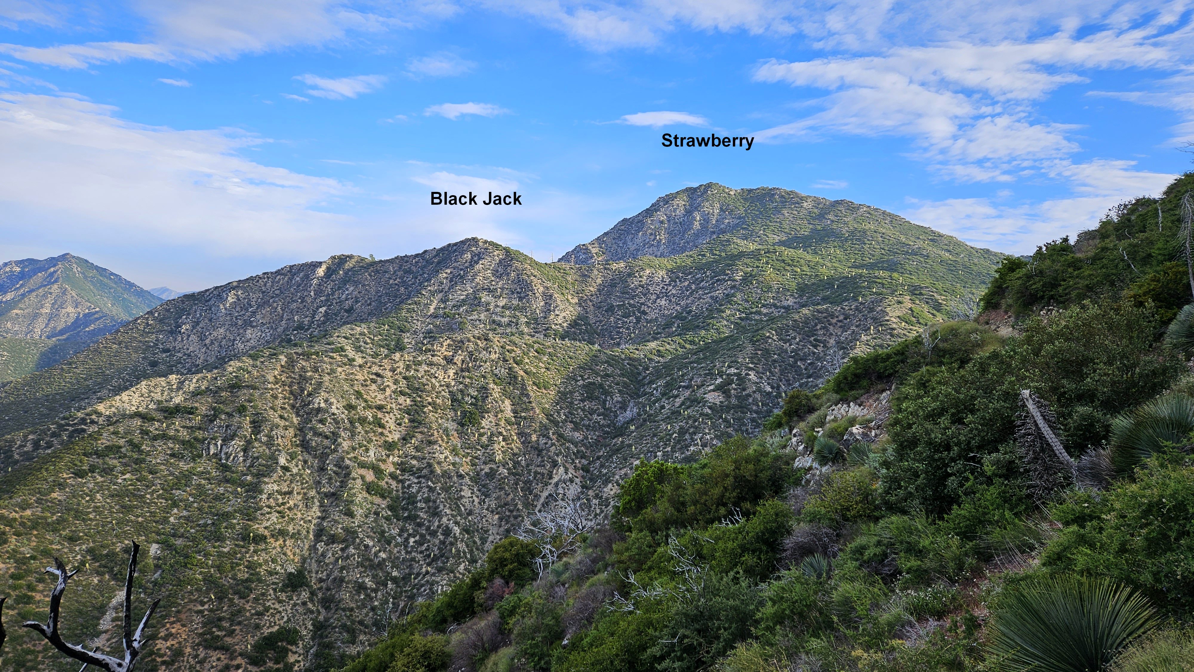
We descended about 200' to reach Dobbs Cabin Camp and found no traces of the cabin. We later learned it was no longer standing. The camp was at the confluence of two creeks and there was plenty of water. Dobbs Mountain looked massive from this angle. We took a final break before heading back. We met a baby kingsnake and a gopher snake on the return trip. Back at Mill Creek, we were prepared to wade across when I noticed someone had completed the log crossing we tried in the morning. Another log had been wedged in and some big rocks were added to keep it stable. So we took the log crossing to finish up. A fine workout and fun encounters with wildlife. That's the life.

Dobbs Mountain in the background


Monday, June 19, 2023

East Ord Mountain

Hiked: 6/16/2023
Distance: 3.1 miles round trip cross country
Summit Elevation: 6168'
Prominence: 1488'
Elevation Gain: 2059'
Elevation Gain (in Empire State Buildings): 1.7
Round trip time: 3 hours 40 minutes
Recommended water: 60 oz.
Parking/Fees: Free on dirt road OM6659
Difficulty: Moderate

East Ord is a DPS peak (#54) southeast of Barstow. With 4x4, you can drive close to the base of the mountain near a guzzler. The final road spur is OM6659 and required high clearance. I turned on 4x4 in part for additional traction and also to keep the off road system well oiled. There were large boulders on the side of the road and I stopped before the guzzler where I found a good place to turn around. The guzzler was no longer operational, now just a collapsed pile of rusted metal. I decided to attempt a loop of the most popular routes, going up the ridge and down the major gully. The start of the ridge was steep and I plodded up, taking my time. The ridge had three cliff bands, but they were porous with multiple ways through. Some parts were class 2 with solid rock. I could have side hilled around two of the middle bands and avoided a drop to reach the saddle below the next section. It wasn't much, 50', but each drop registered a blip on the profile. The summit came into view as a giant dome. I emerged from the final rock band to arrive abruptly on the summit. My arrival startled a herd of bighorn sheep on a far ridge. Eight or more were in the herd. I tried to get photos but the digital zoom on my phone did not serve well. Views were 360 degrees of wonderful. Ord Mountain and it's towers were visible to the northwest. Gain was over 2000' in about a mile and a half. There was no benchmark, but an ammo box held a register that went back to 1999. As an official DPS peak, East Ord is popular, so I was surprised the register was not more recent.

Fox on the drive in

Approaching East Ord


Summit in view


Herd of bighorns


I stayed on the summit about 15 minutes before finding my way off the dome to the top of the gully. It started off very steep, then gradually got easier. I able to follow a use trail down most of the way, occasionally losing and finding it again. While not as steep as the ridge, there were class 2 bits in the gully. I admired the black cliffs below the summit that lined the gully route. About half way down, I got a warning from an adult rattlesnake. Looked like another speckled rattlesnake. The snake gave me a few seconds of rattle, then stopped when I wasn't moving. I watched the fine speciman a few minutes before working around it and continuing my descent. Near the bottom of the gully, I tried a shortcut to get back to the road. It wasn't ideal and I ended up sliding down a dirt slope to reach a ramp that took me back to the road. It was hard on my pants. East Ord was relatively easy by DPS standards, but a solid desert peak and solid hike.


Rattlesnake gave me fair warning


Bottom of the gully


Sunday, June 18, 2023

Ord Mountain

Hiked: 6/16/2023
Distance: 6.7 miles round trip on dirt road
Summit Elevation: 6309'
Prominence: 3249'
Elevation Gain: 2200'
Elevation Gain (in Empire State Buildings): 1.8
Round trip time: 3 hours 20 minutes
Recommended water: 72 oz.
Parking/Fees: Free on Pipeline Road (OM6640)
Difficulty: Moderate

Ord Mountain is a P3K desert peak southeast of Barstow, CA. By leaving in the wee hours of the morning, I was able to get there from south Orange County in two and a half hours. High clearance suggested for portions of dirt Pipeline Road. There was a lot of construction on Pipeline road, though there was no activity on the day I was there. Crews were installing a huge (30"+) gas pipeline along the side of the road. I can't imagine where that gas is going, maybe the Marine base at Twenty Nine Palms. I parked at the junction of Pipeline Road and Ord Mountain Road. The dirt road goes all the way to the top. The weather was cool for mid-June, allowing the luxury of hitting two desert peaks before summer (East Ord was also on the menu).

The terrain around Ord was grassland. Low, brown grass, that looks like it can just survive the harsh climate. Black chunks of rock jutted from the ground, appearing volcanic from a distance. The road wends around the outcrops with moderately steep sections. About a mile up the road, I walked around a locked gate. There were no fences or signs, it was meant to keep vehicles out. There was nothing notable along the road and I didn't see the summit until I was within a half mile. A clean helipad sits just below the top. Communication towers and large solar panels cover most of the summit. There were two trailers by the solar panels and the hum of fans made me think they were air conditioned. Not sure. There were no vehicles around so no people. I located the benchmark south of the solar panels. The high point was about 30' away on a pile of boulders, but there was no register. I enjoyed the mile high views and got a good look at East Ord. It wasn't exciting, but I came for the prominence. The trip back was uneventful.

Cattle roam free in the area

Start. Summit not visible.


First view of the summit

Helipad


Looking over at East Ord


Sunday, June 11, 2023

Black Jack Peak and Strawberry Peak

Hiked: 6/10/2023
Distance: 8.8 miles round trip on trail and cross country
Summit Elevation: 5521' (Black Jack), 6159' (Strawberry)
Elevation Gain: 2874'
Elevation Gain (in Empire State Buildings): 2.4
Round trip time: 7 hours 15 minutes
Recommended water: 96 oz.
Parking/Fees: Adventure Pass at Red Box
Difficulty: Moderate

Sean "Cucamonga Man" Green discovered a reference to Black Jack Peak and planned an expedition to search for it. According to historian Hiram Reid, Owen and Jason Brown climbed Black Jack Peak in 1887. They gave it this name after the from which the rugged pinnacle is composed. Seven of us showed up for the hunt, including Madison "Uncle Rico" Christian, Nate U. and Jeff H. I knew from the San Gabriel Forum. Guy and Scoops were fellow trail workers with Sean.
The target was Peak 5521, our best guess at Black Jack. It took about an hour to reach the elevation on Strawberry where we started looking for a place to leave the trail. Buckthorn, brush, and yucca were pretty thick everywhere. We decided to head for a narrow clearing on the adjacent ridge, dropping steeply into a choked drainage. Before we made it to clearing, we had to deploy the cutting tools. Between us, we had a lopper, two machetes, and two pruning tools. Sean took the first shift with the loppers, but we traded off as we got further away from the trail. After going over the first ridge, we followed another drainage for a while, then up and over a second ridge where we got our first glimpse of Peak 5521. It was less than half a mile away but a solid wall of forest stood between us and the peak. We contoured further up the ridge until we hit the main ridge line coming down from Strawberry. The brush was thin at this point and we cruised to the base of 5521. We had to deal with one more nasty patch of buckthorn before finding our way to the summit. The summit itself was long, flat and narrow. There was some black rock in the cliffs that made up the south side of the summit and more jagged, black rock on the lower south ridge. Whether that was conclusive evidence was open, but we declared 5521 Black Jack based on what evidence there was.
View from Red Box


First look at Black Jack over a buckthorn wall

Sean broke out some playing cards and we played Black Jack on Black Jack during our break. We spent around 30 minutes on the summit (breaks included in the round trip time). We had great views of Lawlor, the south face of Strawberry, and the front range. Sean left a register in a glass jar under a bush at the summit. As we started back, an LA Sheriff rescue helicopter appeared by Lawlor and followed the trail to the saddle, then it went up to the top of Lawlor. We didn't know if it was an exercise or a real rescue. We made great time on the way back to the trail, following footsteps, cuttings, and cairns Sean had erected.


Looking over at Josephine


Scrambling back to the trail

Rescue helicopter below Lawlor


After we climbed back to the trail, the group was heading back for ice cream. I wanted to tag Strawberry since I had not done it from the eastern side. No one else was interested so I bid everyone farewall. It was great meeting people from the forum and the trail workers. It took me about an hour to get up and down Strawberry. I stayed about 30 seconds on the summit to avoid getting stuck behind a party of about 25 or more hikers who were just starting down. I don't normally like group hikes, but this group had no weak links. It was a chill hike from start the finish. I discovered two thorns lodged in my skin when I got back, one in each hand, but my legs were spared. As good an outcome as could be expected.

On the trail to Strawberry


Final look back


Other Reports:
Sean Green's report