Thursday, January 24, 2019

Bolero Lookout and Dreaded Hill

Hiked: 1/24/2019
Distance: 8.7 miles round trip on trail and cross country
Summit Elevation: 1760' (Bolero), 1624' (Dreaded)
Prominence: 360' (Bolero), 206' (Dreaded)
Elevation Gain: 1618'
Elevation Gain (in Empire State Buildings): 1.3
Round trip time: 3 hours 35 minutes
Recommended water: 48 oz.
Parking/Fees: $3 OC Parks at Portola Parkway
Difficulty: Moderate

Bolero Lookout is a small peak with a radio tower east of Santiago Canyon Road. Long ago, it had a fire lookout tower. The main dirt road to it crosses private land and I was unsure of the best way to reach it. Mike Sullivan posted a GPS track on peakbagger that accessed it from Whiting Ranch Wilderness Park, so I decided to give it a try. I used his track but started from a different trailhead at Portola Parkway. There is a $3 parking fee at Portola because of restrooms and other amenities. The trailhead Mikey used on Santiago Canyon Road does not require a parking fee.

I followed the Borrego Trail into the park. It was sandy and muddy in places, and mostly flat to the 3-way trail junction of Borrego, Red Rock Canyon, and Mustard Road. I took the Red Rock trail looking for the side canyon that would get me to Bolero Road. Ironically, the entrance was behind a "Stay on Trail" sign. A faint use trail leads into the canyon, but quickly disappears as it narrows into a sandy slot. There was a little bushwhacking going up the slot. I didn't stay in the slot canyon very long because it was muddy. As soon as I saw a way up to the ridge, I took it. The ridge wasn't long, and I drifted back into the gully just below the road. Mikey's track followed the road around Bolero and came up behind it. I did the same on the way up, but spotted a trailcam at the road junction just below the summit. It probably got a fine photo of me dropping F-bombs. I increased my pace to the top, took a few photos, a waypoint, then started directly down the slope on the other side back toward the road. Someone could easily ascend the way I came down (not that I am encouraging anyone). In short order, I was back on the ridge in Whiting Ranch dropping into the slot and following the trail back to the 3-way junction. I estimate a round trip to Bolero alone at about 6 miles and 1000' of gain. At the 3-way trail junction, I sat down at a picnic table for some fuel. With Bolero done, I decided to extend the hike to make a trainer out of it. I went up Mustard Road to Watertower Road to Dreaded Hill. On the way back, I took the Billy Goat trail that dumps into the lower end of Mustard Road, then back on the Borrego Trail to the truck. It wasn't a big day, but I did work up a lather.


Leaving the trail


Heading toward Bolero


Summit


Dropping back into Red Rock Canyon


Local residents


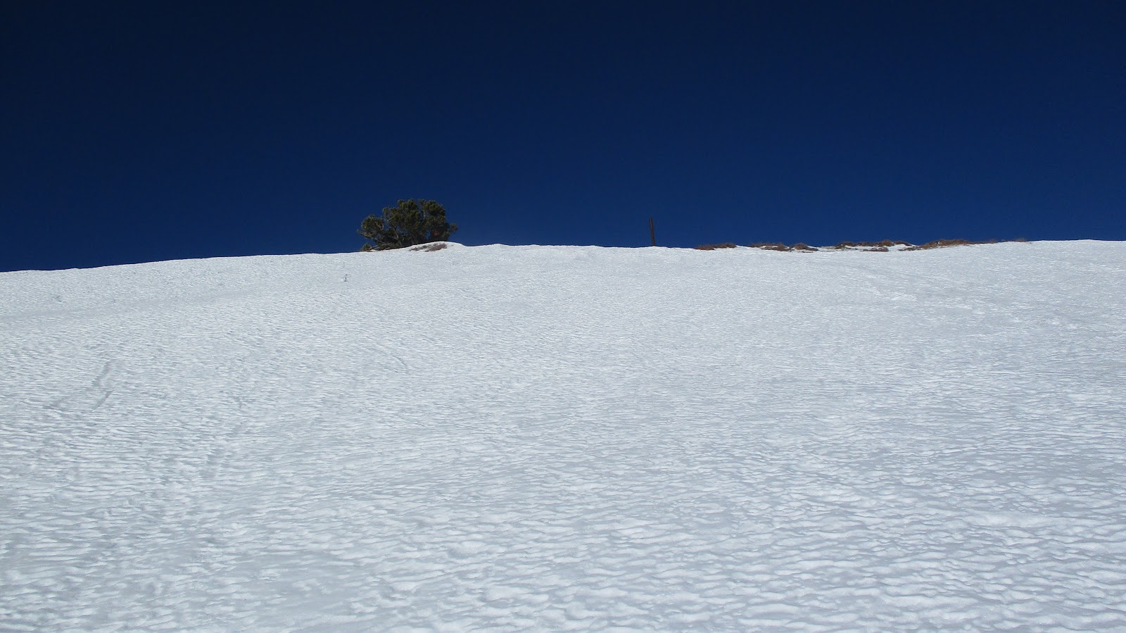
Almost to Dreaded Hill


Bolero Lookout from the Billy Goat trail


Saturday, January 19, 2019

Storm Canyon Mountain Triple

Hiked: 1/18/2019
Distance: 9.5 miles round trip cross country
Summit Elevation: 3902' (Storm Canyon), 2086' (Troutman), 3247' (Square Rock)
Prominence: 982' (Storm Canyon), 346' (Troutman), 400' est. (Square Rock)
Elevation Gain: 3087'
Elevation Gain (in Empire State Buildings): 2.47
Round trip time: 6 hours 40 minutes
Recommended water: 102 oz.
Parking/Fees: Free at turnout on S2
Difficulty: Strenuous (combined, route finding)

My first trip to San Diego County since completing the Sierra Club Peaks List was for Storm Canyon Mountain. It is a prominent and seldom visited peak at the mouth of Storm Canyon south of Vallecito Valley and north of the Sawtooth Mountains. On the way is the small Troutman Mountain. [FYI, Google Earth incorrectly labels Storm Canyon as Troutman.] If I had time, I'd explore two bonus peaks that sat below it, "Square Rock Peak" and "Sundown Peak". I drove south on S2 and parked in a turnout on the left that connected to a dirt airstrip. Troutman was about half a mile due south.

I crossed the road toward Troutman. Before reaching it, I had to pass through two barbed wire fences. I guessed there was a small inholding near the road before reaching Anza-Borrego State Park land. Note, you can bypass the two fences by following my return route just east of the parking area and ascending the south side. After four days of rain, the soil was soft. I went straight up the gully on the north side of Troutman, then turned right (southeast) to the summit. There were no marks and I didn't find a register, but there was a rusted chain on one of the boulders and I found some wire that probably held up a wooden post at some point. I had good views into The Portrero and Storm Canyon Mountain a couple of miles away. It was a steep descent down the south side of the mountain, then I headed over easy, open country toward the rocky northwest ridge of Storm Canyon.


On a dark desert highway, cool wind in my hair.
Granite Mountain on the right.
I never get tired of desert sunrises, they still move me.


From the turnout


Approaching Troutman


Storm Canyon Mountain from the Troutman summit


Another half mile and I ran into a third barbed wire fence. I started to wonder about property lines but was already committed to Storm Canyon. I stopped at the bottom of the gully for some energy, then began the steep trudge to gain the ridge. There were many deer and sheep trails around the gully, some of them going my direction. The ridge itself was mostly around 30 degrees with patches of brush and occasional light class 2. The hardest move was getting up a large off-width crack near the top. It was annoying going directly into the sun as it crested the summit. It was hard to see the path ahead even with sunglasses. On the summit, I found an unmarked metal pole and the register in a glass jar inside a red can. It was placed in 2006, but had only a small number of signatories. I like obscure peaks like this. There were extraordinary views toward Monument Peak and Garnet Peak, and the entire valley. The bonus peaks below looked challenging. As far as I can tell, only John Strauch, Eric Su, and Bob Burd have climbed them, but there might be others. After resting a bit, I decided to tackle Square Rock Peak, the farthest from my return path. I took some time to study the contours and make a plan of attack before descending to the major saddle below.


Gully


Monument Peak


Summit ahead, but blinded by the sun


Large crack


Looking down the ascent ridge


Sundown on the left, Square Rock on the right


My plan of attack on Square Rock

The descent from Storm Canyon was very steep, but the soft earth made it rather easy. It was almost like plunge stepping in snow. Once at the saddle, I climbed up to a plateau on the way to Square Rock. The gigantic outcrop of boulders above the plateau may have inspired the name. I passed a natural cave under stacked boulders and a wet pile of lion scat. I told myself it was wet because of the rain and not because it was fresh. Route finding was somewhat tricky. I pulled off a 20 pound chunk of rotten sandstone on my way to the top of the false summit, but the ascent never exceeded class 2. From the false summit, it was an easy walk to the summit of Square Rock where another pole marker had been set. There was no register or benchmark. On the way back, I thought about dropping directly into the saddle below Sundown Peak, but decided to backtrack on my proven route. When I got down, I found another pole marker on the main saddle between Storm Canyon and Square Rock. I had chewed up more time than expected on Square Rock and my provisions were low, so I decided to skip Sundown. It certainly wasn't going to be a quick diversion. I descended back to the open country and aimed for the east side of Troutman to bypass it on the way back. I hadn't expected to see anyone the whole day and didn't. It was a fun trip and desert triple play.


A square rock at the top of the outcrop on the left


Marker at the saddle below Square Rock


Other Reports:
Blair Traverse (Peaks for Freaks)

Saturday, January 5, 2019

Mount San Antonio Winter Ascent

HPS Star Emblem Peak
Hiked: 1/4/2019
Distance: 8.8 miles round trip on trail
Summit Elevation: 10064' (3067m)
Prominence: 6224'
Elevation Gain: 4093'
Elevation Gain (in Empire State Buildings): 3.27
Round trip time: 8 hours
Recommended water: 96 oz.
Parking/Fees: Adventure Pass
Difficulty: Strenuous

Rod and I drove up to Manker Flats to attempt a winter ascent of Mount San Antonio (Baldy). My last attempt in 2015 ended at the Ski Hut with calf cramps and freezing hands. I made several adjustments to my gear, adding mitts and two vacuum bottles with soup and hot chocolate. I also found a small plastic tool that let me operate my tiny point and shoot camera with gloves on. With 20-25 mph winds at the summit, wind chills were expected to hover around 20F. It was 41F at the trail head. We started up at 9:00 AM with several other groups. [Note: all high rez photos are Rod's]

The Ski Hut trail was a grind from the start and we both had to stop after a short distance to peel off a layer. Managing your body temp in freezing weather is a delicate balancing act. You don't want to get too hot or sweat too much because your sweat will freeze as soon as you stop moving. The trail was dry all the way to the ski hut, but snow was abundant at upper elevations. The ski hut was open, and the host (Dan) let us look around inside. This was the first time I'd been inside the hut. I was surprised how large and well appointed it was. There were twenty or so bunks in an upstairs room I didn't know existed and more in a basement area. It can probably accommodate more than thirty people at a time (all sharing one outhouse). We stayed inside the hut to eat and make adjustments to our gear. We filled up on clean water as well. As we traversed across the bowl, we reached the first section of snow and ice on the trail and stopped to put on traction. Rod had full crampons, while I rocked microspikes. About half of Baldy Bowl was dry, but snow was solid on the south slope trail.


Telegraph Peak


Ontario Peak


Upstairs bunks in the ski hut


The two steepest sections of the trail are above the ski hut. The snow had a thin crust of ice on it. We moved slowly up the first steep section to a flat area above the bowl. The more direct sun exposure had melted most of the snow and it was muddy and slushy. The poor conditions continued up the second steep section, and we took several short breaks to add/remove layers as the wind dictated. It's a royal pain to dig things out of winter pack with bulky gloves. Cold is my kryptonite and I've learned not to expose my bare hands on a freezing mountain. Once my hands freeze, they almost never recover. Full snow coverage returned for the final half mile to the summit and the wind started whipping. We were completely exposed to the wind on the final section (it was Baldy after all). Our goal was to get to the summit, take a few quick photos, then start back down. A couple of groups ahead of us had the same idea and they were headed down as we reached the top. Nobody stayed on the summit for long and we had it to ourselves. On the summit, my hands and toes started to numb. After our photos and an obligatory fist bump, we set a quick pace down. Once out of the wind, the descent was very pleasant. We took a short side trip to look down the Bowl from one of the craggy spots. All nearby routes looked intense. As we got down near the Ski Hut, one of Rod's crampons came off, but since it wasn't needed much longer, he alternated sliding and stepping until we got there. We went back into the hut to give Dan a report on conditions, then finished our descent. Winter mountaineering is not my jam, but snow has a special beauty I appreciate. I wish there had been some rime ice left in the trees.


Poor conditions above the bowl


Approaching the summit


West Baldy


End of the day in San Antonio Canyon