Sunday, March 29, 2015

San Juan Loop

Hiked: 3/29/2015
Distance: 2.3 miles round trip on trail
Summit Elevation: 2004' (high point on trail)
Elevation Gain: 360'
Elevation Gain (in Empire State Buildings): 0.28
Round trip time: 1 hour
Recommended water: 16 oz.
Parking/Fees: Adventure Pass
Difficulty: Easy

Parker and I headed out for this short and popular loop hike just off Ortega Highway (hwy 74) in the Santa Anas. The large parking lot across from the Ortega Candy Store is the starting and ending point for the loop. Restrooms are available and an Adventure Pass is required if you are planning to use the facilities. The Adventure Pass requirement was ruled illegal unless you use the provided amenities. I always play it safe and display it in national forest areas, though there were many cars parked there without one.

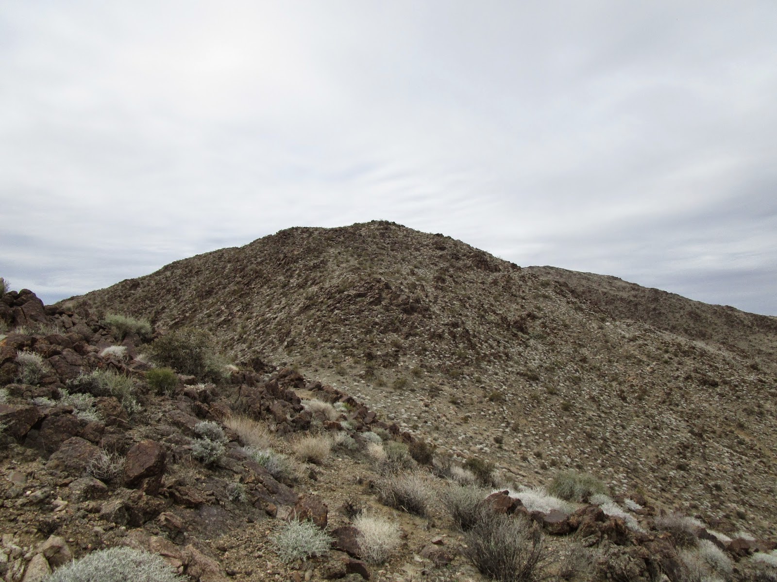
The loop trail starts on the north side of the parking lot and in about a quarter mile descends to San Juan Falls. Like most of the local waterfalls, it had been reduced to a trickle due to drought. We continued to descend south to a creek at about the half way point, then wandered through an oak shaded area next to the creek. Patches of poison oak lurked just off trail in a few places, but none of it intruded into the well maintained trail. There is a junction with the Chiquito Trail just past the creek. Shortly, we turned north again parallel to Ortega Highway and the noise of traffic blended with the nature sounds. We were almost to the Upper San Juan Campground when the hiker in front of us stopped. When we caught up to her, she said a snake was in the trail. Indeed, a juvenile rattlesnake lay half way across the trail, either basking or hunting, but oblivious to the nearby humans. As soon as she recognized our presence, the rattle came to life and she slithered into the grass. The rest of the loop was less rocky than the beginning and we were back at the parking lot in an hour. Flying bugs are starting to gain strength near the creek, so I recommend bug spray from now through the summer. This trail is family and dog friendly. Bikes are not allowed.


San Juan Loop trailhead


San Juan Falls


Here is falls flowing a couple of years later


Blooming yucca


Creek at the bottom of the loop


Shady oaks


Juvenile rattlesnake, best guess western diamondback based on black and white tail stripes


Parker on the trail


Friday, March 20, 2015

Mt. Deception, Mt. Disappointment, San Gabriel Peak

Hiked: 3/20/2015
Distance: 8 miles round trip on road, trail, and cross country
Summit Elevation: 5796' (Mt. Deception), 5960' (Mt. Disappointment), 6161' (San Gabriel Peak)
Prominence: 1561' (San Gabriel)
Elevation Gain: 2180'
Elevation Gain (in Empire State Buildings): 1.74
Round trip time: 3 hours 15 minutes
Recommended water: 64 oz.
Parking/Fees: Adventure Pass
Difficulty: Moderate (combined)

Mt. Deception lies west of Mt. Disappointment, part of a long ridge line that connects to the local high point at San Gabriel Peak. It is the one peak in the San Gabriel cluster I had not visited in my previous trips to the area. I wanted to hit Deception and make my second summit of Disappointment. I ended up hitting up San Gabriel Peak a second time mainly for the workout. I parked at Red Box and followed the winding Mt. Disappointment Road up. I had not been up that road before and it was actually quite pleasant. There are great views of the Arroyo Seco, Josephine, Strawberry, and Lawlor along the way. Pines and their aromatic scents are thick on both sides of the road. When I got to the firebreak on Mt. Deception, I left the road and followed it up to the ridge, then over the false summit to the uninspiring true summit. The most remarkable thing about the summit area was the burned vegetation making a slow recovery. Deception is an HPS peak, but not a USGS peak, so there was no benchmark and no register. Most of the peaks in the San Gabriel cluster are too pedestrian for a register. I continued a short way past the summit to a clearing with better views, then returned to the road on the regular use trail.


Approaching Mt. Deception summit


The nondescript summit of Mt. Deception


Mt. Disappointment (left with towers), San Gabriel Peak (behind),
pinnacle at the end of the ridge of Mt. Disappointment


Close up of the ridge and pinnacle

Back on the road, it was a short trip to the summit of Mt. Disappointment. The radio clusters are second only to Mt. Wilson and there is a well maintained heliport. The launchpad for 1960s era Nike missiles is also in good shape. On my trip down Bear Canyon last year, Sean and I noticed the 85' pinnacle jutting up from the SW ridge of Disappointment. It has no official name, but I considered climbing it. To get to it from the top requires a 280' descent down the ridge, then the climb. I took a hard look at it from Disappointment and I thought my chances were pretty good of getting up it. The ridge, however, looked more dicey. I decided to start down and see what was what. The rock on the ridge is not very sturdy, and other than a few shrubs and small burned trees, the only vegetation is dead or dying poodle dog bush. Sections of the ridge are class 3 with some exposure on both sides, and poodle dog blocks the main path. I put on my gloves and parted the poodle dog, climbing over the rocks and through some small burned trees. I took a photo part way down, then started contouring left where it looked like I could descend. That didn't last long as the loose gravel pushed me back closer to the ridge line. I got down to less than 100' from the saddle in a slippery gully just left of the ridge. It looked like I needed to slide down, but it also looked like a one way trip. I estimated my odds of scrambling back up the gully to be low, so I reversed course, got back on the ridge line and looked at descending that way. I soon ran into a steep, loose down climb that I also didn't like. I decided to head back and stuck to the ridge. It was tricky getting back up and I had one foothold and one handhold break loose on the way, but without mishap. Back on the Disappointment summit, I checked the time and decided to add San Gabriel Peak to the tour. At the top of San Gabriel, I met a very friendly lizard who was ignoring me in favor of the tasty bugs flying around. The lizards were out in force today, meaning the snakes are probably on the way. I took the Bill Reilly trail on the way down for a change of scenery.


Mt. Disappointment benchmark


Mt. Disappointment summit


Mt. Deception from Disappointment


Lizard on the Disappointment ridge


The pinnacle from the top of Disappointment, ridge drops out of view


Part way down the ridge, I got to the end of the white section where a steep drop convinced me to return


Approaching San Gabriel Peak


San Gabriel Peak benchmark


Friendly lizard on San Gabriel Peak


Saturday, March 14, 2015

Mount Mel and Keys Peak

Hiked: 3/13/2015
Distance: 8.7 miles round trip on trail and cross country
Summit Elevation: 3814' (Mount Mel), 4484' (Keys Peak)
Prominence: 324' (Keys Peak)
Elevation Gain: 2000'
Elevation Gain (in Empire State Buildings): 1.6
Round trip time: 4 hours
Recommended water: 112 oz.
Parking/Fees: $15 National Parks (one vehicle, good for a week)
Difficulty: Moderate

Mount Mel and Keys Peak were the last two Joshua Tree Lower Peaks. With these two, I have climbed 63 of the 84 Sierra Club Lower Peaks. Mount Mel and Keys are frequently combined, and I followed the script heading out from the trailhead near Indian Cove Campground at the west turnaround. There are about 5 parking spots there and three were taken by what appeared to be a rock climbing class, getting busy on a tall structure just above the parking area. I started down the nature trail as indicated in the Sierra Club guide, then went cross country where the short trail ended. Mount Mel was visible, so I aimed directly toward the left side. I arrived at the base quickly and made a direct assault from the southwest. Mount Mel is a big pile of boulders and I needed to make a few class 3 moves near the top. On the summit boulder was an unusual looking tube holding the register. I didn't see a benchmark anywhere. The summit area on the boulder was small so I didn't do much but sign the register and take a few quick photos, On the way down, I angled toward the canyon so I could descend to the Boy Scout trail. I spotted a few cairns on the way that favored the left side of the canyon and that way did seem to be less cluttered. Still, the 300' scramble down to the canyon required some attention. Not really hard, but picking my way through the brush and boulders slowed me down. The Boy Scout trail was sandy and wide, perfect for upping the pace. There are some spectacular sheer walls at first that drop away as you continue. In a mile or so, the trail starts to switchback up the canyon and narrows to a single track. The trail is well signed and in great shape.


Rock climbing class near the trailhead


Starting down the nature trail, Mel in view


Climbing the jumble of rocks named Mount Mel


Unusual tube where the register was stored


Looking back at the parking area from Mount Mel summit


The north side of Mount Mel


Boy Scout trail


Lonely tree

I ran into several groups of hikers on the trail, including a large group of actual boy scouts. Everyone was cordial as we passed. Eventually, the trail led out of the canyon and Keys Peak appeared. Keys had some vegetation and trees growing on it but not enough to be in the way. While the ascent was steep, it was nothing more than class 2. Unlike Mount Mel, the summit was long and wide with lots of flat spaces to eat or nap. The weather was so nice I was tempted to do both. Instead I signed the register and located the benchmark and one reference mark labelled No. 2. I thought with such a large summit area, the USGS would have placed reference mark No. 1 somewhere but I couldn't find it. I followed the same path down and returned along the Boy Scout trail. The final challenge was the ascent of the canyon back toward Mel. Going up, I favored the right side, the side I came down, but ended up drifting toward the center. Once past Mel, I could see the parking area and had an easy cross country trek the rest of the way.


Approaching Keys Peak


Straight up the north side


Keys Peak benchmark placed 1939


Popular peak with three registers


Long, flat summit


I think this a pencil cholla (Opuntia arbuscula) with eye catching golden needles


Goofy two minute mash up of all the Sierra Club Lower Peaks in JT


Friday, March 13, 2015

Monument Mountain

Hiked: 3/11/2015
Distance: 6.3 miles round trip cross country
Summit Elevation: 4834'
Prominence: 1134'
Elevation Gain: 1620'
Elevation Gain (in Empire State Buildings): 1.29
Round trip time: 3 hours
Recommended water: 64 oz.
Parking/Fees: $15 National Parks (one vehicle, good for a week)
Difficulty: Moderate

Monument Mountain is #3 on the Lower Peaks List and sports a good bit of prominence. The trailhead is roughly 4.8 miles down Pinkham Canyon Road. Unlike Geology Tour Road, this one is fairly rough with plenty of ruts, potholes, and sandy washes to cross. If you were patient and drove very slowly, a low clearance vehicle could make it, but I would not risk it. I think I could have driven a little further down the road before parking, but I felt I was close enough at a spot where I felt comfortable pulling off and turning around.

I didn't see any trail in the sparse desert, so I took off straight for the lowest bump to gain the ridge. The canyon here is filled with washes, sand, cactus, and small trees, but it is easy going for cross country. Once I gained the first ridge, I started seeing a few cairns and a faint use trail would fade in and out. The goal was to follow the ridge, which is not too hard, but the terrain looks the same in almost every direction. I found myself frequently checking my GPS to make sure I was heading the right way. Monument Mountain is visible from a distance as you drive up the road, but once you are on the ridge, you are faced with many false summits and higher ridge lines, so you don't see the actual summit for a while. I tried to focus on the next bump, then the next, sidehilling some if I could tell where the ridge was going. I made steady progress this way.


Monument Mountain from Pinkham Canyon Road


Starting across the desert


Approaching one of the larger bumps


Monument Mountain rising above the ridge

When I gained the final ridge, the rocky summit of Monument appeared to rise rather abruptly. It looks harder than it is, though, and cairns mark most of way up through some easy class 2. At the top, I found the benchmark, two nearby reference marks, and the register. Monument Mountain has 10 miles of isolation, meaning it is the highest thing around for a good distance. The views weren't quite as nice as the climb, with all the nearby terrain blending in salt and pepper uniformity. Still, this was the first hike in Joshua Tree where I felt really isolated and in the wild. That alone was worth the price of admission. On the way back, I never got off track, but I had the same uneasy feeling that I might be descending the wrong ridge and continued the frequent GPS checks. Finally, I saw the road below and the way down became obvious. When I was almost to the road, I stumbled on a desert tortoise shell broken apart in the middle where Mr. Tortoise had come to an unfortunate end. Whatever got him didn't waste any of the meaty parts, going full circle-of-life.


Cool red tinted rocks near the summit


Monument Mountain benchmark, set 1959


Looking down the ascent ridge


San Jacinto in the distance from the Monument summit


Desert tortoise remains