Hiked: 3/11/2015
Distance: 6.3 miles round trip cross country
Summit Elevation: 4834'
Prominence: 1134'
Elevation Gain: 1620'
Elevation Gain (in Empire State Buildings): 1.29
Round trip time: 3 hours
Recommended water: 64 oz.
Parking/Fees: $15 National Parks (one vehicle, good for a week)
Difficulty: Moderate
Monument Mountain is #3 on the Lower Peaks List and sports a good bit of prominence. The trailhead is roughly 4.8 miles down Pinkham Canyon Road. Unlike Geology Tour Road, this one is fairly rough with plenty of ruts, potholes, and sandy washes to cross. If you were patient and drove very slowly, a low clearance vehicle could make it, but I would not risk it. I think I could have driven a little further down the road before parking, but I felt I was close enough at a spot where I felt comfortable pulling off and turning around.
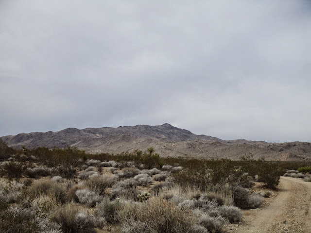
I didn't see any trail in the sparse desert, so I took off straight for the lowest bump to gain the ridge. The canyon here is filled with washes, sand, cactus, and small trees, but it is easy going for cross country. Once I gained the first ridge, I started seeing a few cairns and a faint use trail would fade in and out. The goal was to follow the ridge, which is not too hard, but the terrain looks the same in almost every direction. I found myself frequently checking my GPS to make sure I was heading the right way. Monument Mountain is visible from a distance as you drive up the road, but once you are on the ridge, you are faced with many false summits and higher ridge lines, so you don't see the actual summit for a while. I tried to focus on the next bump, then the next, sidehilling some if I could tell where the ridge was going. I made steady progress this way.
When I gained the final ridge, the rocky summit of Monument appeared to rise rather abruptly. It looks harder than it is, though, and cairns mark most of way up through some easy class 2. At the top, I found the benchmark, two nearby reference marks, and the register. Monument Mountain has 10 miles of isolation, meaning it is the highest thing around for a good distance. The views weren't quite as nice as the climb, with all the nearby terrain blending in salt and pepper uniformity. Still, this was the first hike in Joshua Tree where I felt really isolated and in the wild. That alone was worth the price of admission. On the way back, I never got off track, but I had the same uneasy feeling that I might be descending the wrong ridge and continued the frequent GPS checks. Finally, I saw the road below and the way down became obvious. When I was almost to the road, I stumbled on a desert tortoise shell broken apart in the middle where Mr. Tortoise had come to an unfortunate end. Whatever got him didn't waste any of the meaty parts, going full circle-of-life.


Thank you for a great write-up. We hiked the Ruby leave Mill mine Trail recently which is out in that area. This will be next.
ReplyDeleteUnknown,
DeleteGlad you liked it! It was a fun area, I'm sure you will enjoy the hike. The red rocks around the summit were memorable.