Saturday, January 27, 2018

Wee BM

Hiked: 1/19/2018
Distance: 1.7 miles round trip on trail and cross country
Summit Elevation: 4068'
Elevation Gain: 746'
Elevation Gain (in Empire State Buildings): 0.59
Round trip time: 1 hour
Recommended water: 16 oz.
Parking/Fees: Free at Culp Valley turnout
Difficulty: Easy

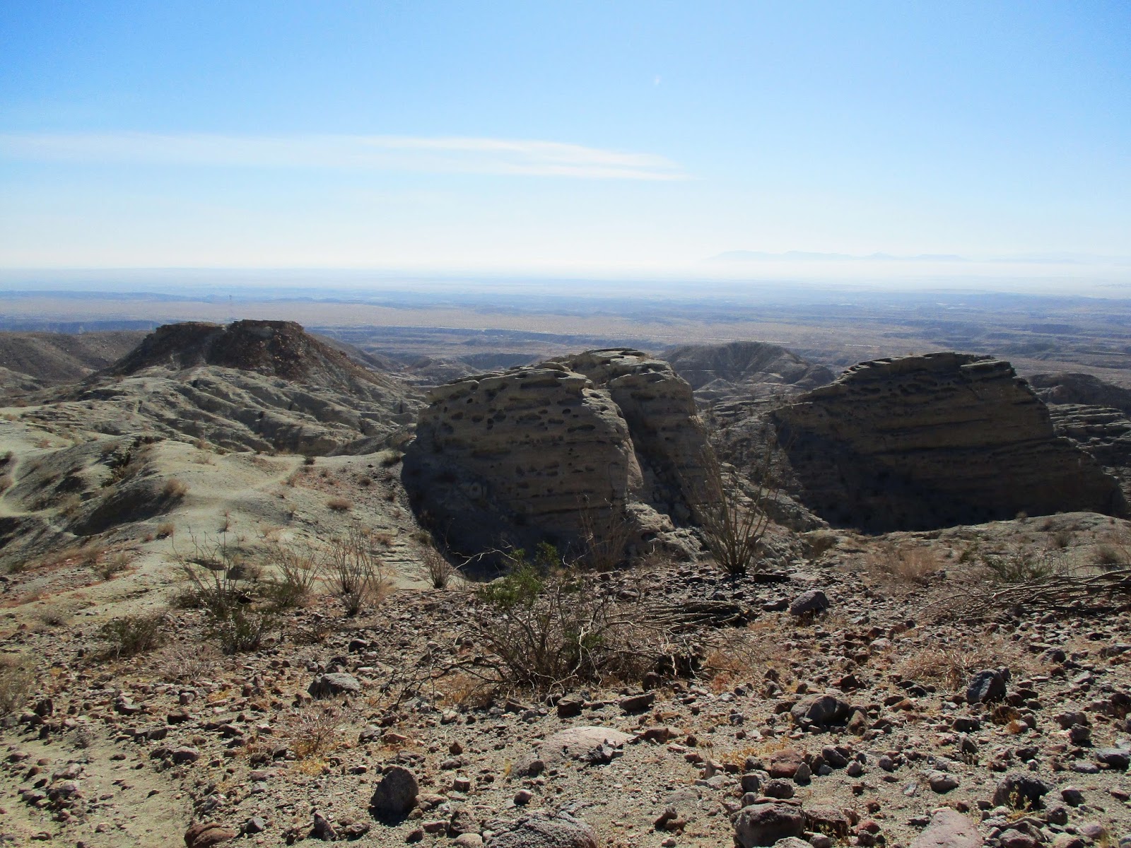
Wee Benchmark was a bonus hike on the way back from Travelers. It had been on my bonus list for a while, waiting to be bagged the next time I drove by it. I had energy left after Travelers so I pulled over off S22 when I got to the Culp Valley Campground dirt road. I knew there was a trail that went just below the summit but it wasn't near where I parked. I started off cross country looking for animal trails and weaving around light brush. I found a memorial rock for "Papster" not far from the turnout, probably where someone buried a pet. About half way up, I found the trail and followed it just below the summit. The top was less than 100' off trail with only loose dirt to slow me down. It was windy on top. After locating the benchmark and register, I carefully signed it making sure nothing blew away. The Thimble barely poked out behind an intervening hill, but San Ysidro Mountain was clear in the distance. I wandered down out of the wind and made it quickly to the truck. It was an unusually prolific January for me. My schedule next month is less accommodating, meaning I'll probably be limited to one or two outings.


Wee BM from the turnout


Ode to Papster


Benchmark


San Ysidro Mountains


Truck from Wee BM

Saturday, January 20, 2018

Travelers Peak

Hiked: 1/19/2018
Distance: 4.8 miles round trip on dirt road and use trail
Summit Elevation: 2697'
Prominence: 697'
Elevation Gain: 2326'
Elevation Gain (in Empire State Buildings): 1.86
Round trip time: 4 hours
Recommended water: 64 oz.
Parking/Fees: Free on Calcite Mine Road
Difficulty: Moderate

A late start got me to the Calcite Mine Road around 10 AM at the southern tip of the Santa Rosa Mountains. I was here for Travelers Peak (SDC #80). I drove up the road (4x4 recommended) about a mile to a convenient turnaround. With the right vehicle and driving skills, it might be possible to drive all the way to the mine, but I didn't want to risk it. It was about 1.1 miles to the Calcite Mine. Slot canyons and broken terrain lined both sides of the road. I didn't find any adits, just large cuts in the earth. I marveled at the rock formations before continuing on a good use trail above the mine. Brush and cactus were nowhere to be found in this barren landscape. Only a few hardy shrubs and a couple of obstinate ocotillo (Fouquieria splendens is not a true cactus).


Starting point


Slot along the side of the road


Just above the Calcite Mine


Severe erosion has taken a toll on the soft rock and everything I touched fell apart. There were a couple of major bumps to clear in the midsection of the hike. The first serious one was littered with exposed boulders requiring some route finding to keep things at class 2. To my pleasant surprise, the use trail persisted as I got higher and the views got better. It also got steeper. From the Calcite mine, it is only 1.3 miles to the summit, but over 1500' of gain in that short distance. There was one bump where I lost the use trail and followed my own imaginary switchbacks to get over it. Despite being higher up, I never got a clear unbroken view of the ridge line to the summit. I trusted the use trail would connect and it did. The crux was at a knife edge section where there was a semi-exposed class 2 scramble. Holds were large, but I had to test every one to make sure it would hold my weight. Pretty exciting.


Class 2


Beautiful and barren


Crux class 2


Final approach

Past the 45-degree crux scramble, it was only a quarter mile to the summit. The well preserved benchmark read "Palm" and was placed in 1939. I'm not sure when the it became Travelers Peak. The register cans held two books, the oldest from 1979 and started with Wes Shelburg. I took my time with the summit ceremony, then started down. It took about the same time to get down as to ascend. Travelers was a true desert gem.


Benchmark stamped "Palm"


Looking north toward Rosa Point, Coyote Mountain distant left


Salton Sea


My buddy Adam Walker was here March 2017


Heading down


A final look back from highway S22


Monday, January 15, 2018

Sierra Peak via Skyline Drive

Hiked: 1/14/2018
Distance: 17.1 miles round trip on dirt road
Summit Elevation: 3045'
Elevation Gain: 3196'
Elevation Gain (in Empire State Buildings): 2.55
Round trip time: 6 hours 15 minutes
Recommended water: 88 oz.
Parking/Fees: Free on Foothill Parkway
Difficulty: Strenuous

This day didn't go as planned. I was going to drive up to Santiago Peak and do some exploring around the summit, but the gate on Maple Springs Road was closed. My backup plan was to check out the Doppler radar tower above Beek's Place by going up Skyline Drive in Corona. Because of the late start, I had to park a long way from the trail on Foothill Parkway. Skyline rose at a low grade and had dozens of switchbacks. This was great on the way up, but tedious on the way down. The trail was busy with a 50/50 mix of hikers and mountain bikers. I cruised up at a reasonable pace to the intersection of Skyline and Main Divide Road. At the intersection were four large thin red and white radio towers I had never noticed before. I took a left on Main Divide and went by Beek's Place to the Doppler tower. The tower pieces were assembled in a way that made it look like a cracked egg. While I was there, I wanted to check out the ridge line down into Tin Mine Canyon. I poked around and wandered a short distance down what looked like an animal trail. The trail was quickly swallowed by brush and it confirmed my suspicion that any descent along that ridge was going to be problematic. Not only was it dense, there are sub-ridges, and staying on track would be difficult. In any case, I was unprepared for a serious brush fight. As I started back, I noticed Sierra Peak in the distance. It didn't look too far and the GPS calculated it at 2 miles as the crow flies. I was short on water but decided I could make it. I wanted to check out the burn damage around the peak from the Canyon Fire that scorched 2600 acres back in September. The road took many twists turning the 2 crow miles into 3 biped miles.


Doppler tower barely visible at the top of Tin Mine Canyon


Inland Empire from Skyline Drive


Doppler up close


Descending this ridge would be a full contact fight


Sierra Peak

When I got close, I could see the entire summit area had been barbecued. Every plant on the eastern slopes was black and there was no grass. The southeast tower apparently took the brunt of the fire as it swept over the summit. It was destroyed. A sign on the tower warned that it was unsafe. The northwest tower had some burns on the building, but appeared to be operating. Remarkably, the rest of the towers looked fine, some with superficial smoke damage. The benchmark was still in place. It was another clear day with fantastic views, including a crisp outline of Catalina. I rested below the destroyed tower for a while and nursed the water I had left. It was a long way back but the road was easy going. There were several mountain bike use trails that could be taken as shortcuts down Skyline Drive. I only took one shortcut, dodging a red bike bombing down at 40mph. I wished I had taken more since the lower switchbacks were interminable. A 17 mile hike usually leaves me soaked in sweat, but minor dehydration left me dry. I picked up some extra water while driving home.


Charred


Looking south at the rest of the Santa Ana range


Air conditioners were ready to fall through the roof


Clear outline of Catalina