Distance: 13.3 miles round trip cross country
Summit Elevation: 4419' (Aqua), 4482' (Spectre)
Prominence: 2546' (Spectre)
Elevation Gain: 3800'
Elevation Gain (in Empire State Buildings): 3.0
Round trip time: 9 hours 10 minutes
Recommended water: 144 oz.
Parking/Fees: Free at turn out on Highway 62
Difficulty: Strenuous
Hardcore Henry and I drove to the Coxcomb Mountains east of Joshua Tree for Aqua Benchmark and Spectre Peak (DPS #75). We parked at a turnout near mile marker 72 off highway 62. The Coxcomb Mountains are a rugged collection of rocks and spires eerily uniform in all directions. Landmarks are difficult to discern making navigation difficult without GPS. We decided to make a loop out of it by ascending a shortcut gully and descending the standard route gully. The three main attractions in this range are Aqua Benchmark, Spectre Peak, and Dyadic Point. While all are challenging, Dyadic is more technical and we opted to save it for a separate trip.
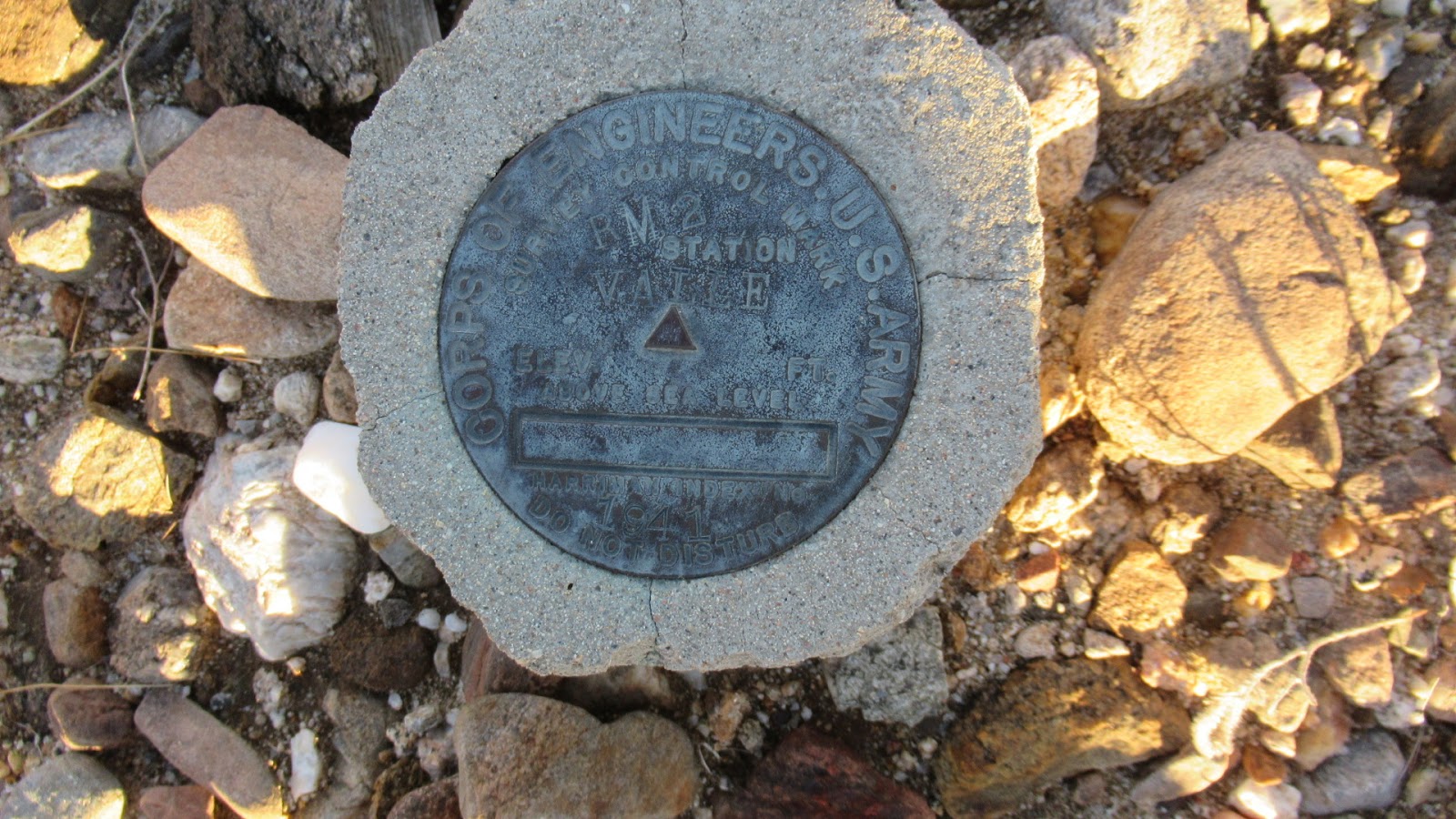
We started just before sunrise with the temp hovering around freezing. The high for the day was supposed to hit the mid-40s but at elevation, it stayed very cold. The 3+ mile approach followed a sandy wash with few obstacles. I was surprised by the almost complete lack of cactus. Grass, catclaw, and a few hardy shrubs were the only vegetation. At the shortcut gully, the scrambling started in earnest. The rock for the most part was poor. Don't trust anything without testing it first. There was one difficult puzzle in the first section that lacked obvious holds. Henry found a way up on the right side while I stemmed a narrow chimney on the left. After topping out the first section, a long middle section rose moderately. The third and final steep section seemed to go on forever before dumping us out on the northwest shoulder of Aqua. We continued directly to the summit with a register and benchmark. It took about four hours to reach Aqua but most of the gain was behind us. Amazing views stretched out in all directions. Spectre and Dyadic were directly across a wash. This angle on Dyadic was striking. We signed in then quickly dropped off the summit to get out of the wind. While descending toward Spectre, I broke off a 100 pound piece of rotting rock that thankfully missed my foot.


Sandy wash


Shortcut gully

Crux move in the shortcut

Looking back from the top of the first section


The middle section of the shortcut

Henry approaching Aqua Benchmark


On the summit with Spectre directly behind

Dyadic Point from Aqua
From the Aqua summit
We crossed the wash toward Spectre and stopped for an energy break where we were sheltered from the wind. I dropped my pack and marked the location. Approaching Spectre, we spotted small cairns that led us on a relatively easy path beyond the base. The ascent was class 3 along ledges with a few airy moves. Half way up, we lost the cairns and ran into tougher moves among the giant boulders. Fortunately, while looking for a way up we spotted a cairn about 20' below in a place we could down climb. That got us back on track and within a few minutes, we were at the summit. There was no benchmark, but the large ammo box contained several registers. We signed the large book that had a dedication to the Navy on the first page. Several other parties had visited within the last couple of months. These obscure desert peaks seemed to be gaining a bit of popularity. Like Aqua, the views were stunning. We hung around a bit on the summit before starting down. I returned to pick up my pack, then we descended the standard route wash that goes between Aqua and Dyadic.

Heading to Spectre


Half way up


Ammo box with register


Looking over at Aqua


Dyadic from Spectre


Although there was a little more scrambling in the wash on the way down, it was easier than our shortcut on the way up. The route out also had useful cairns that bypassed a few dry falls. Near the bottom, we met a tarantula that was likely close to frozen. It didn't react as we photographed it. We continued down until we hit the major wash running perpendicular. Another mile and change closed our loop and we trudged the 3+ miles out to the highway. Spectre was a worthy opponent in unique terrain.

Frozen water puddle

Descending the standard route


Cold spider

note: GPS readings in convoluted terrain are somewhat error prone

Would you like to know more...?