Sunday, October 27, 2013

Elsinore Peak

Hiked: 10/27/2013
Distance: Drive up
Summit Elevation: 3575'
Prominence: 435'
Elevation Gain: 0'
Elevation Gain (in Empire State Buildings): 0.00
Round trip time: N/A
Recommended water: N/A
Parking/Fees: Adventure Pass
Difficulty: Easy

Elsinore Peak is one of the two named Santa Ana peaks I was aware of but had not visited. The other being Horsethief Peak. When my exploration of Upper Hot Springs Canyon didn't go as far as I expected, I made a short side trip to tag Elsinore Peak. It overlooks Lake Elsinore, and despite being cluttered with communication towers, offer nice views east of San Jacinto and San Gorgonio. I drove up South Main Divide Road, then continued on the dirt road to the peak, stopping at a turn out less than a quarter mile from the summit. At the top, I found two reference marks pointing to the triangulation high point, but could not find a benchmark at the actual summit. I took a couple of panoramas that didn't turn out because I didn't keep the phone steady, then headed back to the car. Even the still shot of the benchmark was blurry, another operator error.


Elsinore Peak adorned with comm towers


One of two reference benchmarks I found, but no summit benchmark


San Gorgonio from Elsinore Peak

Upper Hot Spring Canyon

Hiked: 10/27/2013
Distance: 3.2 miles round trip on trail and cross country
Summit Elevation: 3342' (high point at trailhead)
Elevation Gain: 769' (loss then gain)
Elevation Gain (in Empire State Buildings): 0.61
Round trip time: 2 hours
Recommended water: 40 oz.
Parking/Fees: Adventure Pass
Difficulty: Easy

Update 2/20/2015:
I returned to complete the full trip to Tanriverdi Falls

Hot Spring Canyon runs about 9 miles in the Santa Ana Mountains from the Falcon Campground to a ranger station just off the Ortega (Highway 74). The prize in the canyon is the rarely seen 160' Tanriverdi Falls about half way down the canyon. The inspiration for this hike was this trip report and several impressive photo albums. According to the trip report, there are 5 mandatory rappels requiring advanced canyoneering skills. My goal was to see how far down the canyon I could get without equipment.

I parked at the first parking area in the Falcon Campground and displayed my Adventure Pass. I was not sure if an additional parking fee was required to park inside the camp, but I took my chances. Directly across the road was the start of a trail leading to the canyon. Once in the canyon, there is a use trail that runs on the right side, dropping into and out of the canyon at various points. It is somewhat overgrown in a few areas, but not too hard to follow. Los Pinos Peak towers over the canyon and was visible most of the way.


Early canyon terrain


First water encountered in the canyon


Los Pinos Peak dominating the landscape

The first real obstacle I ran into was deadfall clogging the canyon. The use trail disappeared and I scrambled over the trees to find the best place through. Returning, I found a place where only one tree can be crawled under but it was not obvious on the way down. Soon, I got to Upper Hot Spring falls, a dry 15' fall that was easy to walk around. The rock leading up to it was an attractive marbled white and gray. Most of the large rocks were worn smooth by water and didn't have much traction, even dry.


Deadfall and debris blocks the way


Marbled rocks before Upper Hot Spring falls


Upper Hot Spring falls

The second falls was a show stopper. It was a 30' drop into a shallow pool. There was a path along the cliff that appeared to be a way around, but the rocks were smooth (slick) and a fall would have been catastrophic. I decided not to chance it and head back to look for a higher way around. I found a faint use trail that headed up but soon cliffed out back at the canyon. I backed up further and found another faint trail that went higher, but eventually disappeared. From there, bushwhacked most of the way up the bump above the falls, which was unpleasant, but not impassable chaparral. From that vantage point, I could see it was not going to be easier going down the other side. This route is possible with enough determination, but I concluded I might be able to make an easier run at Tanriverdi Falls by going over Los Pinos and following the trail down to a departure point on the ridge. From the Los Pinos trail, a ridge or gully descent toward the falls would also be an unpleasant bushwhack, but shorter than from the top of the canyon. Another possible approach would be to go down the north side of Old Sugarloaf, more nasty bushwhacking, then ascend up to the falls. Or, do the full slog up the canyon from Ortega Highway, with permission to pass through the private land owned by a church.


The 2nd falls


Looking back up the canyon from the bump above the 2nd falls


Sugarloaf (left) and Old Sugarloaf (right)


Friday, October 18, 2013

Mt. Baden-Powell, Mt. Burnham, Throop Peak

HPS Star Emblem Peak
Hiked: 10/18/2013
Distance: 13.3 miles round trip on trail and cross country
Summit Elevation: 9399' (Baden-Powell), 9001' (Burnham), 9142' (Throop)
Prominence: 2799' (Baden-Powell), 197' (Burnham), 618' (Throop)
Elevation Gain: 4320'
Elevation Gain (in Empire State Buildings): 3.45
Round trip time: 7 hours
Recommended water: 168 oz.
Parking/Fees: Adventure Pass
Difficulty: Strenuous (combined)

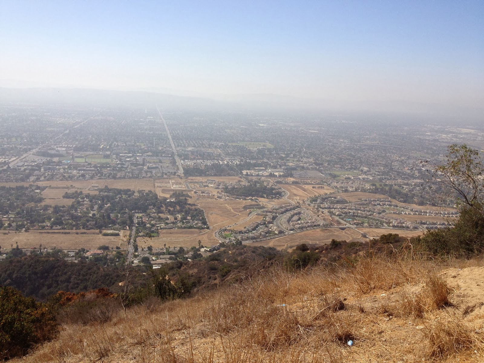
I had been itching to spend some time in the middle high country of the San Gabriels. I got my chance with this triple play of high peaks. Coming from south OC, it was a long drive around the mountains to get to the trailhead at Vincent Gap. I left at 4:30 AM and pulled into the parking lot at 6:15 AM. It was still very dark, the dark side of Baden-Powell being like the dark side of the moon. I expected the temperature to be in the high 30s at the trailhead, but it was 45F. That would not last, and the cold nearly turned me back at one point. The first storm of fall had dropped a few inches of snow on Baden-Powell the previous week, and I could not decide if I needed to prepare for a real snow hike. I decided to go with trail runners and extra socks in case they got wet, and also brought head protection, gloves, and three upper layers.

I rigged my lighting and followed the sign to the Baden-Powell trail, which is part of the PCT. The trail was mostly clear except for a dozen or so places where snow and ice covered short sections. Until the next storm, I expect the snow patches to dwindle. I needed artificial light for about 30 minutes before the sun could illuminate the trail. The early part of the trail was a mix of deciduous and pines, which eventually turned to just pines, then just limber pines the last few hundred feet. The temp dropped into the high 30s and stayed there all the way to the top. When I got to the Wally Waldron tree, my hands were very cold from taking my gloves off to take pictures. On the Baden-Powell summit, named after the founder of the Boy Scouts, there was a constant 25-30 mph wind and that put my hands into deep freeze. I am definitely going to invest in a pair of those gloves that can operate a phone without taking them off. I took some quick pictures and signed the summit log. Due to the wind, I only stayed on the summit for a few minutes, then immediately started down to get out of it.


Trailhead


Almost sunrise


A little snow on the trail


My one and only


Approaching Baden-Powell, snow covered north face


The Wally Waldron limber pine tree, estimated to be 1500 years old, named after a local Boy Scout leader


Baden-Powell summit plaque (gloves off, hands freezing!)


Descending to get out of the freezing wind

I descended back to the Wally tree and PCT junction and sat in a patch of sunlight to eat something. My fingers were now completely numb and becoming a concern. I had to use my knife to open the pull top lid on some chunk white chicken. I considered heading back down, but thought the Grabber hand warmers I had might bring my fingers back to life. I had to use the knife again to open the package, then stowed my single trekking pole, and put my hands in my jacket pockets with kung fu grips on the hand warmers. Within a couple of minutes, I could sense the heat, but my fingers were still useless. I decided to continue along the PCT toward Mt. Burnham and turn back if I my hands did not improve. There were more snow and ice patches covering the PCT in the shadow of Baden-Powell, but they cleared out once I got in the sun. When I was half way to Burnham, my fingers were starting to tingle and warm up. As I hit the Burnham summit, they were pretty much thawed and the constant sunlight on the ridge was warming me up in general, though the temp remained below 50F. This was enough motivation to continue to Throop.


Approaching Mt. Burnham, Throop Peak behind


Anti-climactic Mt. Burnham summit

I kept warming my hands until they were balmy and sweaty, then broke out the pole for the ascent of Throop Peak, which had some of the best views of the day. From the Throop summit plaque, I discovered that Throop Peak was named after Amos Throop, founder of Throop University in 1891, now known as the California Institute of Technology. I had planned to also tag Mt. Hawkins, but opted to bundle it with a pack of peaks some other day. I met two solo hikers on the way down, the sum total of my human interaction in the mountains that day. During the drive back, I stopped to take a parting shot of Baden-Powell from Highway 2.


Approaching Throop Peak


Twin sentinels on the Throop ridge


Throop Peak summit


Baden-Powell from Throop Peak


On Throop Peak, Baldy in the background


Baden-Powell in the rear view mirror


Sunday, October 13, 2013

Laguna Coast Willow Canyon to Old Emerald Falls Loop

Hiked: 10/13/2013
Distance: 6.4 miles round trip on trail
Summit Elevation: 986' (high point on ridge)
Elevation Gain: 1361'
Elevation Gain (in Empire State Buildings): 1.08
Round trip time: 2 hours
Recommended water: 40 oz.
Parking/Fees: $3 OC Parks
Difficulty: Easy

The Laguna Coast Wilderness Park has several entrances. I started this loop on Laguna Canyon Road just past El Toro on the right side of the road (heading toward Laguna Beach). Officially, it is Gate #6 on the map. I followed a balloon shaped loop using the following route:

Willow Canyon to Bommer Ridge (turn left)
Bommer Ridge to Old Emerald Trail (turn right)
Old Emerald Trail to Emerald Canyon (turn right)
Emerald Canyon to Old Emerald Falls (turn left)
Old Emerald Falls to Moro Ridge (turn right)
Moro Ridge to Bommer Ridge (turn right)
Bommer Ridge to Willow Canyon (turn left)

Old Emerald Falls takes you into the remote regions of Crystal Cove State Park, and you return to Laguna Coast Wilderness Park through gate #12 back to Bommer Ridge. The Pacific Ocean is normally visible from Bommer Ridge, but it was overcast today and the views were hazy at best. The weather was a cool 65F and there were plenty of hikers and mountain bikers around.


Descending Old Emerald trail


Junction with Old Emerald Falls trail


Old Emerald Falls trail


Friday, October 4, 2013

Azusa Peak

Hiked: 10/4/2013
Distance: 2.5 miles round trip on trail
Summit Elevation: 2081'
Elevation Gain: 1260'
Elevation Gain (in Empire State Buildings): 1.00
Round trip time: 1 hour 10 minutes
Recommended water: 24 oz.
Parking/Fees: Free on Sierra Madre Ave
Difficulty: Easy

Yet another week with limited time restricted my targets to short hikes. I intended to visit Sunset Peak in the San Gabriels, but the rangers had the gate closed. I spoke with one who told me it was because of fire danger from the Santa Ana winds, but it may have been due to the ongoing federal government shutdown. I knew National Forest gates would generally be closed, but Glendora Ridge road is a major paved road and I never noticed the gate there.

I had to descend out of the mountains to get a cell signal again, then hunted for a nearby short peak. I found Azusa Peak about 15 minutes away and set my phone nav to get me there. I drove by the Los Angeles fire station where Garica Trail starts and had to turn around to park. The trail gains elevation briskly and never lets up much. While steep, the trail is very short and I was standing on top of Azusa Peak in 40 minutes without pushing myself. The trail was crowded with hikers of all abilities, and a few dogs. You hike near the big "A" (for Azusa I suppose) on the side of the mountain and with a short side trip, you can descend another ridge to get to it. Being time constrained, I was content to bag the peak and return.


Garcia Trail start in front of the fire station


Looking down on the fire station at the start


The big "A" on the mountainside


Cross at the Azusa Peak summit


View of the San Gabriels from Azusa Peak


Azusa and Glendora through the haze from Azusa Peak


Descending from the peak