Monday, May 22, 2023

Box Springs Mountain Lookout

Hiked: 5/20/2023
Distance: 8 miles round trip on trail
Summit Elevation: 2060'
Elevation Gain: 2176'
Elevation Gain (in Empire State Buildings): 1.7
Round trip time: 3 hours 30 minutes
Recommended water: 64 oz.
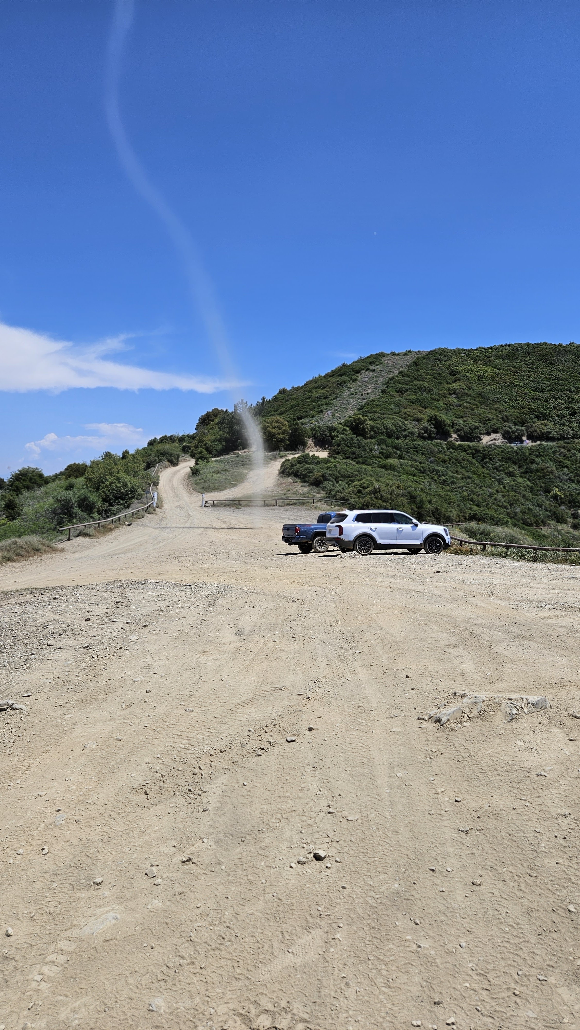
Parking/Fees: Free on Two Trees Road
Difficulty: Moderate

Leisa and I drove to Riverside for a training hike on Box Springs Mountain. Using caltopo and open street map, I created a track that attempted to mirror Ellen Coleman's loop hike starting at Two Trees trail to the Box Springs Mountain Lookout, down the Horse Trail, then down a use trail toward Islander Park, then back to the start. We found one of the few parking spots open at Two Trees on Saturday morning, then started up in low clouds. We had plenty of company on the trail. Two Trees had a steady upward grade amidst the boulder stewn slopes. We heard donkeys braying near the start but could not find them. In about a mile, we reached the top of the trail and followed the dirt road past the main parking area. Before long, we reached the junction with the Spring Trail and met three donkeys. One was youngish, and all were friendly, curious, but cautious. We were just more passing hikers. We took some photos and continued our ascent toward the Lookout.


Wild burro


The road on Box Springs made a few tight switchbacks, then we reached the Lookout Site. I poked around outside the fenced radio towers looking for the high point. We took a break there, reading the warning signs about high electromagnetic radiation and 24-hour cameras. With some hints from the GPS, we located the top of the Horse Trail, and started our way down. We were alert for snakes as the temperature warmed up and sun burned through the lingering haze. The Horse Trail was not as well maintained as others, but was perfectly usable. It dropped us on a dirt road near a low tower of some sort. We went around the tower and found a use trail heading down. A few hundred feet down that trail, I got a stern rattle from a beautiful red diamond. I leaped two giant steps away and turned around to see the snake retreating while Leisa laughed at my overreaction. I tried to get a video, but he was lost in the grass before his tail disappeared under the rock. My second rattlesnake in two days. I composed myself and we continued following the trail until we reached a small pile of boulders. A faint trail continued over the boulders into what looked like a steep drop. A more defined trail veered to the right, but it also faded as it rolled over the next rise. I scouted ahead a little, but it was heading away from my track and there was no sign of a trail where I expected. After looking at Google Earth afterward, the trail over the boulders was the way to go, over the big C and down to the road. I didn't want to lead us into snake infested tall grass, so we headed back up to the dirt road and took the Edison Trail back to the parking lot. From the top of Two Trees, we ran into a larger herd of donkeys. That was some consolation for breaking our original loop. The rest of the trip back was easy and uneventul.

Radio tower at the lookout


Box Springs Mountain high point


Along the Edison trail


Herd of wild burros


Sunday, May 21, 2023

Modjeska East Face and Maple Springs Point

Hiked: 5/18/2023
Distance: 4.1 miles round trip on trail and cross country
Summit Elevation: 5499' (Modjeska), 4560' (Maple Springs Point)
Elevation Gain: 1620'
Elevation Gain (in Empire State Buildings): 1.3
Round trip time: 3 hours
Recommended water: 52 oz.
Parking/Fees: Free on Maple Springs Road
Difficulty: Moderate (route finding, scramble, brush)

Trails run up the north and west sides of Modjeska. Satellite views showed a giant talus field on the east face and I aimed to explore it. I drove up Maple Springs Road to the large turnout area a little more than a mile below Modjeska. The paved portion of the road was in poor shape with large potholes and water flowing over the road in at least 5 places. The record winter rain had done some damage to the road. The dirt portion of the road had been rutted and was not great the last time I drove it, but I was pleasantly surprised to find it had been graded. It was probably done after the rains and I didn't even need high clearance. After parking, I took the trail that runs up the northwest side, saving some time over the Main Divide Road. The trail dumped me below the final ridge, but I continued over the road and down the use trail that connects Modjeska with Santiago. That trail drops to 5000' at the saddle. I left the trail at the saddle through light brush, trees, and leaf litter to reach the talus field.

Modjeska's northwest slope from the parking area

Above the marine layer

Into the forest from the saddle

Reached the talus slope, looking down Coldwater Canyon

Talus extends up left and right of the forested pockets


The talus was a mix of small red and gray rocks. Larger rocks would have been easier to navigate, but I was there to explore. I had mapped out a route that followed the talus sort of northeasterly, avoiding the forested sections on the east face. However, after I was on it, the talus was so loose, it became difficult to make upward progress. Instead, I decided to head for the forested sections where I could at least use trees and bushes to pull myself up. It was very steep and slow. I took some drone shots of me fumbling around on the talus, then tried to find the path of least resistance up. There were a few large rock outcrops, class 2/3, and those made travel easier and stable. Another talus section was unavoidable, but didn't last long. About 100' below the summit, I stopped to rest below a boulder where a wall of trees seemed to block all progress. I drank some water and ate a bar to figure out the best move, and wondered if I had gotten myself into a bad situation. When I got my breath back, I took off my pack and hoisted it on the top the boulder. I broke off some of the branches of the trees on both sides and that allowed me to climb on top of the boulder. This was the crux and got me onto much easier terrain with a mostly clear shot to the summit. I had gained about 500' in a quarter mile and rested alone on the summit. On the way down, I took the road and heard a rattlesnake to my left. I stopped and looked, but it wasn't until the 3rd rattle that I spotted a well hidden speckled rattlesnake above me just off the road. I was never closer than 12' but I appreciated the warning. He was coiled in a defensive position and didn't move for the few minutes I studied him. I continued down the trail back to the truck. There was a provisional peakbagger point about 1000' from where I was parked, so I spent 15 minutes tagging it before packing up and driving down. Half way down, two forest service trucks were coming up and stopped to talk to me. They asked if I had seen a cop on my way down. I told them I hadn't. Five minutes later, I passed a cop in Ford Explorer and told her the forest service guys were looking for her. I have no idea what that exercise was about, but it added to the half day of wonder. My curiosity about the east face had been sated. It made me respect what an epic ascent from Coldwater Canyon would be like. I might map it, but have no plans to pull the trigger on that one.

Dense section of forest

Major rock outcrop, solid footing, easy to climb or bypass


Memorial plaque for Richard Cox (2009-12-27). I found it in the grass and set it up on a boulder

Santiago

Looks like a speckled rattlesnake, so hidden I didn't see him until the 3rd rattle.


This was at the high point of Maple Springs Point. Had to weave around brush to reach it.

Rare dust devil near the truck


Friday, May 19, 2023

Peak 906

Hiked: 5/18/2023
Distance: 1 mile round trip on trail
Summit Elevation: 906'
Prominence: 486'
Elevation Gain: 200'
Elevation Gain (in Empire State Buildings): 0.2
Round trip time: 20 minutes
Recommended water: 0 oz.
Parking/Fees: Free on Del Dios
Difficulty: Easy

We parked at the culdesac on Del Dios where there was an access point to the Rancho San Clemente ridge line trail. The trail was a wide dirt road with a few other people on it. An easy breezy walk got us on top of 906. We found a gated and locked cement area but could not determine its purpose. The views were open but obscured somewhat by a lingering May gray marine layer. We did have a good view of Interstate 5. 486' of prominence is pretty impressive for a suburban coastal hill. It was great to catch up with Adam and his worldwide exploits. He had recently returned from a tour of South America and his next trip to Indonesia was coming up.


Gated feature

I-5 going north

I-5 south

Thursday, May 18, 2023

Peak 880 and Peak 850 Loop

Hiked: 5/18/2023
Distance: 0.9 miles round trip on use trail and trail
Summit Elevation: 880', 850'
Elevation Gain: 331'
Elevation Gain (in Empire State Buildings): 0.3
Round trip time: 30 minutes
Recommended water: 0 oz.
Parking/Fees: Free on Camino Las Ramblas
Difficulty: Easy

Adam Walker was in town for a little while and we were able to meet up to bag some small but >300' prominance local hills. Peakbagging fast food, but big enough to log. The goal was Peak 880 with Peak 850 as a bonus. There were several trail options to get to 880. We picked a use trail going straight up. It was steepest this way, but not overly steep. We weren't counting on the weeds to not only have grown over our heads but in places completely obscured the use trail. We could still see the trail on the ground, but had to push through solid weeds and thistle in a few places. More adventure than we expected, ha! After pushing through to the top, we met two dirt bikers who had ridden up. There was a bench on top, but poor views due to the weeds and no other markers. We only spent a couple of minutes there, before descending a real trail to the north. We stopped at unofficial peak 850 to see what was there, then followed the trail back to the truck. Both of us discovered a tick on us later in the day and we think it came from here. The first of two short outings.


Weeds on the use trail

Serious Weeds


Looking back at Peak 880 from Peak 850


Rocks on 850

Wednesday, May 10, 2023

Poopenaut Dome

Hiked: 5/7/2023
Distance: 0.6 miles round trip cross country
Summit Elevation: 5260'
Elevation Gain: 250'
Elevation Gain (in Empire State Buildings): 0.2
Round trip time: 40 minutes
Recommended water: 0 oz.
Parking/Fees: $30 National Parks Fee (1 car for 1 week)
Difficulty: Easy

We wanted to get in one final hike before we started home. The weather cleared on the day we were leaving and the forecast was for it to be 75F by Friday. Sometimes the weather gods smile on you, sometimes they don't. Poopenaut Dome is minor granite dome at the first hairpin turn inside the park and there is no trail. We parked in a small turnout on the right side of the road after the hairpin, then walked back across the road to locate an easy access point. We started up a swampy rise and snaked around some boulders. From the start, it looked like there might be some scrambling involved, but we found a route up that didn't require hands. We found a pristine benchmark on top from 1956. Mike Toffey placed a register in February, 2023 and there was only one page of signatures. We added our names, then enjoyed the clear views into the valley and over to the dam. I think the view was better here than it would have been from Lookout Point. Poopenaut was higher and closer to the river. We drove down to the dam once more to look around without clouds. It was a fun way to wrap up the trip.

Heading for the dome


Rainbow below the dam

Poopenaut Valley