Distance: 4.1 miles round trip on trail and cross country
Summit Elevation: 5499' (Modjeska), 4560' (Maple Springs Point)
Elevation Gain: 1620'
Elevation Gain (in Empire State Buildings): 1.3
Round trip time: 3 hours
Recommended water: 52 oz.
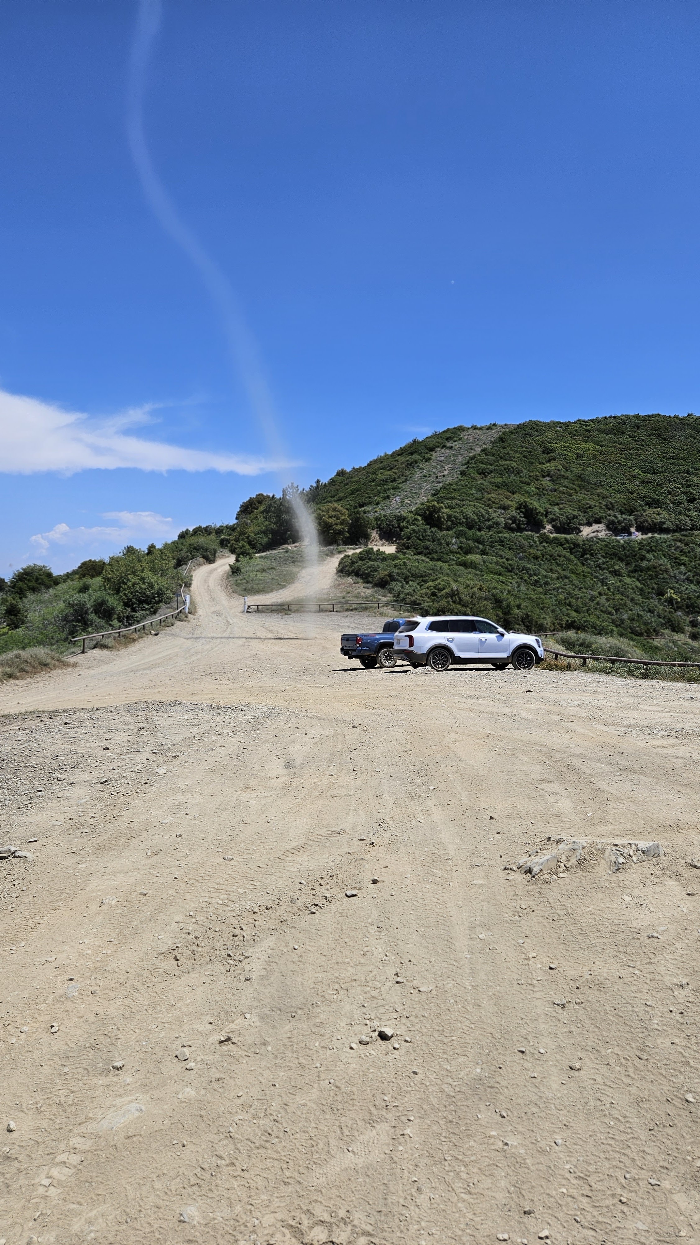
Parking/Fees: Free on Maple Springs Road
Difficulty: Moderate (route finding, scramble, brush)
Trails run up the north and west sides of Modjeska. Satellite views showed a giant talus field on the east face and I aimed to explore it. I drove up Maple Springs Road to the large turnout area a little more than a mile below Modjeska. The paved portion of the road was in poor shape with large potholes and water flowing over the road in at least 5 places. The record winter rain had done some damage to the road. The dirt portion of the road had been rutted and was not great the last time I drove it, but I was pleasantly surprised to find it had been graded. It was probably done after the rains and I didn't even need high clearance. After parking, I took the trail that runs up the northwest side, saving some time over the Main Divide Road. The trail dumped me below the final ridge, but I continued over the road and down the use trail that connects Modjeska with Santiago. That trail drops to 5000' at the saddle. I left the trail at the saddle through light brush, trees, and leaf litter to reach the talus field.


The talus was a mix of small red and gray rocks. Larger rocks would have been easier to navigate, but I was there to explore. I had mapped out a route that followed the talus sort of northeasterly, avoiding the forested sections on the east face. However, after I was on it, the talus was so loose, it became difficult to make upward progress. Instead, I decided to head for the forested sections where I could at least use trees and bushes to pull myself up. It was very steep and slow. I took some drone shots of me fumbling around on the talus, then tried to find the path of least resistance up. There were a few large rock outcrops, class 2/3, and those made travel easier and stable. Another talus section was unavoidable, but didn't last long. About 100' below the summit, I stopped to rest below a boulder where a wall of trees seemed to block all progress. I drank some water and ate a bar to figure out the best move, and wondered if I had gotten myself into a bad situation. When I got my breath back, I took off my pack and hoisted it on the top the boulder. I broke off some of the branches of the trees on both sides and that allowed me to climb on top of the boulder. This was the crux and got me onto much easier terrain with a mostly clear shot to the summit. I had gained about 500' in a quarter mile and rested alone on the summit. On the way down, I took the road and heard a rattlesnake to my left. I stopped and looked, but it wasn't until the 3rd rattle that I spotted a well hidden speckled rattlesnake above me just off the road. I was never closer than 12' but I appreciated the warning. He was coiled in a defensive position and didn't move for the few minutes I studied him. I continued down the trail back to the truck. There was a provisional peakbagger point about 1000' from where I was parked, so I spent 15 minutes tagging it before packing up and driving down. Half way down, two forest service trucks were coming up and stopped to talk to me. They asked if I had seen a cop on my way down. I told them I hadn't. Five minutes later, I passed a cop in Ford Explorer and told her the forest service guys were looking for her. I have no idea what that exercise was about, but it added to the half day of wonder. My curiosity about the east face had been sated. It made me respect what an epic ascent from Coldwater Canyon would be like. I might map it, but have no plans to pull the trigger on that one.


That talus slope reminds me a bit of the route up to Sugarloaf.
ReplyDeleteMadison,
DeleteThey were similar, but the rocks on Sugarloaf were larger and easier to navigate. I slid back a lot more on Modjeska. On the plus side, with smaller rocks, less chance of twisting an ankle.