Saturday, January 28, 2023

Blue Angels Peak, Three Benchmarks, and a Cherub

Hiked: 1/27/2023
Distance: 7.5 miles round trip on dirt road and use trail
Summit Elevation: 4548' (Blue Angels)
Elevation Gain: 2155'
Elevation Gain (in Empire State Buildings): 1.7
Round trip time: 4 hours 10 minutes
Recommended water: 40 oz.
Parking/Fees: Free on Smugglers Road
Difficulty: Moderate (scramble)

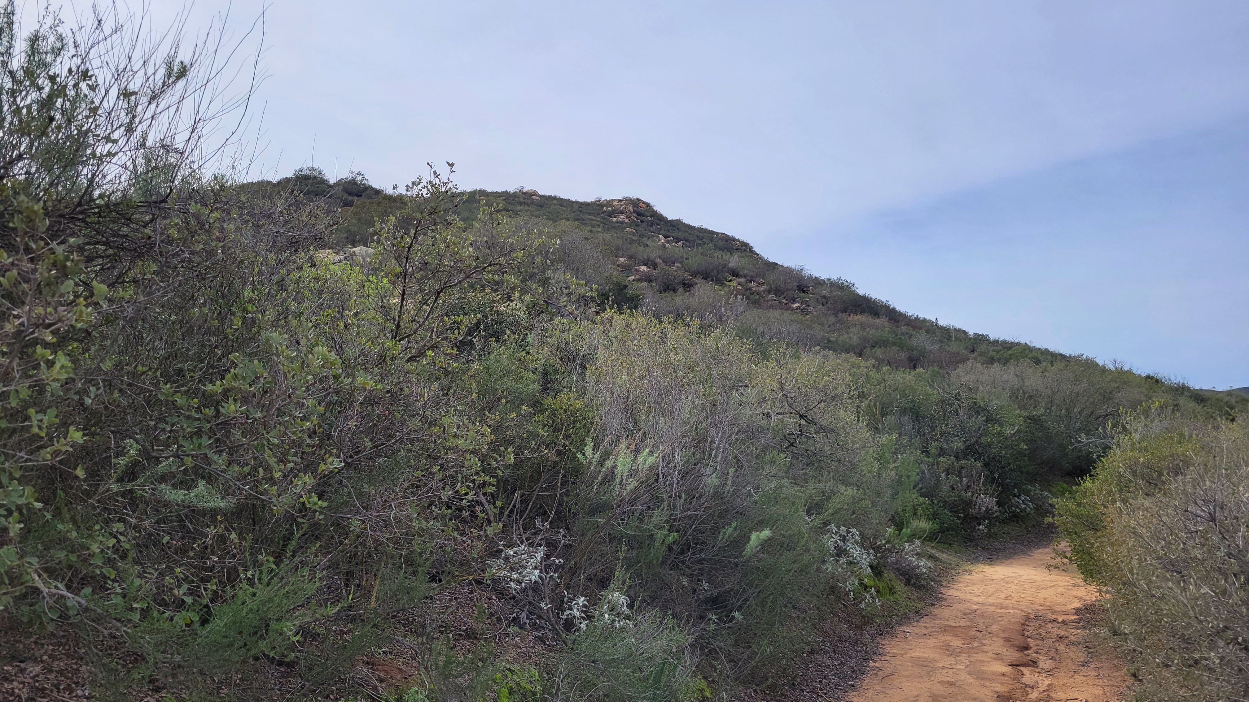
Blue Angels Peak is on the US-Mexico border in the Valley of the Moon. It's a rock filled wonderland in southern San Diego County. I exited I-8 at In-Ko-Pah Road, then parked a short distance up the dirt road to Blue Angels. I would have driven further, but the road was deeply rutted, and while my truck was capable, I was less sure about my driving skills. A maze of dirt roads was etched into the hills. On my way to Blue Angels, I was passed by two Border Patrol trucks. I also saw a spotter plane above. In addition to Blue Angels, I wanted to climb three small benchmarks. My itinerary was:
  • Blue Angels Peak (4548', class 2)
  • "Blue Cherub" (4325', class 3)
  • Whip BM (4318', class 1)
  • Nopal BM (4280', class 2)
  • Quirk BM (4031', class 2)
I followed the roads to a use trail leading to Blue Angels. The trail went south of the summit, then came back up the south ridge. The summit blocks were easy and I found a benchmark stamped "Smuggler". Nearby is Smugglers Cave and the area has a history of smuggling. I'm not sure when it became Blue Angels. The register was in bad shape, it needed a ziplock bag and was in a single can without a lid. This peak needs a new register. After climbing down, I walked south to Border Monument 231. Text on the pylon referenced several treaties with Mexico. There was no wall at this part of the border, just a barbed wire fence with the top strands cut. I decided to climb some of the boulder piles on the way to Whip BM, and named the largest one "Blue Cherub". I reached the top using a class 3 ramp that led directly to the summit. Then, I continued on to Whip, a short walk up with a benchmark and a register.


Border Patrol with mad driving skills

Breaking Bad

Blue Angels summit


Valley of the Moon


Ramp to "Blue Cherub"

Looking back from Whip BM

Whip BM summit


From Whip, I descended back to the road and headed toward Nopal BM. The road ended about a quarter mile below the top. A faded use trail led over some boulders and the summit block was easy class 2. I didn't find a register or benchmark on Nopal, but I didn't spend a lot of time searching. The final benchmark of the day, Quirk, was just off the road at an intersection on the way back. Quirk was a 150' mound that could be ascended from any direction. I didn't bother looking for a trail, I just hit it head on. No benchmark or register, but it did have a solar powered transceiver. I had spotted several of the tall black antennas on various local high points along the roads. These were surely for the Border Patrol. Speaking of which, a third truck rolled up while I was on Quirk. One of the agents got out and walked toward me as I was climbing down. He lost interest before I was half way down and returned to the truck. The roads near the border were well patrolled.

Heading to Nopal BM

Nopal summit block

Quirk BM


Saturday, January 14, 2023

Stone Mountain

Hiked: 1/13/2023
Distance: 1 mile round trip on trail and use trail
Summit Elevation: 1860'
Elevation Gain: 385'
Elevation Gain (in Empire State Buildings): 0.3
Round trip time: 40 minutes
Recommended water: 0 oz.
Parking/Fees: Free on Watt Road
Difficulty: Easy

I drove 5 minutes from the Simon County Park trailhead to the start for Stone Mountain. It was a residential street with a horse trail on both sides. The Gunstage Trail circumnavigates Stone Mountain, but to reach the top, find the use trail that starts on the northeast side. I was using Michael Sullivan's GPS Track, but it was obvious from the trail. The use trail was easy to follow and remained clear all the way to the top. It was an easy hike up and I was no longer pushing myself like I was on Spangler. The boulder pile was class 1. I found no marks and no register. Stone Mountain had a wonderful view of Mount Gower.


Start of the use trail

Summit

Mount Gower

San Vincente Golf Club

Spangler Peak and Ramona Benchmark

Hiked: 1/13/2023
Distance: 5 miles round trip on trail and cross country
Summit Elevation: 1984' (Spangler), 2128' (Ramona)
Elevation Gain: 1227'
Elevation Gain (in Empire State Buildings): 1.0
Round trip time: 2 hours
Recommended water: 20 oz.
Parking/Fees: Free on Bassett Way
Difficulty: Easy

I drove to Ramona for some cardio training on smallish peaks. First up was Spangler Peak and Ramona Benchmark, sitting at opposite ends of a ridge in Simon County Park. I parked on Bassett Way in a rural neighborhood with access to the trail. The main trail was a dirt road, but I tried a more direct trail on the Spangler side. It went straight up to the ridge. I turned toward Spangler, going up and down two false summits. At the saddle below Spangler, I went up through tall grass. It might have been easier to stay on the abandoned road. The last 100' required some light bushwhacking and the 15' summit boulders were class 2. I signed the register left by Larry Edmonds and noted the people that had signed. I wanted to push myself a little, so I took a short break then starting jogging down. I tried to jog most of the downhills if possible. When I got back on the ridge, I hiked to Ramona Benchmark at the other end, maybe 2 miles from Spangler. There were double benches at the Ramona high point, back to back with decent views. I only took a water break on Ramona, then jogged down the road most of the way back. I was pleased to finish in under two hours (1:57). Not bad considering the open country and short scramble on the Spangler summit. I had plenty of time to pick up one more nearby peak, Stone Mountain.


Spangler


Looking down on the register from the Spangler summit


Ramona Benchmark


Sunday, January 8, 2023

Nounou Mountain, HI

Hiked: 1/6/2023
Distance: 3.3 miles round trip on trail
Summit Elevation: 1280'
Elevation Gain: 1190'
Elevation Gain (in Empire State Buildings): 0.9
Round trip time: 2 hours
Recommended water: 20 oz.
Parking/Fees: Free at Haleilio Road trailhead
Difficulty: Easy

Nounou, aka Sleeping Giant, is the prominent mountain rising above the Wailua River on Kauai, HI. There are trails to the top from the west and east. We parked at the free parking lot for the east trailhead on Haleilio Road. The lot was about half full at 8 AM and had room for 15 cars. The trail was damp, but not too muddy. It switchbacks at low angles to the ridge, then follows it for a few miles to a picnic area. The views got better as we went. From the picnic area, the trail to the summit wasn't signed or obvious. The continuation was on the right, where it dropped to a saddle, then climbed the last 100'. The crux was a 15' class 3 rocky section with good holds. Above that, a short trail went left to the "chin" with the best 360 views. I took some photos there, then took the right trail to the true summit. On top was a cement block with a pipe in it and not much else. Views were somewhat obscured from the summit due to trees. We returned the same way and met a steady stream of hikers going up.


The chin

The crux


Wailua River meets the ocean

Summit


Hanakapi'ai Falls, HI

Hiked: 1/5/2023
Distance: 8 miles round trip on trail
Summit Elevation: 791'
Elevation Gain: 2000'
Elevation Gain (in Empire State Buildings): 1.6
Round trip time: 5 hours
Recommended water: 64 oz.
Parking/Fees: $35/person shuttle to trailhead
Difficulty: Moderate (muddy, slippery, scramble)

One of the most popular hikes on the island is to Hanakapi'ai Falls. There is very limited parking at the Halalu trailhead and passes sell out as soon as they become available. The other option is to ride a shuttle to the parking lot. We took the shuttle and started around 7:30 AM. The lot is technically about 0.2 miles from the official Halalu trailhead, but you can't drive any closer. The famous Halalu Trail is eleven miles long. To reach the falls, we hiked 2 miles on the Halalu Trail to Hanakapi'ai Beach, then took a separate trail to the falls. Like most trails in Kauai, the first two miles were a muddy slip and slide. We gained a little over 500', then followed the coast. There were a couple of minor stream crossings, then a knee deep stream we had to forge to reach the beach. For many of the hikers, the beach was their destination. There were a couple of restrooms at the beach and picnic tables. Signs warned against snorkeling due to rough water and rip currents. There was a large sea cave on the west wall that I wanted to check out on the way back. We took a short break at the beach, then took off for the falls.


Stream crossing to get to the beach


We tromped through some large bamboo stands and had three more ankle to knee deep stream crossings. The last quarter mile was slow with a fair bit of scrambling over wet rocks just above the stream. There weren't very many hikers on the trail and we were two of six people when we reached the falls. The huge 300' falls tumble into a deep pool. Leisa went in for a swim. She said the water was cold and didn't swim under the falls. I waded knee deep into the pool, but had no desire to go for a full plunge. There were two other swimmers but no one braved going behind the falls. We took a long break before packing up and heading back. We passed several large groups (10+) on their way up. When we got back to the beach, it was close to high tide and it didn't look safe to reach the sea cave. We walked out on the beach for another snack break and watched some daring surfers take on the waves. The trail was crowded on the final two miles back and it was warm and humid. The ocean took on a turqoise hue toward the end. Most reports exaggerate the difficulty of the hike. It's not easy, but it's not a stretch for regular hikers. Overall, a beautiful hike and probably my favorite from our visit.