Distance: 1 mile round trip on trail and use trail
Summit Elevation: 1860'
Elevation Gain: 385'
Elevation Gain (in Empire State Buildings): 0.3
Round trip time: 40 minutes
Recommended water: 0 oz.
Parking/Fees: Free on Watt Road
Difficulty: Easy
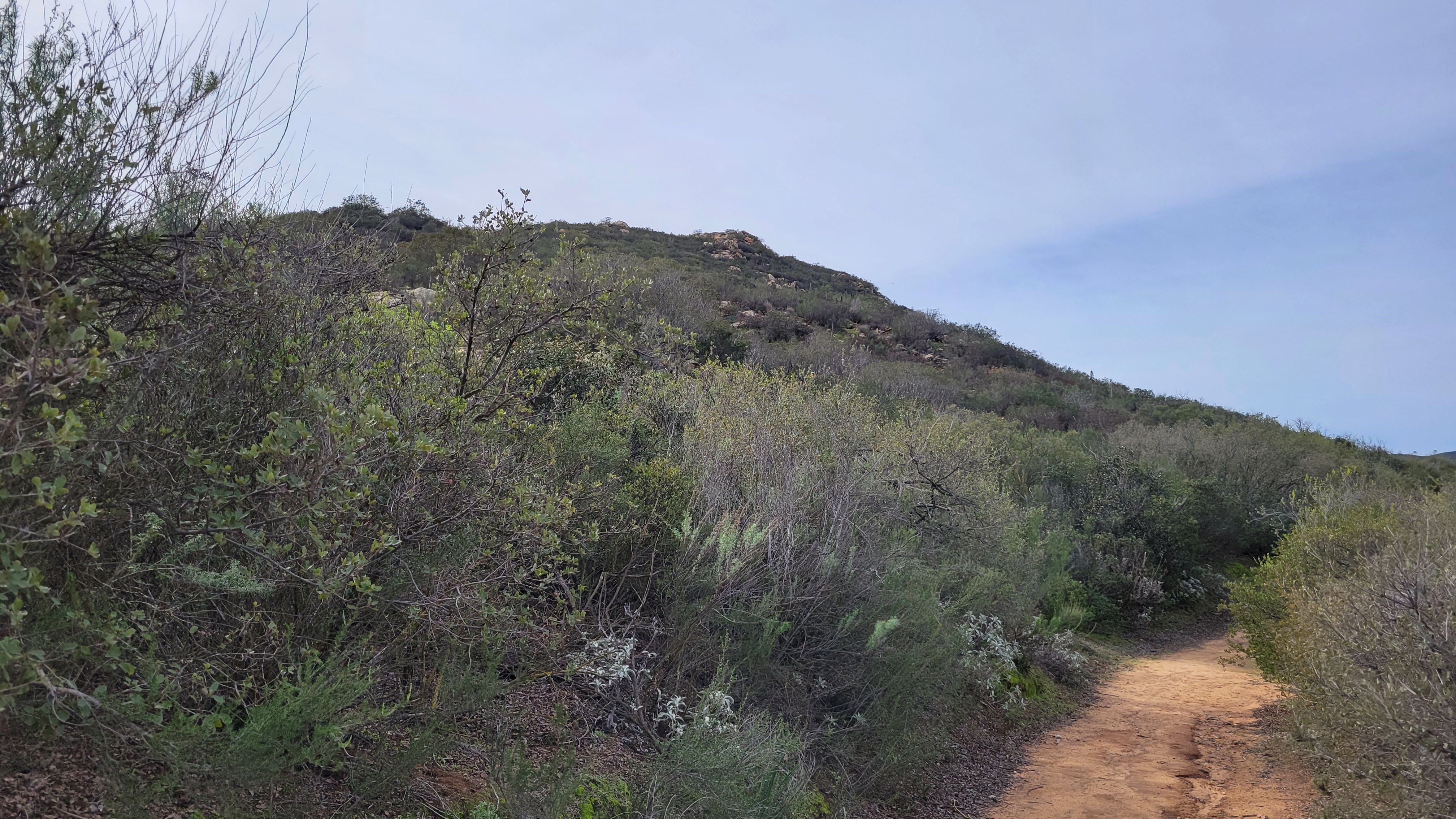
I drove 5 minutes from the Simon County Park trailhead to the start for Stone Mountain. It was a residential street with a horse trail on both sides. The Gunstage Trail circumnavigates Stone Mountain, but to reach the top, find the use trail that starts on the northeast side. I was using Michael Sullivan's GPS Track, but it was obvious from the trail. The use trail was easy to follow and remained clear all the way to the top. It was an easy hike up and I was no longer pushing myself like I was on Spangler. The boulder pile was class 1. I found no marks and no register. Stone Mountain had a wonderful view of Mount Gower.


No comments:
Post a Comment