Distance: 7.5 miles round trip on dirt road and use trail
Summit Elevation: 4548' (Blue Angels)
Elevation Gain: 2155'
Elevation Gain (in Empire State Buildings): 1.7
Round trip time: 4 hours 10 minutes
Recommended water: 40 oz.
Parking/Fees: Free on Smugglers Road
Difficulty: Moderate (scramble)
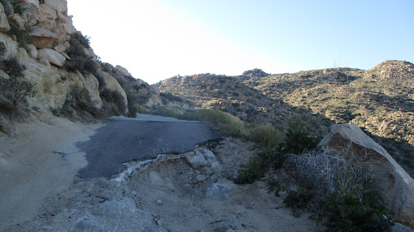
Blue Angels Peak is on the US-Mexico border in the Valley of the Moon. It's a rock filled wonderland in southern San Diego County. I exited I-8 at In-Ko-Pah Road, then parked a short distance up the dirt road to Blue Angels. I would have driven further, but the road was deeply rutted, and while my truck was capable, I was less sure about my driving skills. A maze of dirt roads was etched into the hills. On my way to Blue Angels, I was passed by two Border Patrol trucks. I also saw a spotter plane above. In addition to Blue Angels, I wanted to climb three small benchmarks. My itinerary was:
- Blue Angels Peak (4548', class 2)
- "Blue Cherub" (4325', class 3)
- Whip BM (4318', class 1)
- Nopal BM (4280', class 2)
- Quirk BM (4031', class 2)
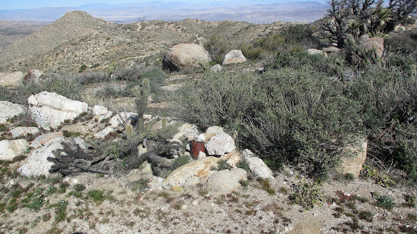
From Whip, I descended back to the road and headed toward Nopal BM. The road ended about a quarter mile below the top. A faded use trail led over some boulders and the summit block was easy class 2. I didn't find a register or benchmark on Nopal, but I didn't spend a lot of time searching. The final benchmark of the day, Quirk, was just off the road at an intersection on the way back. Quirk was a 150' mound that could be ascended from any direction. I didn't bother looking for a trail, I just hit it head on. No benchmark or register, but it did have a solar powered transceiver. I had spotted several of the tall black antennas on various local high points along the roads. These were surely for the Border Patrol. Speaking of which, a third truck rolled up while I was on Quirk. One of the agents got out and walked toward me as I was climbing down. He lost interest before I was half way down and returned to the truck. The roads near the border were well patrolled.


Breaking Bad or...No Country for Old Men
ReplyDeleteYes! That's a better reference.
Delete