Hiked: 6/10/2020
Distance: 0.9 miles round trip on use trail (combined)
Summit Elevation: 5478' (Sugarpine), 5699' (Bailey), 5290' (Monument)
Elevation Gain: 300'
Elevation Gain (in Empire State Buildings): 0.2
Round trip time: 2 hours 10 minutes (includes driving)
Recommended water: 20 oz.
Parking/Fees: Free on Forest Road 2N49
Difficulty: Easy
From the Cajon turnout, I continued driving south on forest road 2N49. High clearance recommended. The first stop was a wide turnout with a jeep trail running up the northwest ridge of Sugarpine Mountain. It was about 0.5 miles round trip to the pedestrian summit of Sugarpine. Views weren't great except for a good view of the higher Bailey Mountain less than a mile away. No register, no benchmark.
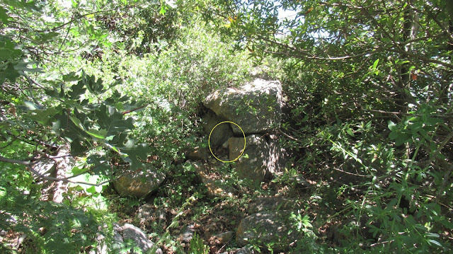
I drove more than mile to the south side of Bailey to go up the steep firebreak. It was about 0.4 miles round trip. The high point was a small boulder under a canopy of trees. There was no trail leading to the high point. I was just wandering around to see if I could get any higher when I stumbled on the register tucked under the boulder. I signed in and trudged back down. No benchmark. No views from the summit.
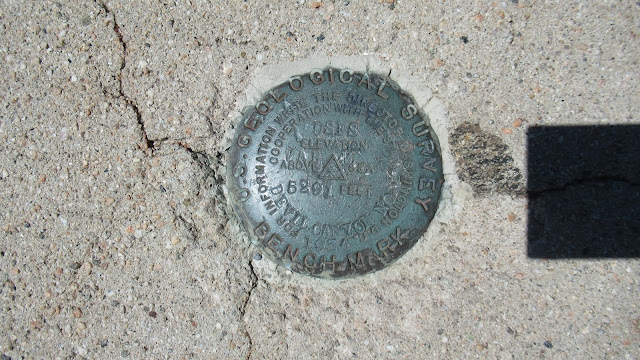
I drove another 1.5 miles to a small turnout by Monument Mountain #2. It was a 100' walk up to the monument. There was a benchmark on top of the monument stamped "Devil Canyon No 3". The plaque on the side of the monument read "The Mojave Indian Trail" in honor of Father Garces. No register. I was planning on driving out toward Jobs Peak, but Mike said the forest service had closed that road. Instead, I drove back the way I came. It took about 90 minutes to get back to highway 138 and the familiar comfort of pavement. Six peaks on the day, 5 HPS peaks, but the truck definitely did most of the work.


Keith, how is 2N49 as compared to 2N47 to Cleghorn Mountain? I drove east to west over this road in an Acura RDX and I definitely had the lowest clearance vehicle on this 'burly' 4WD road! Thankfully, no damage other than a couple thin paint stripes and a couple bumps to the forward air dam. Thanks for the help! Brian Browning
ReplyDeleteBrian,
Delete2N49 was much better than 2N47. Keep in mind we took 2N47 from highway 138 instead of from I-15. Still, there were no serious obstacles on 2N49. Some rocky patches and minor ruts, but not bad. You should be fine in your RDX.
Great to know. And the west side of 2N47 to Cleghorn Mtn is longer and more deeply rutted, less brush though. I was on 3 wheels A LOT! Thanks for the info!
Delete