Distance: 3.5 miles round trip on dirt road and use trail
Summit Elevation: 5360' (Cajon), 5310' (Lookout)
Elevation Gain: 829'
Elevation Gain (in Empire State Buildings): 0.6
Round trip time: 1 hour 45 minutes
Recommended water: 32 oz.
Parking/Fees: Free on Forest Road 2N49
Difficulty: Easy
We drove up Forest Road 2N49 and parked about 1/10 mile below the junction to the road leading to Cajon Mountain. I had that turnout marked as my destination. Mike noticed the error but we decided to walk the extra bit. The road to Cajon was gated and covered in rocks, leaves, and other debris. The first part was shaded, then opened up as it started to climb. We passed the use trail to Cajon and proceeded to Cajon Mountain Lookout where a radio tower had been installed. There were even better views of the San Gabriels than from Cleghorn. We found the benchmark under some ground cover, but it appeared to be stamped "CALO". We then returned and started up the use trail. Half way to the summit, we hit a wall of buckthorn that had completely covered the trail. We pushed through about 50' of it, taking some abuse. Once we cleared the buckthorn, we were on the summit and signed the register. I didn't see any benchmarks on the Cajon high point. The buckthorn had torn Mike's GPS from its carabiner, but we were able to find it on the way back. Because we had to hike Cleghorn, Mike was short on time and decided to head back. We said our goodbyes and I prepped for the next three along the road: Sugarpine, Bailey, and Monument Mountain.


Benchmark on Cajon Lookout
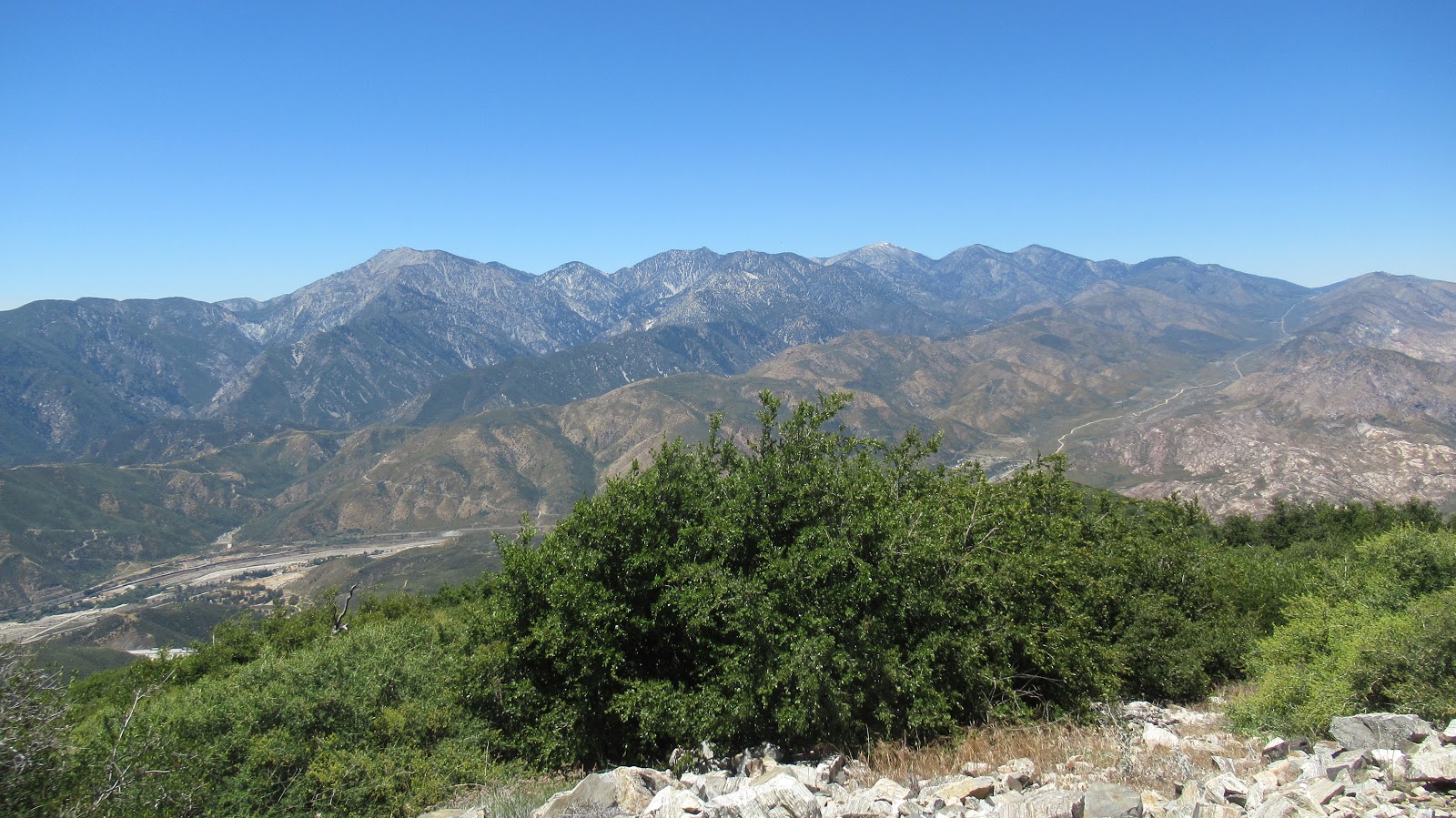
San Gabriels from Cajon Lookout


Mike starting up the use trail to Cajon Mountain

Looking down on the lookout


Didn't know this road to Cajon Lookout was closed now. I drove to the lookout back in 2014 when I first purchased my 4Runner. In fact, I believe that was its maiden voyage off pavement.
ReplyDeleteBoyfester,
DeleteIt was gated when we were there, but it's possible it is open seasonally. I remember a lot of rocks and debris in the road, so maybe it is closed for good.