Distance: 13.5 miles on trail
Summit Elevation: 4510'
Prominence: 610'
Elevation Gain: 4070'
Elevation Gain (in Empire State Buildings): 3.25
Round trip time: 6 hours 10 minutes
Recommended water: 144 oz.
Parking/Fees: Free on Robinson Ranch Road
Difficulty: Strenuous
This was my second visit to Los Pinos Peak in the Santa Ana Mountains. The normal route is relatively short, leaving from Blue Jay Campground. I was aware of the Bell Ridge trail coming down from Los Pinos, but only recently learned from Scott Richardson that the trail went all the way to Rancho Santa Margarita. Thanks! Bell Ridge was a section of the Santa Anas I had not seen. The Bell View Trail starts on Robinson Ranch Road just past Vista Road and runs the entire length of the ridge. You can park on the side of the road for free. The previous weekend, I had done a short scouting hike on the trail up to an unnamed peak at 2537' where an American flag stands on a pole. The task ahead was to tackle the entire ridge.
After a couple of switchbacks, a use trail shortcut near a sign takes off to the right. It merges back with the Bell View trail in a mile or so. I took the shortcut going up and coming down. There was no benchmark at the flag pole summit, but it looks like there used to be some kind of wooden post or sign set in cement. I was looking forward to maybe the best views in the entire range with Trabuco Canyon on one side and Bell Canyon on the other. It was promising based on my scouting mission. But on this day, the cloud cover was low and the entire sky overcast as a low pressure system moved through the area. This made the hike much cooler by blocking the sun, but it also killed views in every direction. I resigned myself to the fate of the weather gods and continued up to a T-junction. The main trail goes left, the right trail goes to a lookout point.
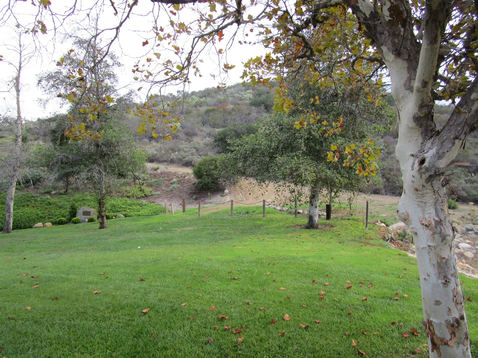
Trailhead

Shortcut trail on the right

Flag pole summit, clouds blocking the view

Rolling ridge

Temporary glimpse of Santiago through the clouds
I thought I would be alone on the ridge all the way, but I caught up with another hiker and his dog a little more than 3 miles from the start. He had come up from Trabuco Road and had no particular destination in mind. Like me, he was drenched from the humidity, wet plants, and sweat. I wished him well and moved on, hitting a long stretch of gain taking me to 3500'. The clouds were still thick and moving north, but once in a while, I got glimpses of the bumps and peaks surrounding me. I got a look at peak 3789 ahead of me and it was impressive. There is a bypass trail that runs around the south side if you don't want to climb it. I took the bypass on the way out and went over it on the way back. I found a fire ring on top with ashes but the summit didn't look big enough to set up camp. As I moved past peak 3789, it started to rain. Lightly, at first, then steadily. I stopped to put on a poncho, not to keep me from getting wet, but to keep my camera and phone from getting wet. It rained for about 30 minutes, increasing the humidity another notch before I put the poncho away.

Peak 3789, the second bump ahead

Starting up Peak 3789

Fire ring on the summit of Peak 3789

Section on the north side of 3789
The next bump took me over 4000' and a little past the top I found the use trail heading down to Yaeger (Caltopo spelling) Mesa. The series of bumps continued along the ridge dropping me well below 4000' before the final push to Los Pinos. It was a relief to hit the Los Pinos ridge, turn right, and walk the short distance to the summit. I did my usual rituals and cursed the clouds for blocking my just rewards. On the way back, the clouds started to burn off just a little. I got a slightly better idea of what the ridge looked like. At around 3460', there was a minor bump with a nice outcrop of boulders just off the trail. I stopped to scramble up and take a few pictures of Trabuco Canyon. The rest of the descent was uneventful. I saw almost no wild life and was not surprised. Most of the animals were taking the day off.

Junction of Bell Ridge trail (right) with Los Pinos summit trail

Los Pinos summit with new, hand crafted sign

Obligatory

Outcrop at bump 3460', easy class 2 scramble

Trabuco Canyon and Holy Jim trailhead area from the outcrop


See also:
Los Pinos from Main Divide
Los Pinos via Los Pinos Ridge
Great hike! From my experience it's either extremely hot on the ridge or cloudy. I know which I prefer.
ReplyDeleteYou mentioned not seeing any wildlife. i spotted lion tracks just past the flagpole a year or two ago, and more tracks up by the rocky outcrop overlooking holy jims. I also have seen bobcat tracks near Los pinos peak. I think the 3 creeks trabuco/bell/hot springs harbor a good population of critters.
There was that lion sighting on the San Juan trail a few days ago :0 makes me think back to all the time I spent obliviously looking for my camera on the deer trails of pk 2040, maybe that feeling of being watched was more than a feeling.
Scott,
DeleteLions in the Santa Ana area seem to be more aggressive with humans than other local ranges. The two fatal attacks were in Whiting Ranch, connected to the Santa Anas, and another lion was stalking a family there a couple of years back. Then, we had the recent incident on San Juan Trail, and I had a strong feeling there was one in Harding Canyon with me a couple of months ago. I was looking for prints yesterday but only saw canine prints. The rain may have washed them away. It's in the back of my mind when I'm wandering alone.
That's a luxurious trailhead. Bummer on the views, but I'll personally take cool temps over views. My kinda weather. But then again, I'm a big heat boob.
ReplyDeleteMadison,
DeleteThe trail starts in this greenbelt/park area at the north end of an upscale subdivision. No facilities, but a nice, safe place to park. I should probably appreciate weather like this in SoCal since it is rare, but I'd rather see the mountains.
Wish there were clouds when I did it... It was so hot I had to find shade under chaparral brush to cool down a few times. Also ran into rattle snakes!
ReplyDeleteHarro There,
DeleteYeah, July is a rough month to do that ridge. Good job completing it in the summer.
Did this hike yesterday and followed your track. One thing I found was that past the 4000 ft bump, the trail disappears in many places and a fair amount of bushwhacking was involved, so I just stayed on the ridge which too me to the top. But it was a clear day, so the views were incredible -- from snow on Greyback and could see San Clemente island as well.
ReplyDeleteNobody had signed the register at the top all year from what I could see. I guess the closure of the main divide road stopped people from going to this peak which in a weird schadenfreude made it feel all the more rewarding. Thanks for the write up.
Joe,
DeleteCool hike. I don't remember much brush along the firebreak but it might have grown up after the wet winter last year. Thanks for the updated conditions.