Wednesday, May 1, 2024

Iron Mountain #1

HPS Star Emblem Peak
Hiked: 4/29/2024 (x4)
Distance: 13.8 miles round trip on trail
Summit Elevation: 8007'
Elevation Gain: 7031'
Elevation Gain (in Empire State Buildings): 5.6
Round trip time: 10 hours 26 minutes
Recommended water: 188 oz.
Parking/Fees: Adventure Pass at Heaton Flat Trailhead
Difficulty: Very Strenuous

Sean Cucamonga and I planned to tackle the wild southwest ridge of Big Iron. A couple of weeks ago, we set out for Allison Mine on the abandoned trail from Allison Saddle to cache water. Unfortunately, we ran out of time about half way to the mine on the abandoned trail. We left 3.5 liters near the start of the Allison trail. Sean was sidelined with a back issue, but I wanted to make use of that water. My last visit to Iron was six years ago. The last time I took the trail was 2012. I read my original report and almost everything still applies. I've added more photos and details in this report. A quick note: there is no cell access from anywhere, including the parking lot and summit.

I started at 6:30 AM with only a few other cars in the lot. I didn't see anyother soul the entire day. The trail to Allison Saddle was a little overgrown with plants intruding on the trail. There were also a few small washouts and the old Sheep Wilderness sign had fallen down. About 3 miles in, you reach the start of the roller-coaster ridge. There were four bumps and the trail went directly over the top of each, then switchbacked down to Allison Saddle. These bumps added extra gain on the way back to push the total over 7000'. When I hit the saddle, I retrieved two liters of cached water, leaving the rest for the return trip. The character of the hike changed after this point since the rest of the trail is not officially maintained. From Allison Saddle, the trail gained about 3400' in 2.4 miles. My best calculations suggest this hike burns 3751 calories. I took a short break every hour to ingest some calories and stay energized.
En garde!


Big Iron

Roller-coaster ridge to Allison Saddle

Steep trail past Allison Saddle

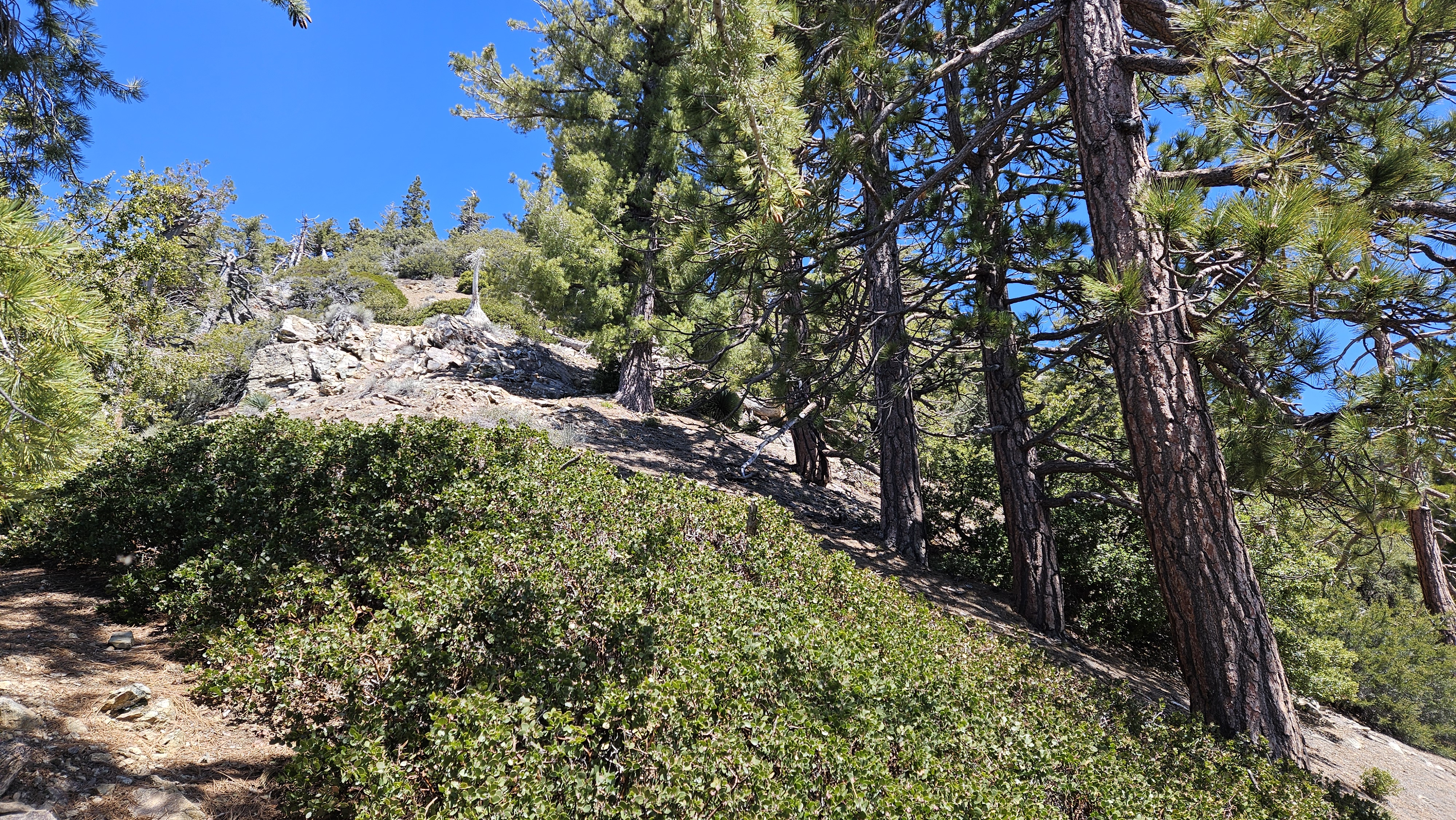
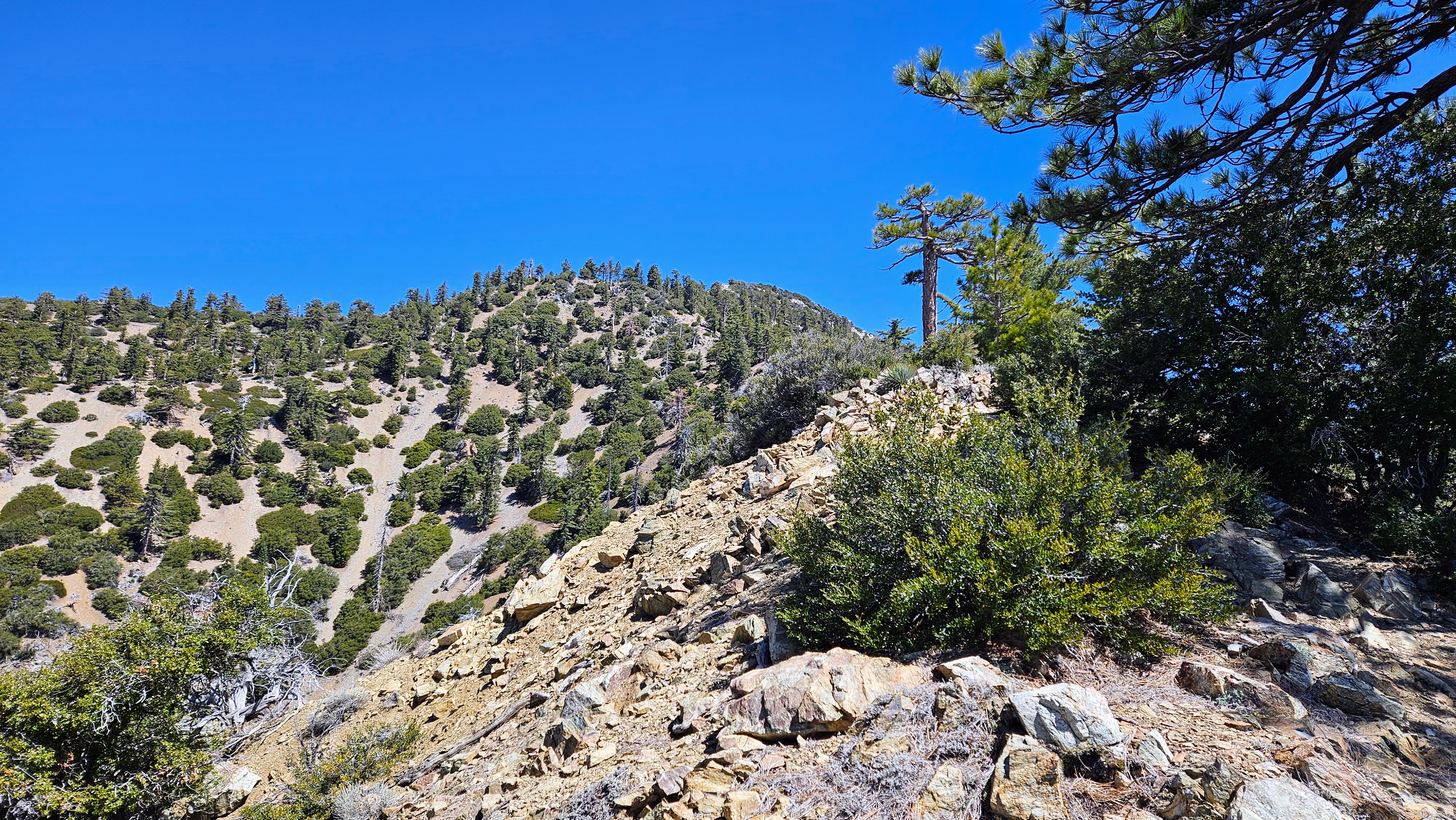
The first slope beyond the saddle is one of the worst. Loose ramps of dirt and scree at up to 45 degree angles. Vegetation and small trees were useful as aid to getting up some parts. There were two more sections of the unmaintained trail that were similarly painful. After the initial shock, the ridge levels out for a while, then drops to connect with the next uphill challenge. A couple of times, I questioned why I was doing this for fun. It all made sense at the top. Around 6500' in elevation, the terrain opened up with large pines and an alpine feel. In stark contrast to the first half, the upper part of Iron Mountain was quite beautiful. Views got bigger while the uphill grind stayed relentless. I passed a couple of small snow patches that refused to melt. Just before the summit, there was a unique gray granite section. The rocks led like a red carpet to the summit.

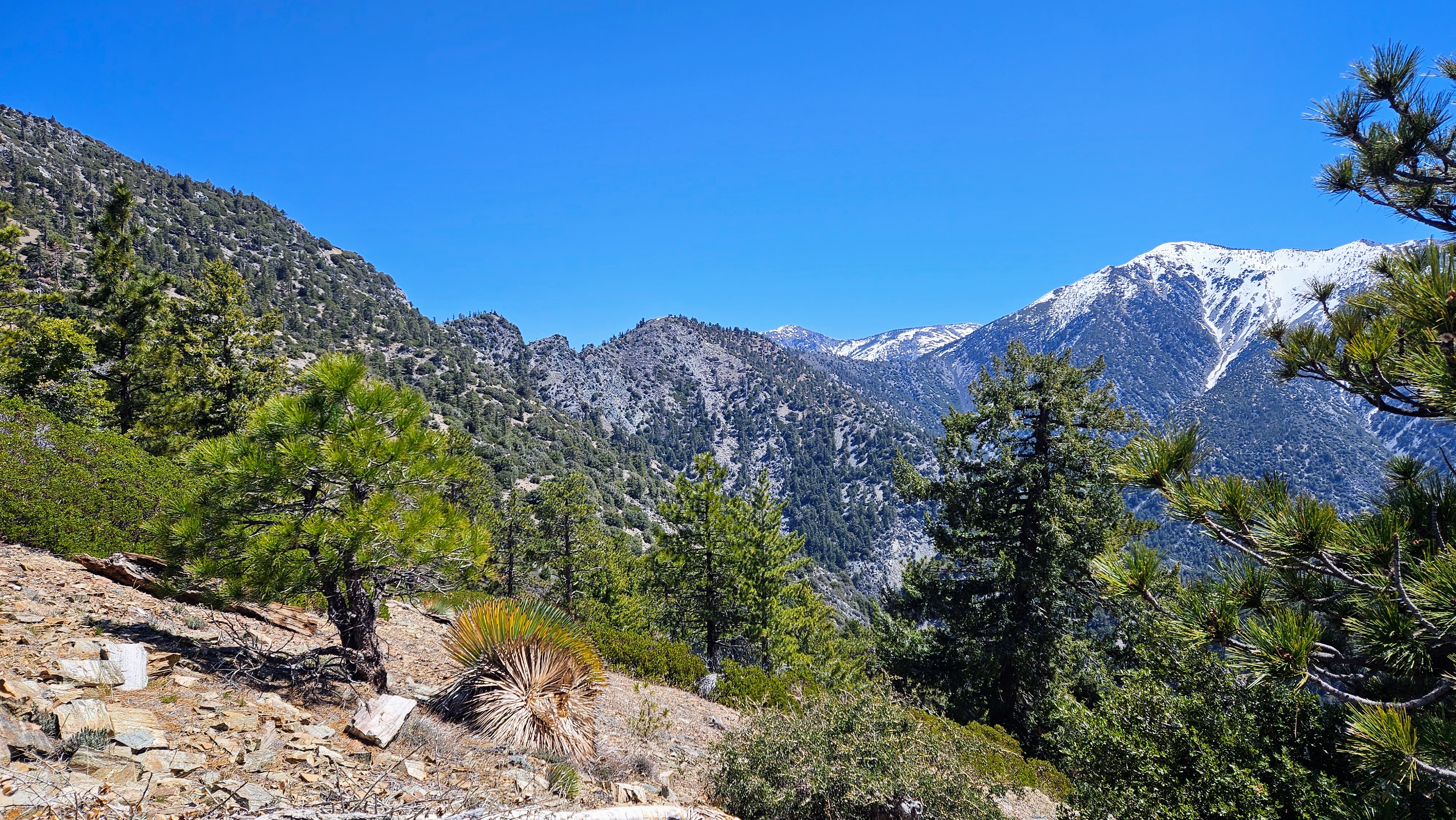
Gunsight notch on the San Antonio ridge


Upper Iron with large pines

Lingering snow

Gray rocks just before the summit

It was a relief to spot the W15 witness post. At times, it's been down, but looked solid in the summit cairn. The register in the ammo box was a couple of years old and nearly full. I found an open spot to sign and looked through recent entries. Also in the box were a red sign designed for social media shots and a small stuffed toy. Some of the stuff looked more typical of a geocache. After photos, I took a short break on the summit to take in the views. I made a point to move deliberately on the way down. The steep dirt and scree were slippery in spots. I picked up the remaining water at Allison Saddle and worked back over the roller-coaster ridge. The final couple of miles always seem to drag. It was warm, but not hot, by the time I got off the trail. I drank less water on this trip than the first time due to cooler weather.

I was quite pleased to summit at age 60 (#iron-over-60-club), only 8 minutes slower than my first time 12 years ago. 7000' of gain is always 7000' gain. It never lies to you. I haven't completely given up on the southwest ridge, but I'll need to find the other abandoned trail from Allison Gulch to the mine. Iron is always a great trainer.
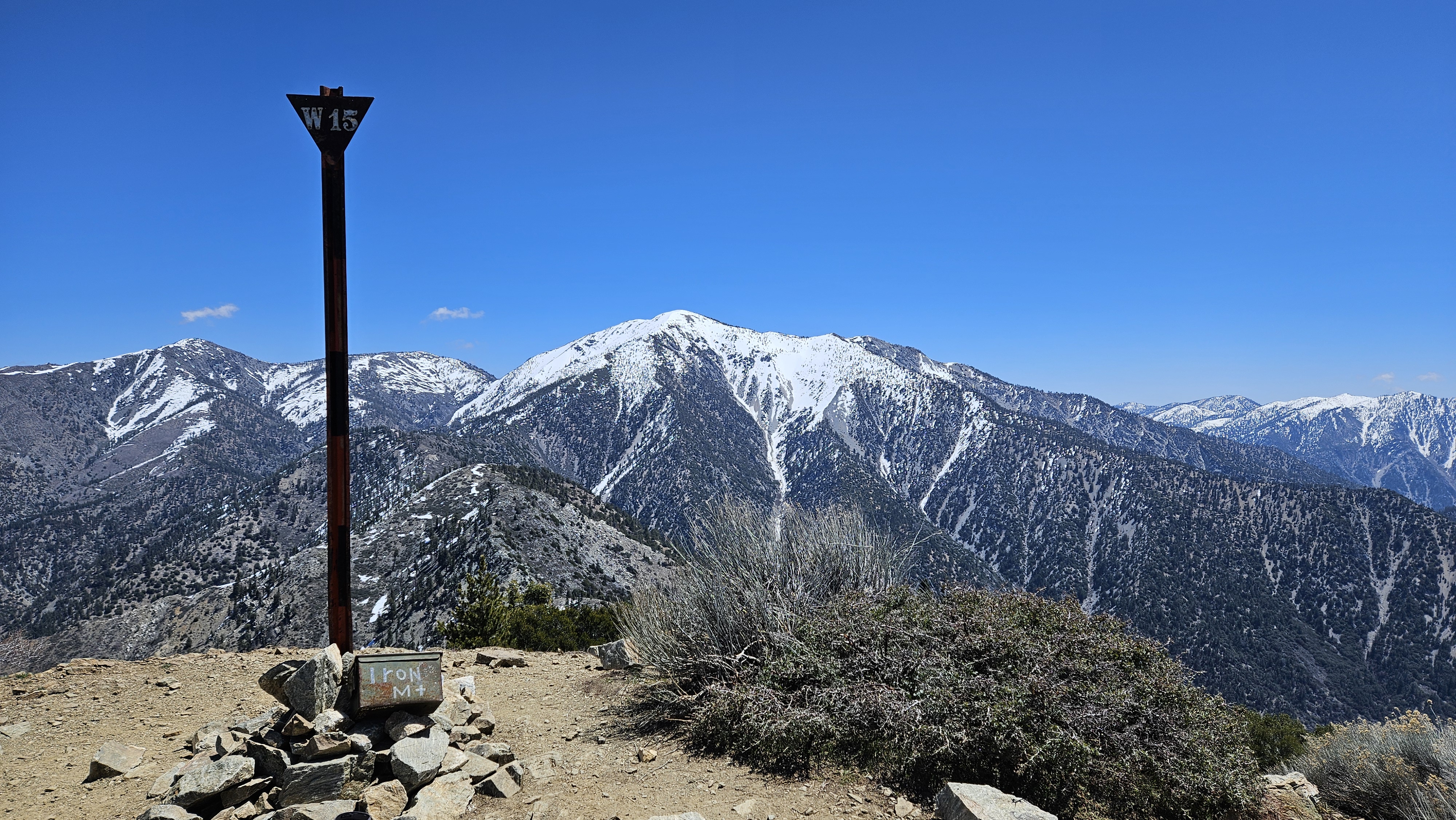

Baden-Powell

Rattlesnake Peak (left of center), South Mount Hawkins (right)


Dropping back to Allison Saddle


See also:
Iron Mountain #1 (2012)
Iron Mountain #1 via San Antonio Ridge
Iron Mountain #1 via Gold Dollar Mine
Estimated energy to hike Iron Mountain #1

Sunday, April 21, 2024

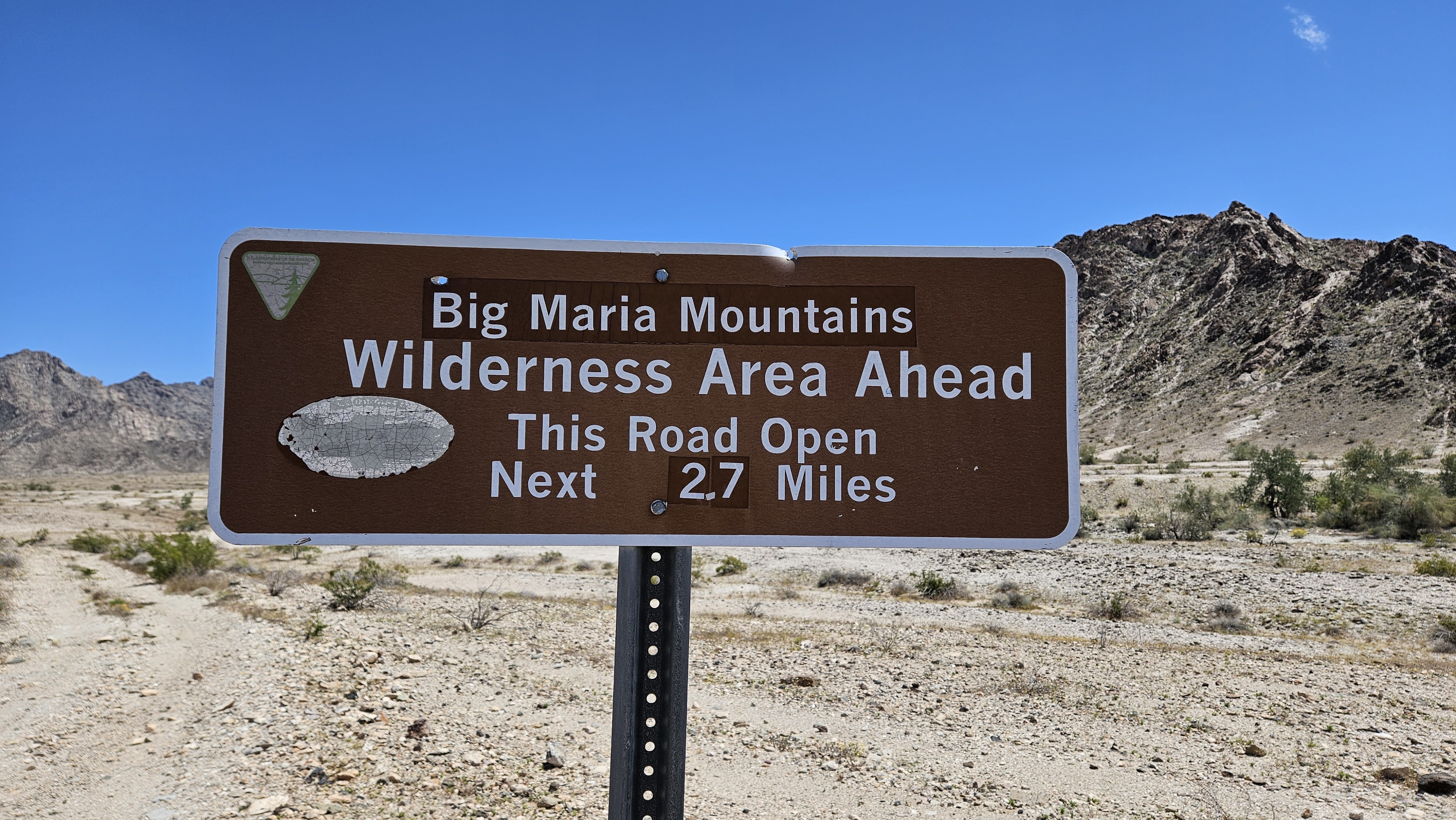
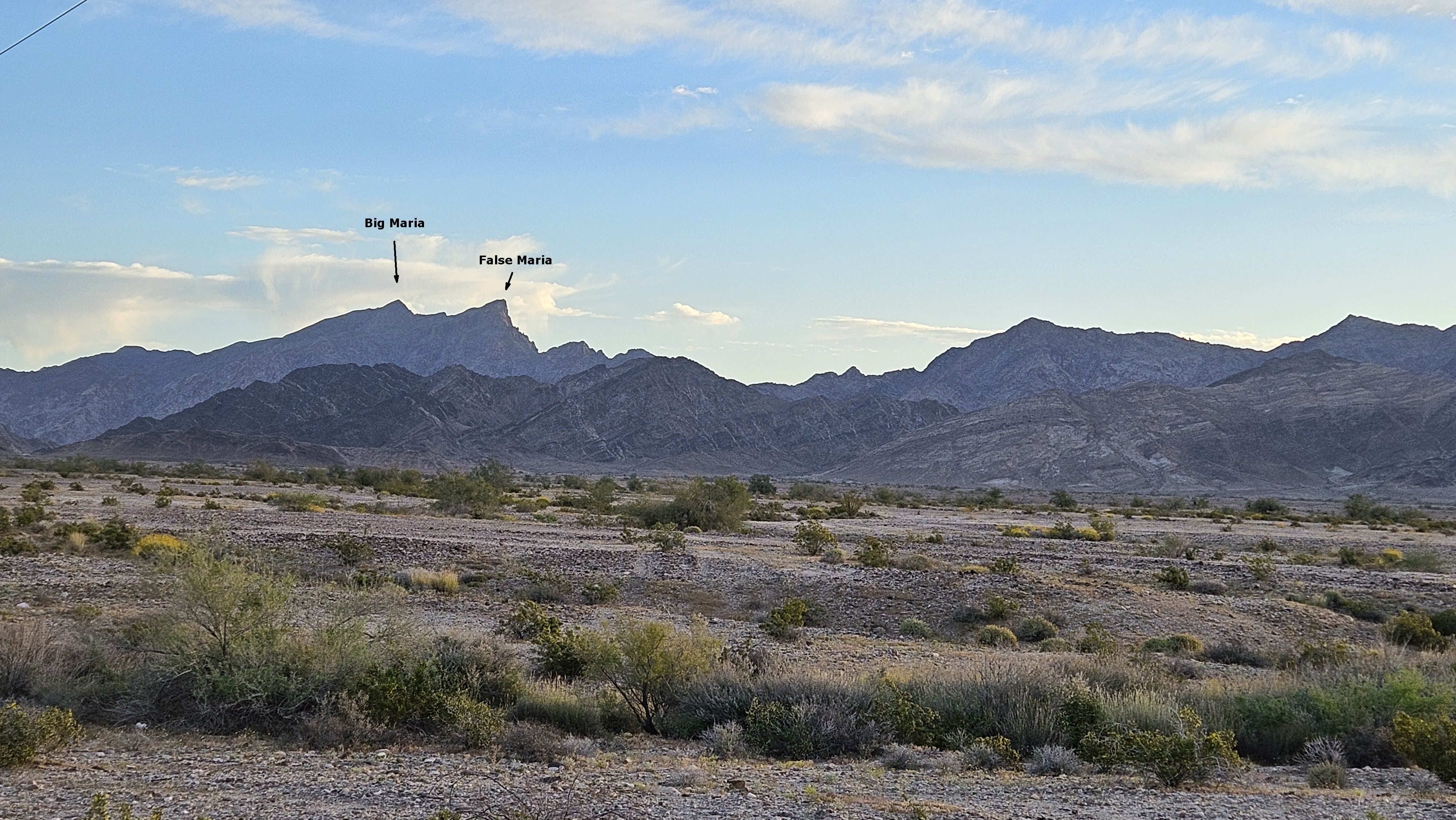
Big Maria and False Maria

Hiked: 4/19/2024
Distance: 6.3 miles round trip on dirt road and cross country
Summit Elevation: 3381' (Big), 3380' (False)
Elevation Gain: 2809'
Elevation Gain (in Empire State Buildings): 2.2
Round trip time: 6 hours 10 minutes
Recommended water: 112 oz.
Parking/Fees: Free on Midland-Vidal Road
Difficulty: Strenuous

Day two of my Blythe area trip was dedicated to Big Maria (DPS #92) and False Maria, the two highest points in the Big Maria Mountains. False Maria is one foot lower than Big Maria. I followed the DPS driving directions, going north on Midland-Vidal Road. The road requires high clearance and I recommend 4x4 to deal with wash crossings. The road was really rough near the end and I parked at a convenient turn around spot about 0.2 miles from the official starting point. The approach was over rocky open desert to the major drainage. The lower part was boulder clogged, but at least it was solid granite. While some might be loose, at least the rock would not crumble under you. The DPS guide classifies it as class 1, but I had to use my hands often to get over and around stuff. Side gullies came in from all sides and some were tempting as I could see clear lines to blue sky. However, most didn't lead to advantageous spots on the ridge. The middle part of the drainage was more open and I made better time.


Open middle section of the gully

Nearing the top of a side gully, off route, but it seems better than the official route

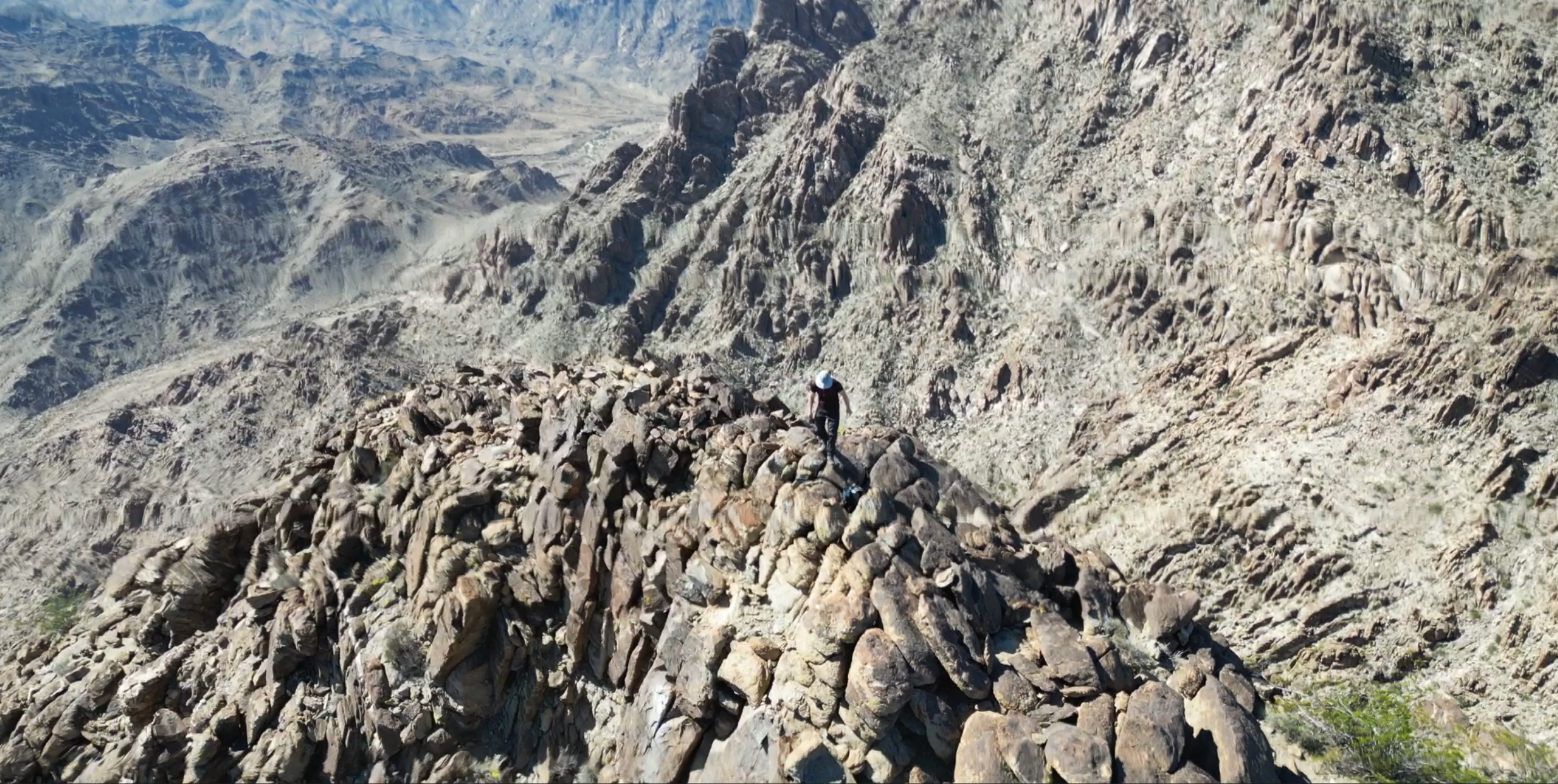
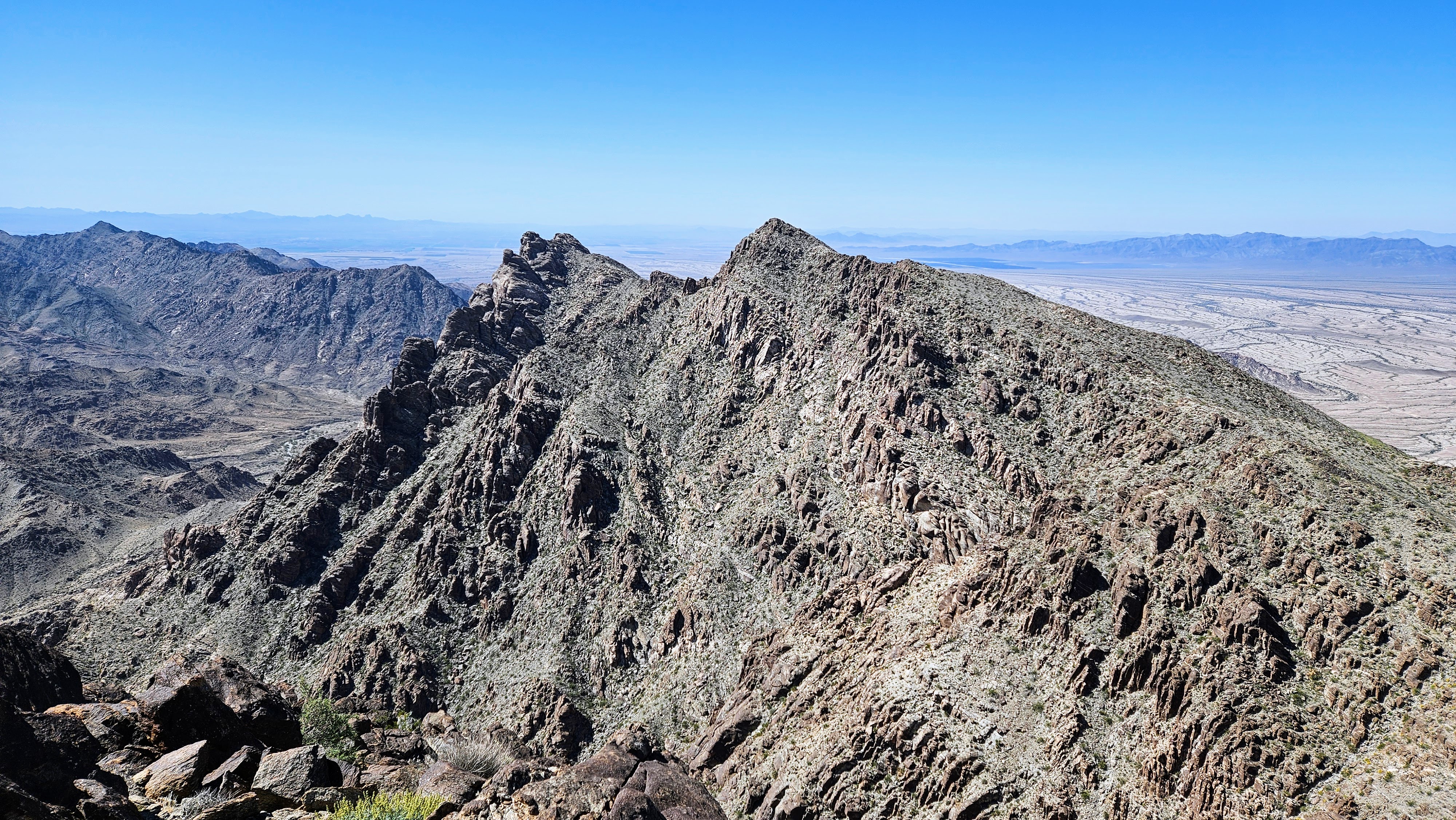
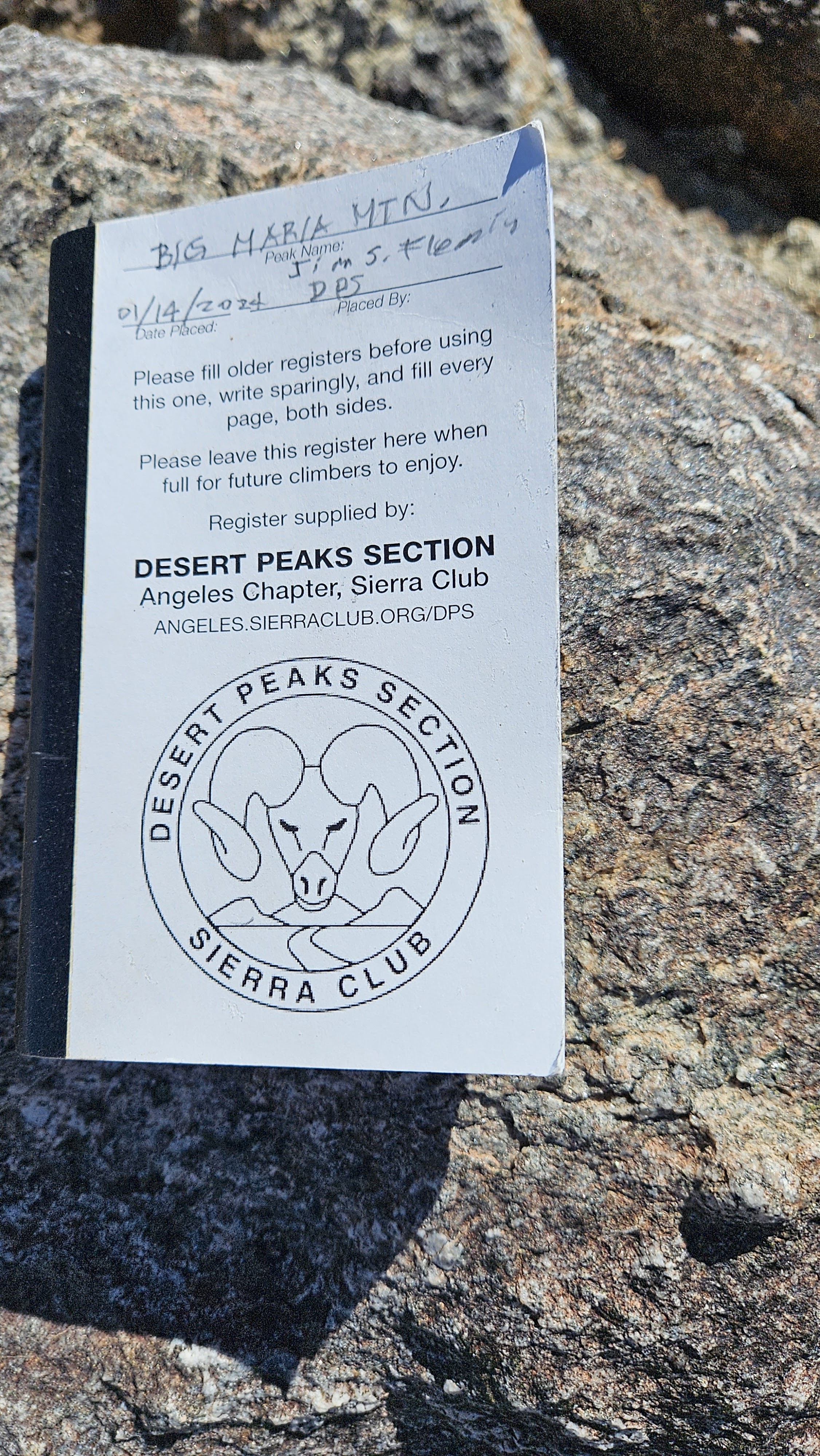
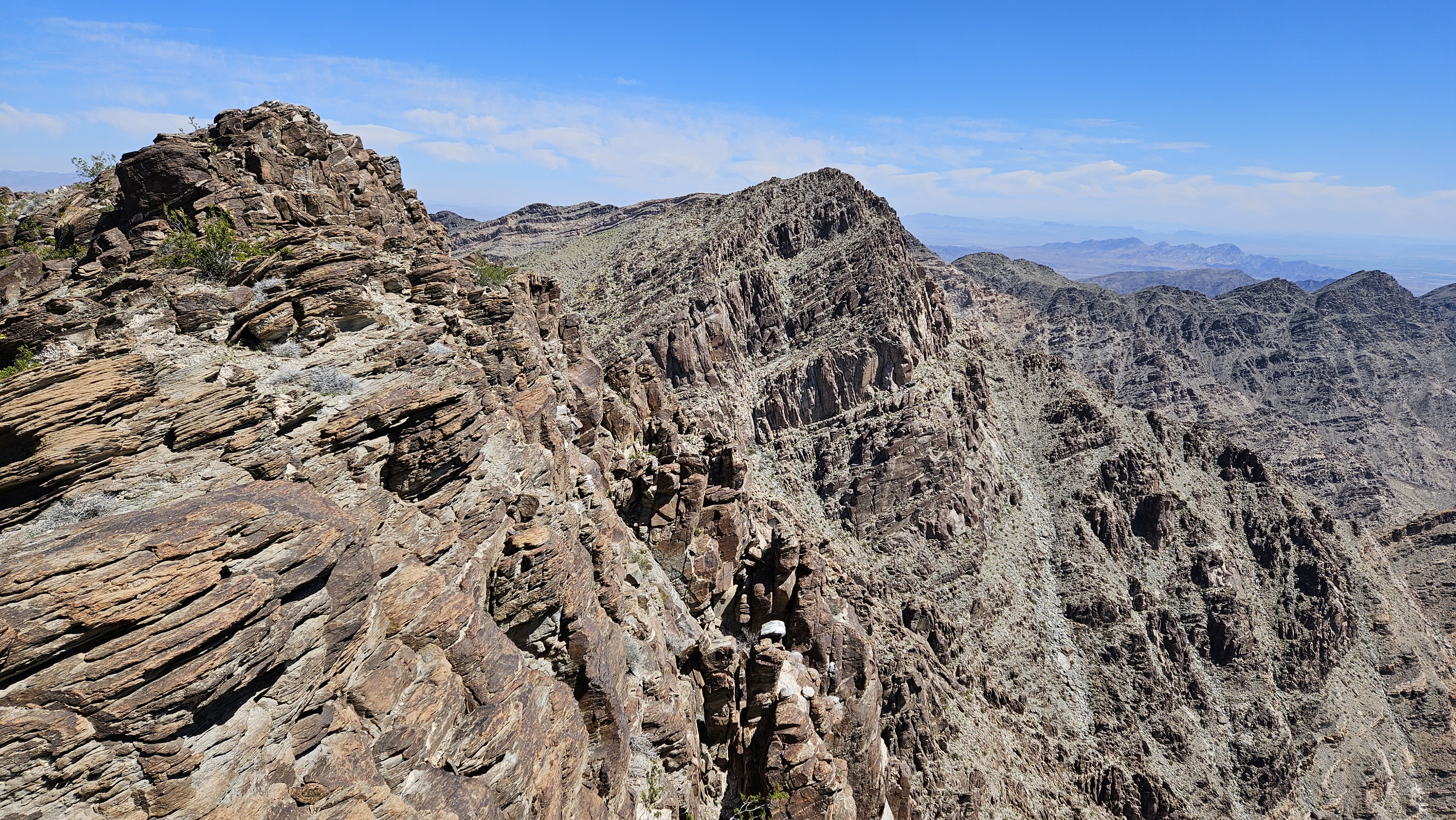
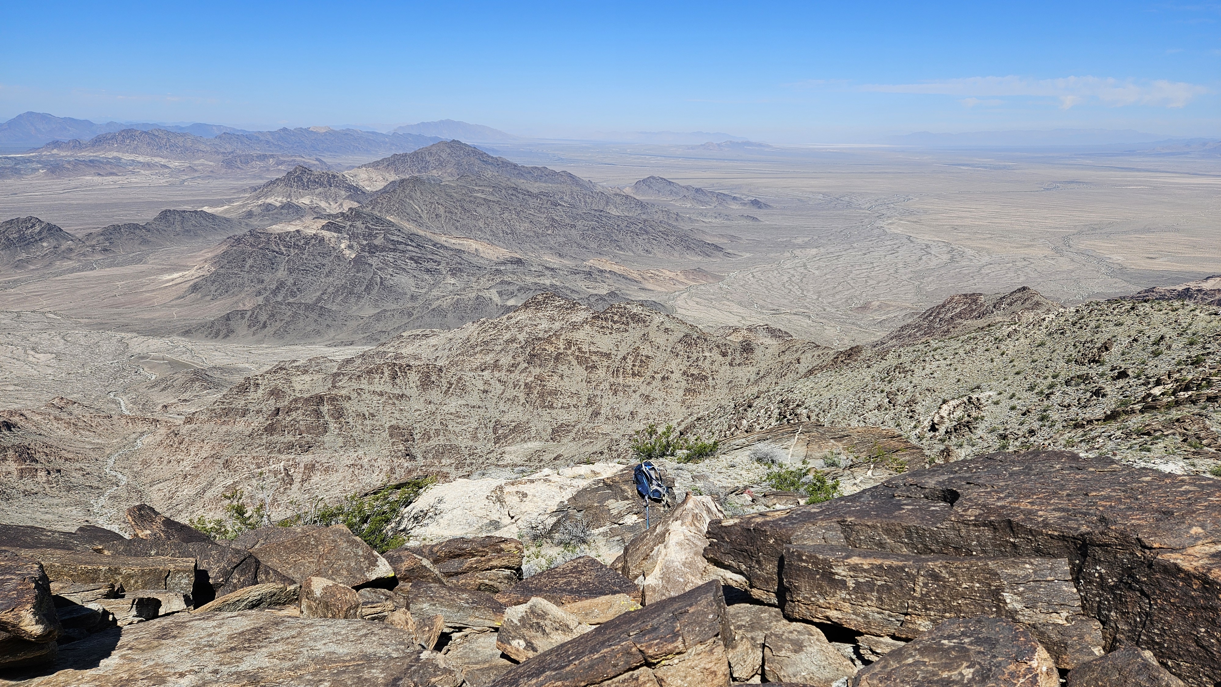
The crux was the upper drainage which got very steep with loose dirt and fewer rocks for aid. I was nearly to the top when I realized the route was in the gully left of me. I didn't want to descent three hundred feet to get back on route so I hoped I could find a way to the main ridge. When I hit the top, I could see Big Maria and the connecting ridge. I was able to side hill safely around the top of the bump to reach the ridge. It had worked out nicely. The ridge was a welcome change and mostly easy desert. The climb to the saddle between Big and False was a little over a half mile, filled with minor bumps. Some could be skirted, some had to be climbed over. When I got to the saddle, neither summit was visible. I rested and refueled there. After crossing a small rise, Big Maria came into view, looking more massive than it appeared in photos. Twenty minutes later, I was on the summit with expansive views of the desert and distant farmland. The summit had been without a register for years, but a gray plastic box held a new DPS register from January, 2024. I was the third entry in the book. I had packed the drone and flew it briefly, but the video was wobbly due a problem with the gimbal. I was able to salvage a few stills, but it will need to be repaired.

Bumps along the ridge

Approaching Big Maria


Looking over at False Maria


It was close to 10:30 AM and despite the rising heat, False Maria seemed too close to let go. I set out at a determined pace and made it to the top of False Maria in good time. I signed the much older and fragile register there dating back to the late 1990s. I headed back and took the main route down. This involved going over the major bump to reach the descent gully. It was very steep at the top and I had better luck sticking close to the right wall where I could get some assistance. I was less concerned with route finding on the way down, taking class 3 options if they saved time. I didn't descend the gully I came up, but it seemed better and more direct than the main route. It also avoided having to go over the big bump before the ridge. I would use my ascent path both ways if I came back. The boulder free middle section had long granite slabs that sounded hollow under my pole. It's the sound of decaying rock you don't want to hear when rock climbing, though not a safety issue in this instance. I took one break in a rare shady spot on the way down. The rocks were getting warm to the touch over the last mile. Big Maria was immensely satisfying and hit the sweet spot for duration and difficulty.


Big Maria on the way to False Maria

False Maria summit


Descending the main route gully, I think my ascent route was better


Black Rock

Hiked: 4/18/2024
Distance: 0.2 miles round trip on dirt road
Summit Elevation: 509'
Elevation Gain: 70'
Elevation Gain (in Empire State Buildings): 0
Round trip time: 10 minutes
Recommended water: 0 oz.
Parking/Fees: Free on Black Rock Road
Difficulty: Easy

I had an hour to kill before I could check in at my hotel in Blythe. I found an easy PB peak just off I-10 that could fill the hour, counting drive time. I drove to the north side on Black Rock Road, a dirt road in good shape. I did a U-turn and parked on the side of the wide road. A rough jeep trail ran up the north side. It took about 10 minutes to visit the top and get back down. There was a rough fireplace on the summit and a white cross down the slope to make it more visible from I-10.


Saturday, April 20, 2024

Palo Verde Peak (attempt)

Hiked: 4/18/2024
Distance: 4.7 miles round trip on dirt road and cross country
Summit Elevation: 1760'
Elevation Gain: 1050'
Elevation Gain (in Empire State Buildings): 0.8
Round trip time: 4 hours
Recommended water: 64 oz.
Parking/Fees: Free on Old Palo Verde Road
Difficulty: Moderate (route finding, exposure)

Day one of an overnight in the Eastern Mojave centered in the Blythe area. My original day one goal was Stepladder, a 12-miler, but at the last minute I decided it would take too long in blistering afternoon heat. Looking for a shorter climb in the area, I stumbled on Palo Verde Peak. It wasn't on any list, but several well known hikers wrote glowing reviews. Access to the peak is on Old Palo Verde Road (or a much longer route from Highway 78). The road had big rocks, loose sand and gravel. 4x4 recommended. I drove in from the north side, stopping about a mile from the closest point due to boulders. As I approached the west side of Palo Verde, it looked technical. The reports I read talked about a gully scramble and a knife-edge section near the top. The main gully from the west ended at a cliff wall. Half way up, I stepped directly over a juvenile rattlesnake. Rattling started only after I walked over it. It's possible we surprised each other. In any case, I was lucky I didn't step directly on it. It coiled defensively and hid under a bush. The rest of the way, I was hyper-focused on the ground and where I put my hands. The upper gully was a loose mess of talus and gravel. Even large rocks gave way. I carefully exited the gully, then traversed left to reach a jagged saddle. I found a class 3 chute to drop in 40' below the saddle, making sure I could reverse the move. I couldn't initially see the continuation on the other side, but followed a couple of cairns to discover a ledge system. The next obstacle was a class 5 spine that could be bypassed by hugging the right side below the spine, then up a steep gully. Finally, I sat above a knife-edge strip of ridge with the summit just beyond. When facing a risky section, your mind automatically does the calculus. Skill, difficulty, holds, quality of rock, consequences, being solo. My mind ran the calculation several times, after factoring in the awful rock, I came up with a 97% chance of success. However, the consequences were high: a 40' fall on the left side, and a 400' fall on the right. I could clearly see how to proceed, but I didn't. I knew no one cared whether I climbed this peak of not. What mattered was balancing the risk with how much I cared. Not enough. I waved goodbye to the summit and started the slow backtrack and descent. My snake friend was not where I left her which was good news for both of us. When I got back to the road, I ambled back to the truck with temps inching toward 90F. The next day, I thought about how much mental energy I spent route finding, the close encounter with the rattlesnake, solving the gully crossing, the hidden continuation, and the spine bypass. If I went back, my only mental hurdle would be the knife-edge, probably increasing my odds to 99%. Maybe if I'm back in the area. Maybe.

Palo Verde from the north


Stepped directly over this speckled, look how well the coloration matches the rocks


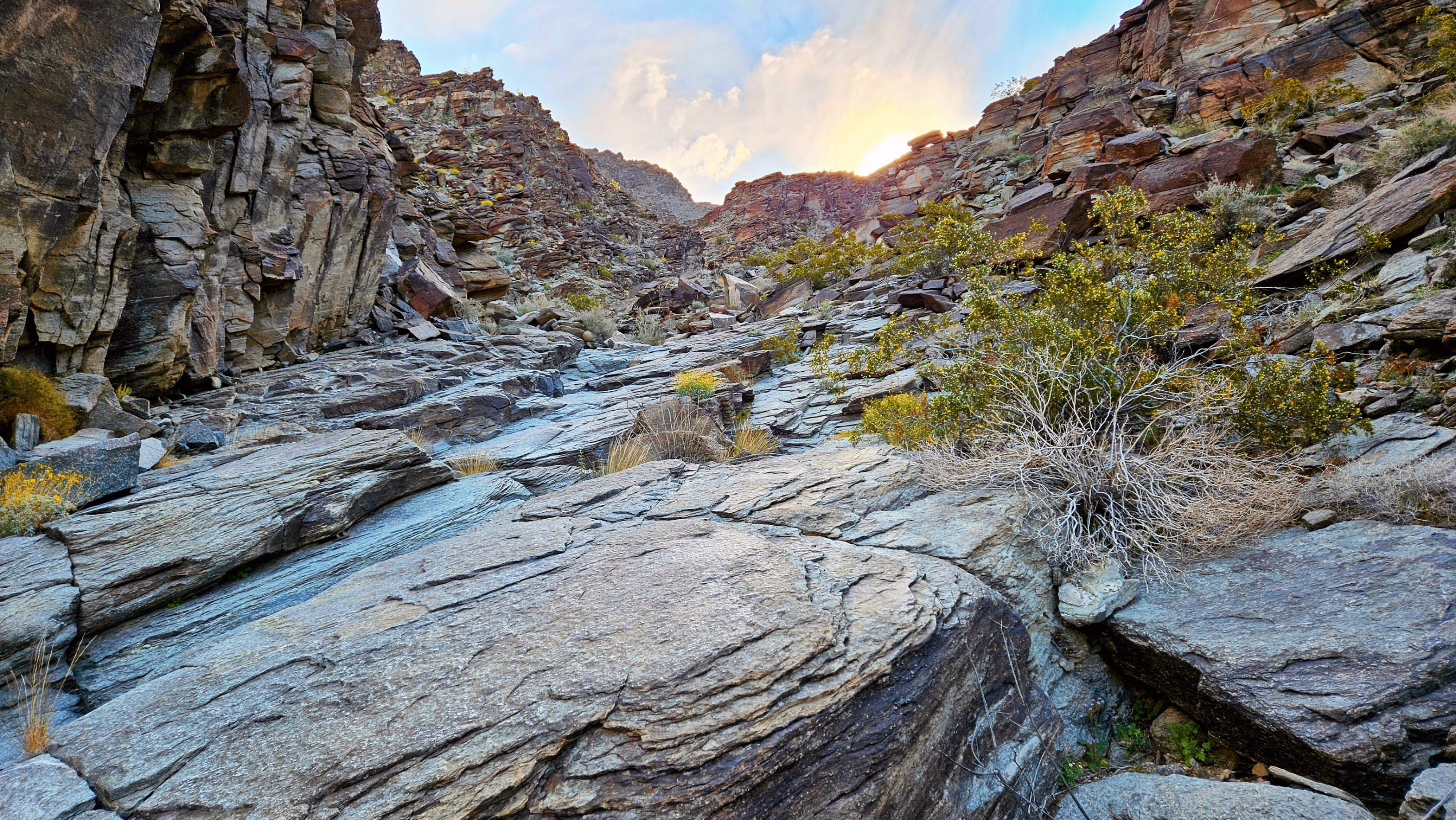
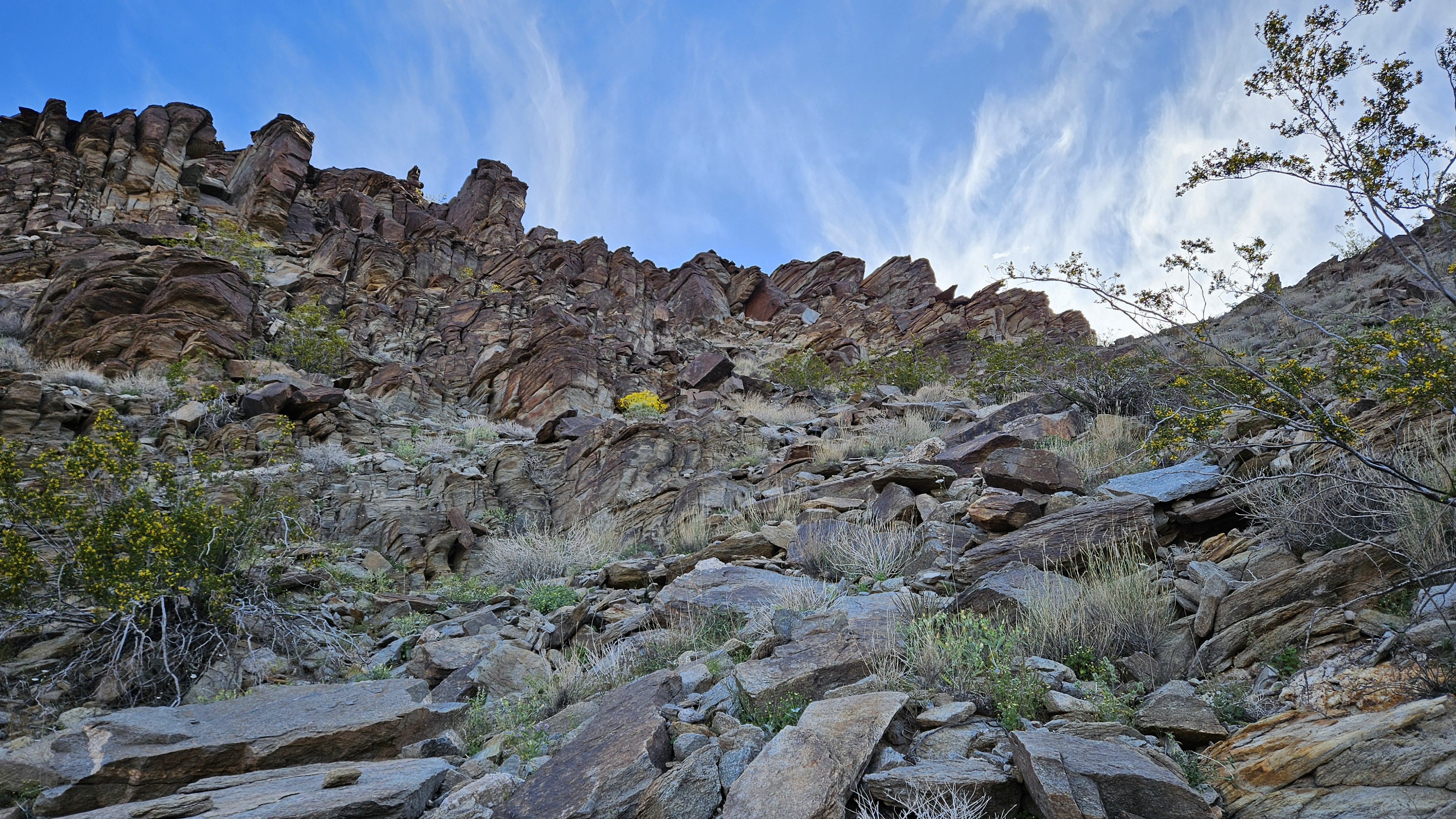
Crappy, loose rock near the top of this gully

Found a class 3 chute to reach the other side of the notch

Looking back at the gully crossing

Bypass on the right side hugging the wall

The knife-edge, but this shot doesn't show the narrow beginning

Summit in view on the other side