Distance: 5 miles round trip on trail
Summit Elevation: 8291' (Noroestre), 8593' (Grouse)
Elevation Gain: 1650'
Elevation Gain (in Empire State Buildings): 1.3
Round trip time: 2 hours 15 minutes
Recommended water: 32 oz.
Parking/Fees: Free on Cerro Noroestre Road
Difficulty: Easy
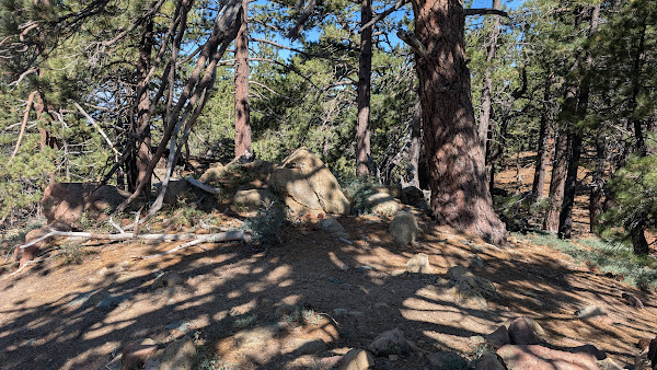
Continuing east on Cuddy Valley Road, I took the paved Cerro Noroestre (HPS #61) Road and parked just outside the Campo Alto campground. Then, it was a about a 300' walk to a small rise in the forest that was the high point. No register or marks. I dropped down the south slope to catch the single track Mount Pinos trail to Grouse Mountain (HPS #45). The trail was in great shape and descended about 600' to a saddle between Cerro Noroestre and Grouse. I couldn't see the summit of Grouse along the trail since it wasn't on the visible part of the ridge. It was a pleasant walk up through pine forests before intersecting the trail running to Sawmill. A side trail continued up to the Grouse summit, which was just the highest point on the trail as far as I could tell. A couple of small boulder piles made up the summit. No register or marks that I could find. This was another summit with no open views due to large surrounding trees. I took a longer break on Grouse after completing the fourth peak of the day. It was about 11 AM and I had time to press on before facing the soul crusing traffic back through LA. Next up was San Emigdio.


No comments:
Post a Comment