Distance: 1.7 miles round trip on use trail and cross country
Summit Elevation: 7293' (Akawie)
Elevation Gain: 550'
Elevation Gain (in Empire State Buildings): 0.4
Round trip time: 1 hour
Recommended water: 16 oz.
Parking/Fees: Free on Angeles Crest Highway
Difficulty: Easy
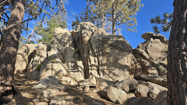
I took a trip along the ACH to pick up some easy HPS peaks. I wanted to get some of the higher ones in Spring, but a large section of the ACH was still under repair from the previous winter. I still could not drive to Mt. Lewis, but I could get to Akawie (HPS #106) from the west side. The starting point for Akawie was a nondescript turnout on the north side of the ACH. Google maps directions were accurate. I started along an abandoned dirt road that ended at a gully. I continued up in the direction of Akawie, though I could not see much through the tall pines. I stumbled on a use trail and followed it a short distance to the summit. The summit rocks were class 1. A green can held the HPS register. I found circular indent where the benchmark had been placed, but someone had removed it. Views were poor due to the trees. I could see Mount Waterman, but that was about it. I made a short detour on the way back to get P7160. On approach, I thought it might have be an interesting summit block, but it also turned out to be class 1. No marks or register. I was back to the truck in less than an hour. Awakie had just enough prominence to be considered a separate peak (>300'), but it's weak sauce. Next on the agenda was Mount Vetter.


No comments:
Post a Comment