Distance: 2.8 miles round trip on dirt road and cross country
Summit Elevation: 8336'
Elevation Gain: 935'
Elevation Gain (in Empire State Buildings): 0.7
Round trip time: 1 hours 40 minutes
Recommended water: 24 oz.
Parking/Fees: Free on Forest Road 3N07
Difficulty: Easy
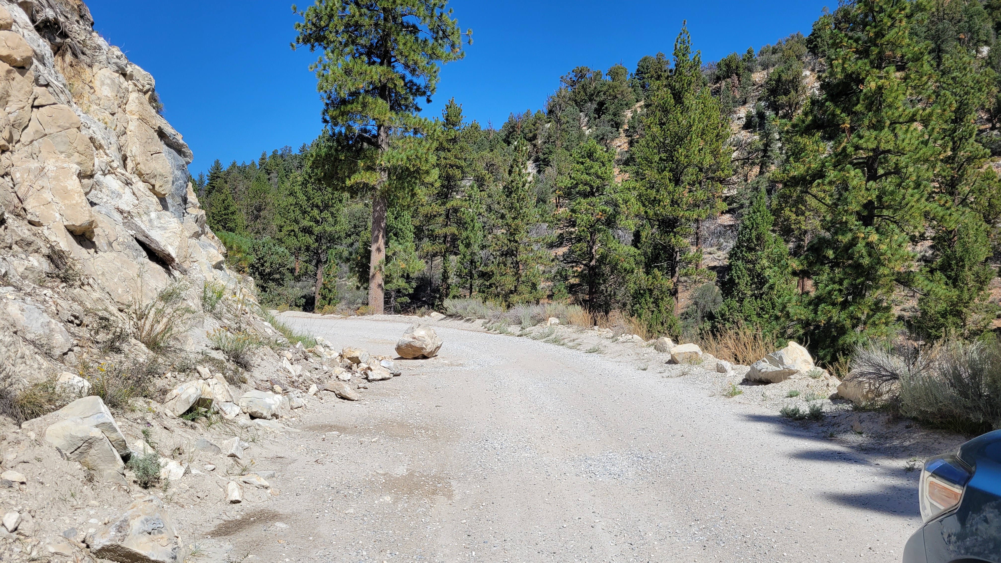
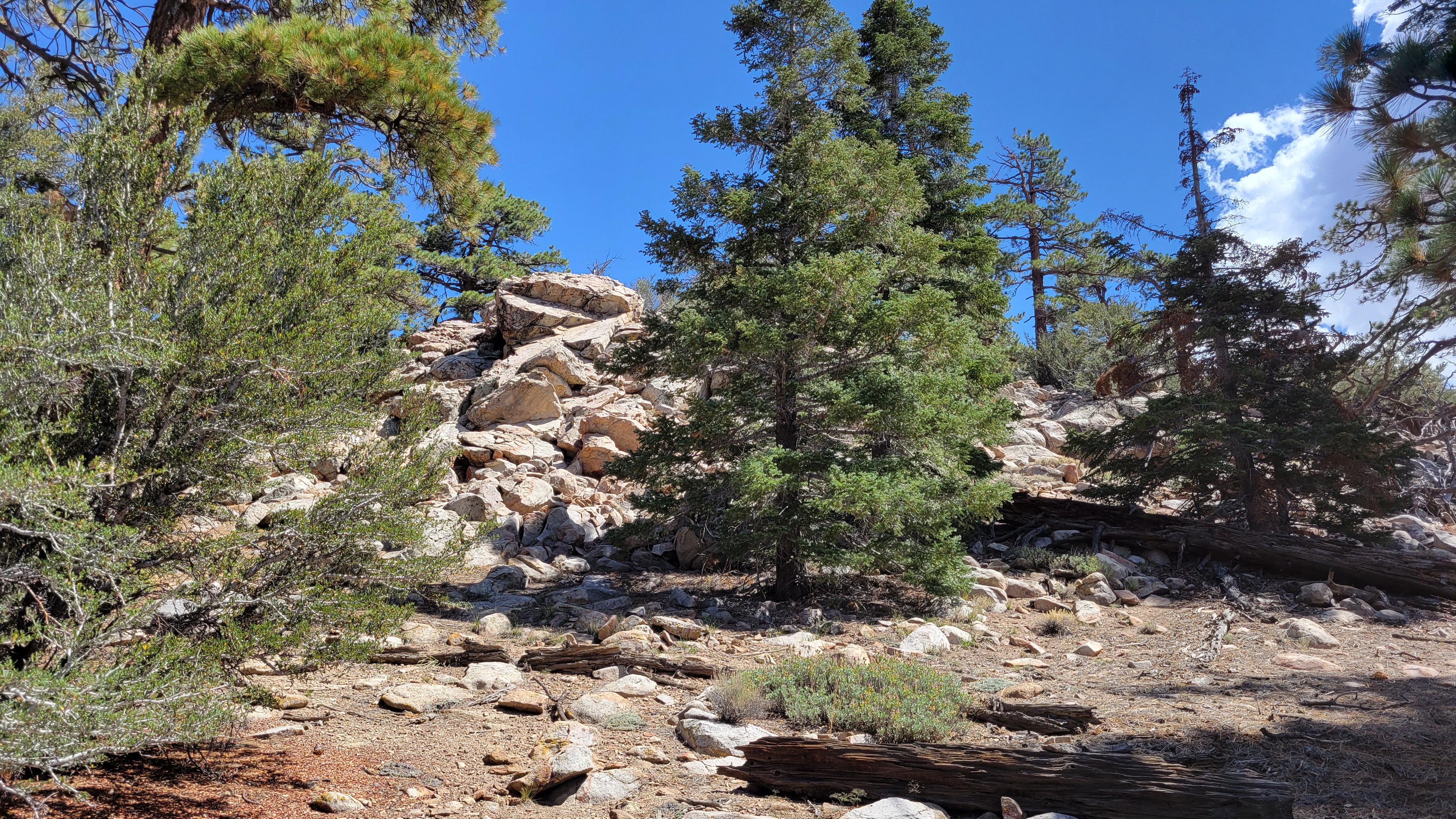
Storms in most of the higher local mountains left me few choices. Blue skies were on tap for Big Bear, so I located some lesser HPS peaks. First up was Arctic Point (HPS #54). Doing this one in the hottest month of the year felt incongruous. I drove a series of dirt roads from the east side of Big Bear Lake to the starting point: 3N09 to 3N16 to 3N07 to the intersection with 3N23. The roads were not bad, but I did have to drive through 4 mud puddles at the end with 4x4. I followed the next dirt road (3N43) on foot to a drainage on the right where the cross country route started. A faint use trail came and went, but I mostly followed cairns. The path appeared to go through several boulder piles, but there was always a ramp or bypass. I did a little scrambling by choice. The summit was a walk up set of boulders. I found a register in HPS red cans, but it was water soaked and I couldn't sign it. I poured water out of the cans and found a dead baby scorpion. The views were mostly blocked by large trees. I was prepared for disappointment with Arctic Point, but I quite enjoyed the walk through open forest. On the drive out, I stopped at Wilbur's Grave. Legend has it that Wilbur wanted to be buried in that exact spot by the side of the road.


No comments:
Post a Comment