Distance: 8.1 miles round trip on trail and cross country
Summit Elevation: 6147' (San Ysidro), 4853' (Hob)
Prominence: 947' (San Ysidro)
Elevation Gain: 3324'
Elevation Gain (in Empire State Buildings): 2.7
Round trip time: 7 hours
Recommended water: 124 oz.
Parking/Fees: Free on Cherry Canyon Road
Difficulty: Strenuous (bushwhack, scramble, route finding)
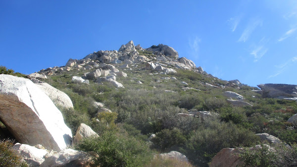
The San Ysidro Mountains run West-to-East, towering over Borrego Springs. It is high desert terrain, thick with vegetation, cactus, and extruded granite. I wanted to explore part of the Ysidro ridge I had never seen, dropping down to pick up Hob Benchmark on the way back. I started from Cherry Canyon and took a wash around the north side of The Thimble to find the use trail going up to San Ysidro. It was my second summit of San Ysidro, the first nine years ago. After signing the register, I started down the ridge.
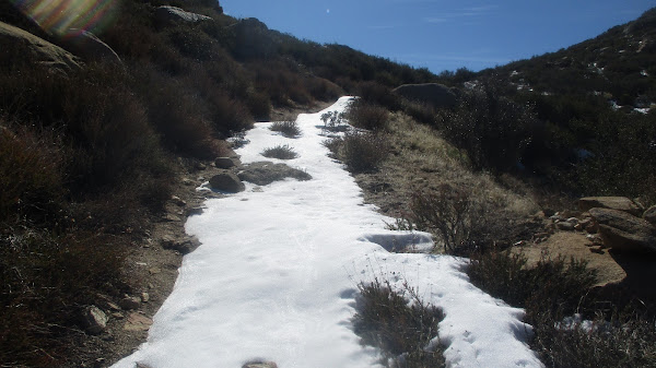
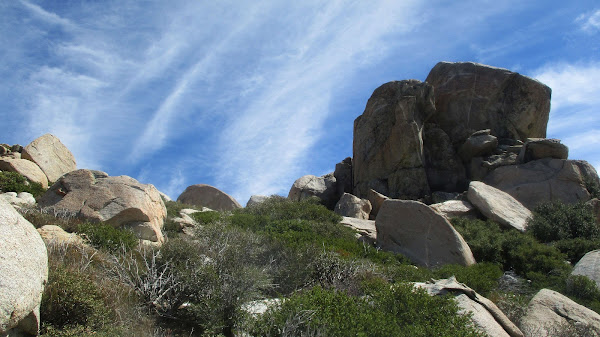
The first two major bumps along the ridge were serious bushwhacks combined with bits of class 2/3. I side hilled below the top of the ridge, which was even more overgrown. At least the brush wasn't thorny. Patches of snow remained in shaded areas, but it may only last another week as spring approaches. After a slow crawl over the first two bumps, the ridge opened up a little and I could mostly pick my way through without wading through greenery. I climbed to the high point above Hob for wonderful views. I took a long break there before starting the steep descent to Hob. The slope was sandy and it was easy to plunge step quickly.
Hob was hard to spot among the many boulder piles on the slope. Eventually, I found some wire and part of a post that marked it. I also found a reference mark stamped "Hub" instead of Hob. The local name may have changed over time. I didn't find the station mark or a register. It was nice to finally get Hob since I had walked by it on many prior trips. The rest of the return was uneventful.


No comments:
Post a Comment