Distance: 9.3 miles round trip on trail and cross country
Summit Elevation: 4680' (Chariot), Julian Ridge (4885')
Prominence: 600' (Chariot)
Elevation Gain: 2075'
Elevation Gain (in Empire State Buildings): 1.6
Round trip time: 4 hours 30 minutes
Recommended water: 72 oz.
Parking/Fees: Free on Sunrise Highway (S1)
Difficulty: Moderate
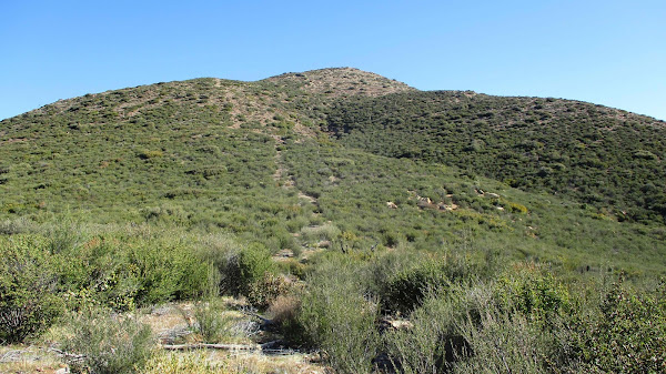
Chariot Mountain is a delisted SDC peak, but still popular with local hikers. The California Riding and Hiking Trail (CRHT) leaves from the monument as an alternating single track/dirt road through grasslands. It eventually links up with the Mason Truck Trail. It was flat for more than a mile before I reached the drop into the canyon. The trail drops about 850' before climbing up the road below Chariot. I followed the dirt road to the southeast ridge where a firebreak leads up the ridge. I followed the firebreak to the top, regaining all elevation lost dropping into the canyon. There were a couple of tiny bumps along the summit ridge. The farthest was the high point and location of the register. The oldest register was placed in 1995. The newest one only had a couple of empty pages left. It needs a new register the next time someone goes. At top, the views were nice in every direction, especially into Mason Valley. The weather was perfect, cool and sunny. I signed in and hung around for about 10 minutes before heading down. When I got back to the CRHT, I made a short side trip to the Julian Ridge Benchmark, less than half a mile away. I walked up the dirt road, then took a short use trail to the benchmark with a metal pole. I was surprised to find a register at Julian Ridge. A quick signature and I headed back. The side trip added about 30 minutes to the hike.


No comments:
Post a Comment