Distance: 11.5 miles round trip on trail and cross country
Summit Elevation: 6666'
Prominence: 760'
Elevation Gain: 3124'
Elevation Gain (in Empire State Buildings): 2.5
Round trip time: 6 hours 20 minutes
Recommended water: 80 oz.
Parking/Fees: Adventure Pass at Johnston Ridge Trailhead
Difficulty: Moderate
Madison and I drove separately down 10 miles of dirt road on Grade Valley (7N03) to reach the Johnston Ridge Trailhead. Our goal was San Rafael Peak (HPS #144). San Rafael lies in the Sespe Wilderness, deep in the heart of Los Padres National Forest. Several peaks in Los Padres require a long drive to reach the starting point and this was one of them. The drive was complicated by dozens of free roaming cattle on the road. Occasionally, one of the bulls would stop and challenge our vehicles, backing down after an insistent honk.
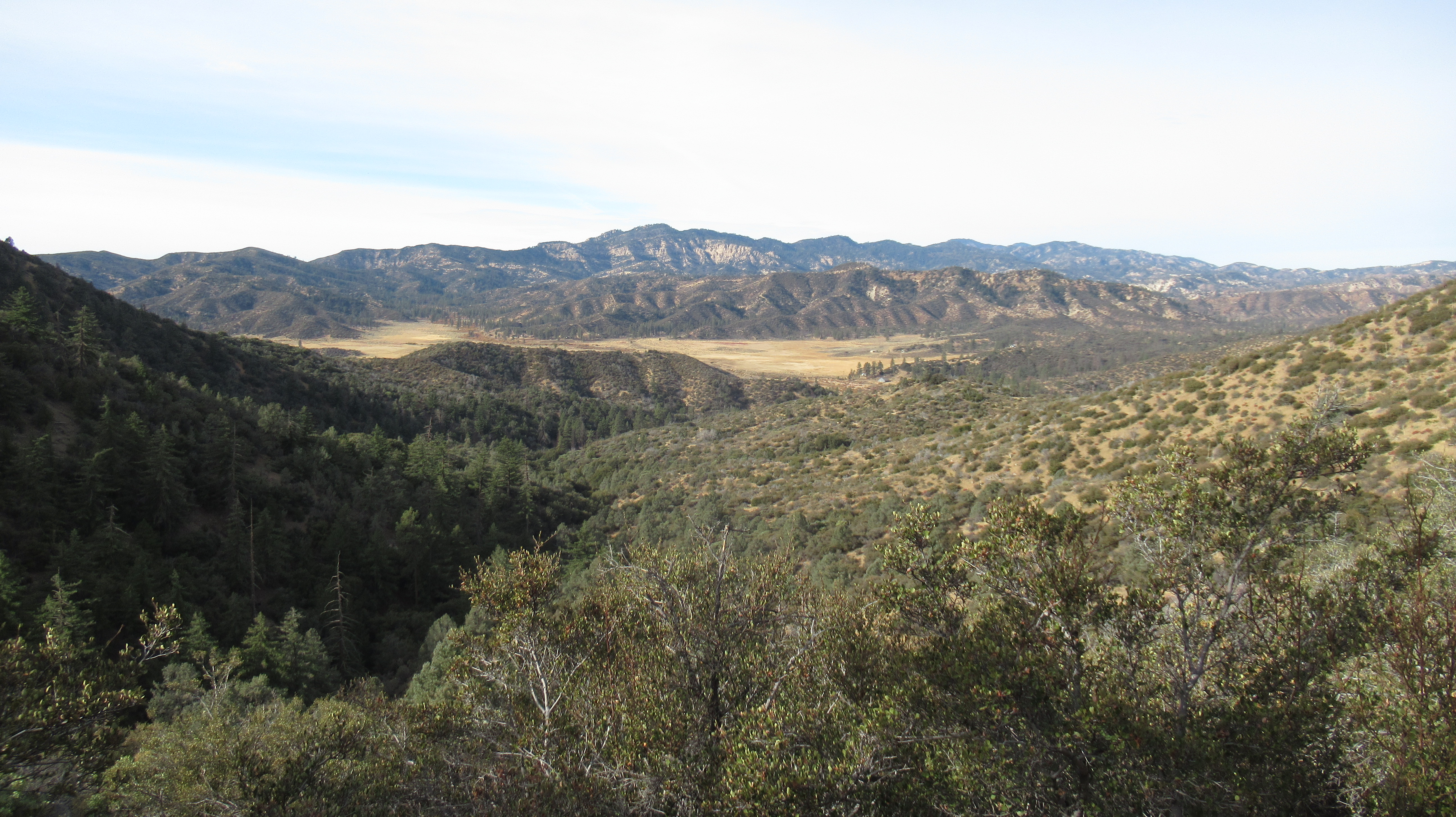
We set out just before 8 AM on the east bound trail under cool and partly cloudy skies. We crossed Piru Creek and walked through a stand of tall pines before reaching the Little Matau junction. It's nice country, and a welcome change from my desert heavy winter agenda. At the 5729' saddle, we left the trail for the cross country ridge traverse. As we ascended the first of several major bumps, we caught our first glimpse of San Rafael Peak. The second bump has a single cut path through the buckthorn. On the third bump, we followed animal trails too low on the left side and had to climb a very steep slope to right ourselves. The ridge gets a little tricky in places where you head away from the destination to stay on track. The final 300' gain to the summit seemed to go slowly. Views at the top were simply fantastic. Cobblestone is directly east. Topatopa, Alamo, and Thorn Point are nearby. Mt. Pinos was visible far away. We signed the register, noting the oldest entry going back to 1974(!). We took a decent break on the summit even though we were harassed by bees.


The way back added some gain as we continued the up and down over the bumps. While descending the final bump before reaching the trail again, we lost the use trail and thrashed through some brush. The Sierra Club lists the navigation as difficult, but I think we handled it pretty well. We thought about picking up Lockwood Peak after we got back, but the short day meant part of it would have to be done in the dark. We decided to leave it for another day. We didn't see any other people all day. I packed out a balloon with a fuzzy pink boa. Madison packed out another balloon, bottles, cans and used tissue. San Rafael was my 300th official Sierra Club peak. It was a fun outing worth the long drive.


Other Reports:
San Rafael Peak (Wild Southland)
San Rafael Peak (David Stillman)
Good day out in the woods. You looked fabulous in that boa!
ReplyDeleteMadison,
DeleteIt was a great hike! Thanks for suggesting it.