Distance: 2 miles round trip cross country
Summit Elevation: 800'
Elevation Gain: 0'
Elevation Gain (in Empire State Buildings): 0
Round trip time: 2 hours
Recommended water: 16 oz.
Parking/Fees: Free on Arroyo Tapiado Jeep Trail
Difficulty: Easy
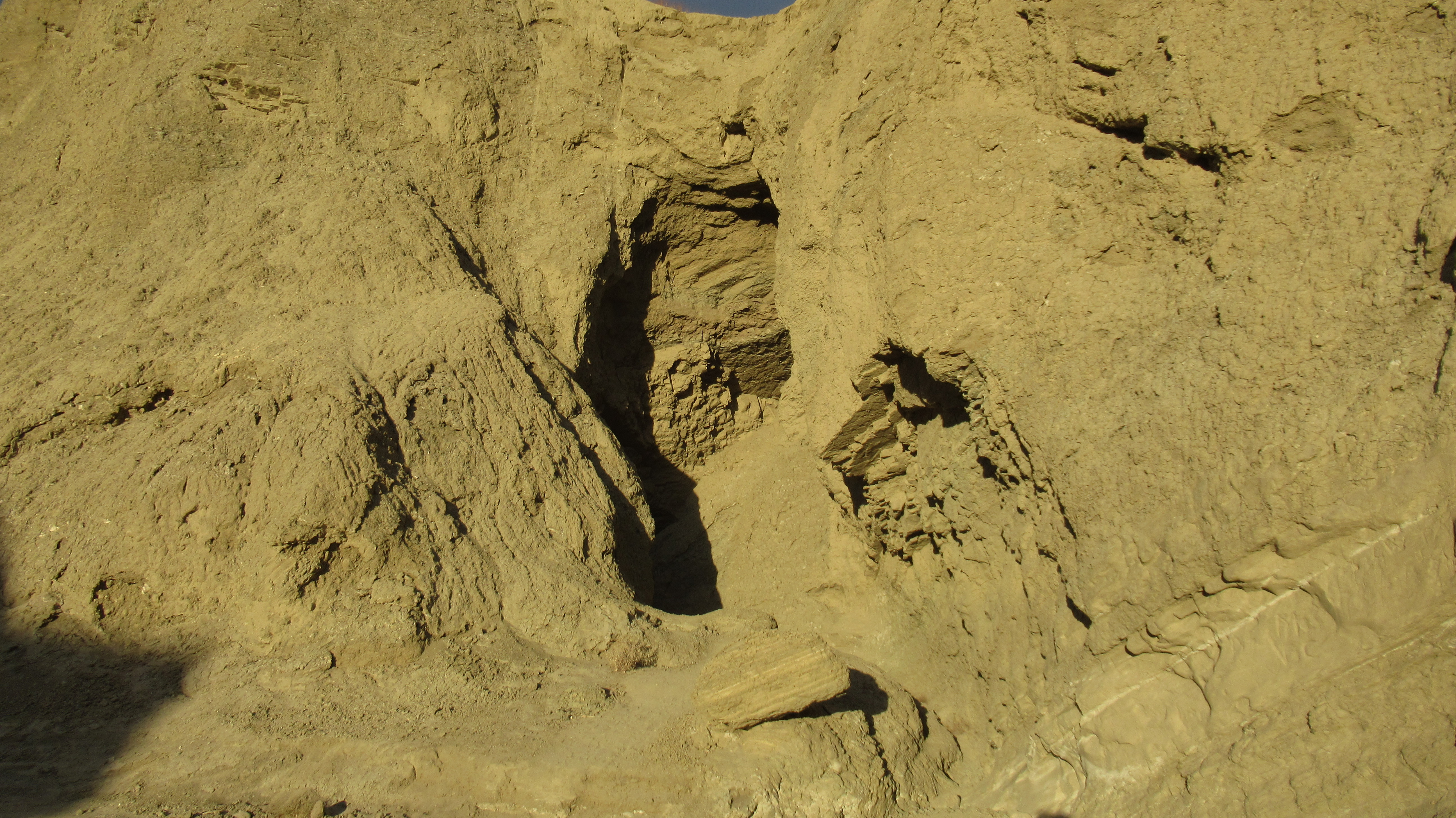
The Arroyo Tapidado mud caves are a unique geologic feature in the southern part of the Anza-Borrego Desert. Water carves slot canyons and caves out of mud that hardens between rains into phatasmagoric shapes. To get there, take highway S2 south and go east on Vallecito Wash, then make a sharp left turn in about 3 miles on Arroyo Tapiado Jeep Trail. From there, it's another 2 miles. 4x4 not needed. Once I arrived, I picked promising looking caves or slots and explored. Only two out of five tries led to long caves or slots. There are probably better caves I missed. The signs warn against exploring, calling the caves "mysterious and dangerous". The primary danger is walking on top of the mud and falling into a pocket or chute. A secondary danger is having an unstable roof or wall collapse on you. I found plenty of cave ins in the area.
Cave #1 started with a large opening that became a winding slot canyon leading through several tunnels and rooms. A couple had skylights, but none were long enough to require a flashlight. Some parts were narrow but it was an easy hike that eventually exited into badlands.


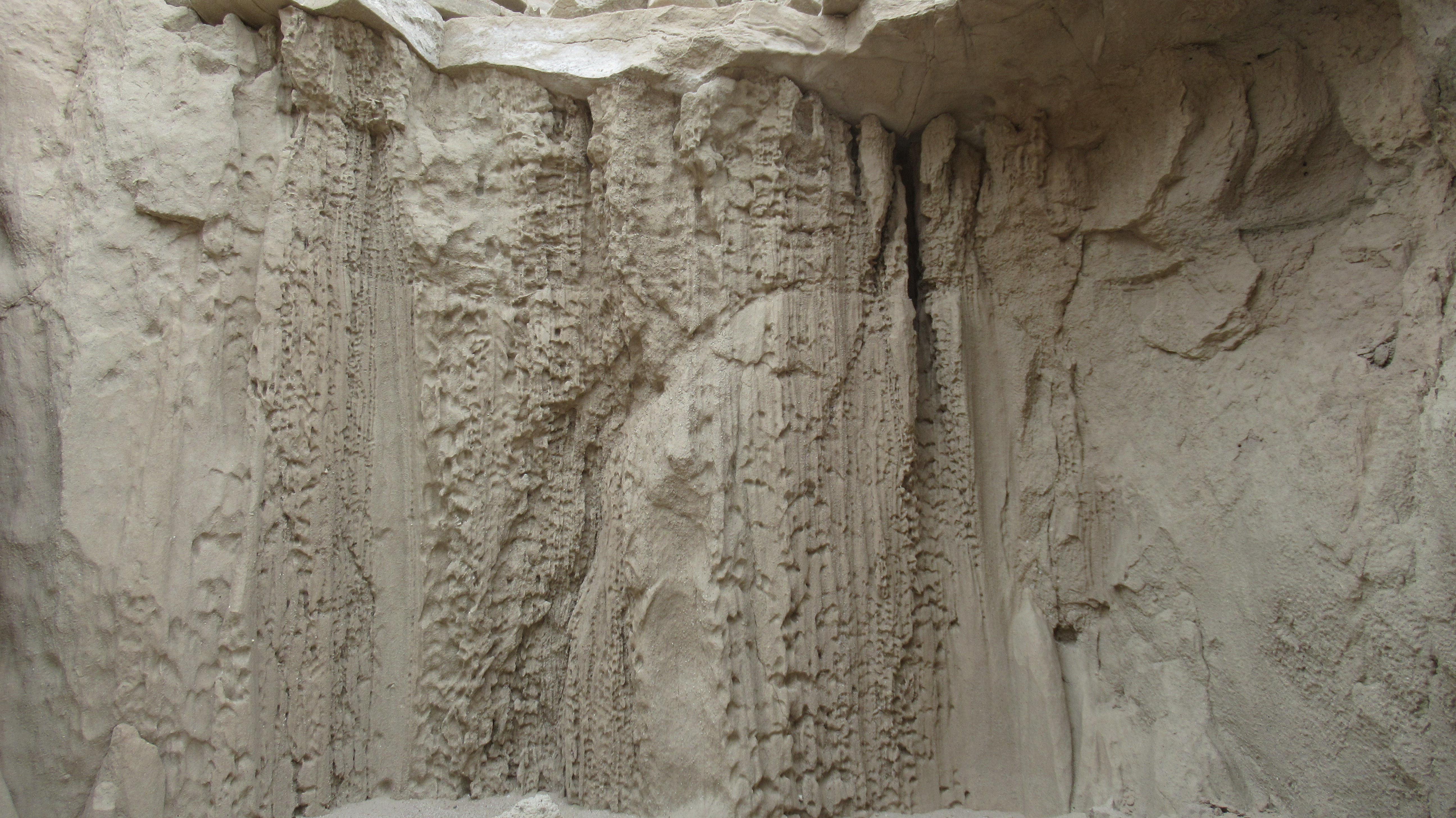
Cave #2 had a partially collapsed overhanging wall, mud chockstones, and required crawling in two spots. It was a little more difficult than the first one, but also more interesting. No one else was visiting the caves except one car camper in a Jeep.


Hey, you finally got there! Nice! And the weather was probably great, too. Glad you got to see the mud caves!
ReplyDeleteMike Martin
Mike,
DeleteThanks! Weather was great, just overcast. It's officially desert season.