Hiked: 3/27/2020
Distance: 2.2 miles round trip on use trail and cross country
Summit Elevation: 1423' (Pigeon), 1944' (Sugarloaf)
Prominence: 404' (Sugarloaf)
Elevation Gain: 1095'
Elevation Gain (in Empire State Buildings): 0.9
Round trip time: 1 hour 20 minutes
Recommended water: 20 oz.
Parking/Fees: Free on Marlborough Ave
Difficulty: Easy
For two weeks, I've been fighting some kind of bug. It started to go away and came back a couple of times. In light of the SARS-CoV-2 pandemic, it made me wonder. The symptoms I had were a tightness/coldness in my upper chest, dry cough, and sore throat. However, I don't think I ever had a fever. After a week, I was concerned enough to call my doctor, who said they were only doing tests on severely ill people or people that had traveled internationally. I was neither so I didn't get tested. The worst of it was last weekend when I didn't sleep well. It didn't get worse and definitely was mostly gone when hike day arrived. I felt about 93% recovered, but didn't want to push too hard, so I chose to finally get Pigeon Benchmark and Sugarloaf overlooking the University of California Riverside. I parked on Marlborough Ave before the no parking signs.
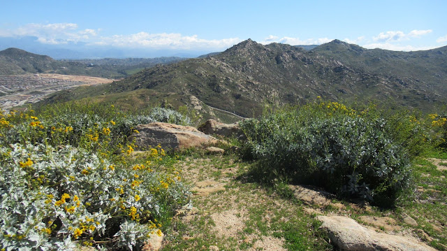
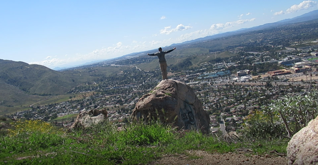
Other than a couple of delivery trucks, there was no traffic on the street and no other people. I headed across a dirt lot toward Pigeon, eyeing a grassy road up the closest ridge. It was an easy walk up and I was in no hurry. Pigeon has a USGS reference mark, but the benchmark had been taken. No register. After a quick photo, I continued to the more fun looking climb. I dropped to a shallow saddle, then started up an obvious use trail toward Sugarloaf. The first part was steep, but it got steeper higher up. About a third of the way up, the use trail got lost in the weeds. I continued straight up, using hands in a few places to get past boulders. Because of recent rain, the ground was soft and provided excellent traction. It would have been more difficult if it had been dry. I chugged upward but never pushed my pace. I just enjoyed being out on a steep slope. When I reached the top, I looked around and found neither a benchmark nor register. I did find a spot where the benchmark had been taken. On top, I noticed a 10' class 3 boulder just below the summit on the south side with a small pipe coming out the top. I kicked a local crow off the boulder and looked around for a marker. There was nothing but the pipe and some graffiti. I descended down the north side of Sugarloaf on a very good use trail and walked directly back to the truck. Short and sweet but nearly an Empire State Building in gain.


Hey hey! In my back yard today, huh? Glad you made it out here - great day for a hike/climb. Like I mentioned, I did them from the south - use trails easy to see, which I needed. That slope from Pigeon up to Sugarloaf is a little daunting - good for you.
ReplyDeleteI was doing some of my own today - Steele, 2483, Double Butte East, and Hules Hill - all out in the IE near Perris. Great day out there. Let's get out sometime in April when you feel better. I'm off for the whole month. But you knew that......
Mike Martin
Mike,
DeleteHaven't heard of the peaks you hit around Perris, will check them out. Might be able to get out in April, will be in touch.