Distance: 1.8 miles round trip on use trail
Summit Elevation: 3948' (May), 4003' (Fernando 2)
Prominence: 328' (May), 1283' (Fernando 2)
Elevation Gain: 870' (combined)
Elevation Gain (in Empire State Buildings): 0.69
Round trip time: 1 hour
Recommended water: 16 oz.
Parking/Fees: Adventure Pass
Difficulty: Easy
May Peak is the newest mountain added to the Sierra Club Lower Peaks, in 2015 no less. I could not avoid a rush hour start time which meant spending quality time with four million of my closest friends, a million of them driving semi trucks, on the local 6-lane freeways. The adventure part of the hike was driving past downtown LA, with Google maps diverting me off and on the freeways to shave a few minutes here and there. In morning traffic, it took nearly three hours to get to the saddle between May Peak and Fernando 2 on the Santa Clarita Truck Trail (3N17). The mostly paved Santa Clarita Truck Trail is gated, and the gate was open. A sign says the gate closes at 6 PM. I would guess it opens at dawn. On the way to the trailhead, you must drive through LA County Fire Camp #9. There were a lot of cars and trucks parked at the facility, but I didn't see anyone outside as I drove through. Just past the camp, 3N17 dips down and right at a fork. The saddle is not too far after the fork and there is a wide parking area. Because of rain the day before, most of the saddle was under a shallow pool of water.
It was a surprisingly cool 55F under low, lingering clouds from the passing storm. I started up the damp firebreak, only muddy in places, for the short hike to May. It was about a mile round trip over a use trail and some false summits. Clouds blocked the views, so I focused on getting to the summit and signing the register. The register started in 2015, yet was already half full. The newest lower peak was quite popular. I concluded my business and jogged most of the way back, passing three other hikers on the way up from the saddle.
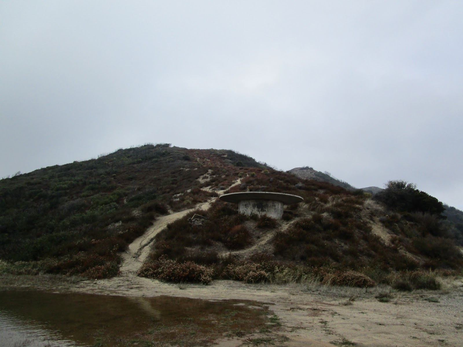
As soon as I was down, I headed up the firebreak toward Fernando 2. Fernando sports a healthy prominence of 1283' and the top was buried in the clouds. When I got to the top, I started looking around for the benchmark, expecting it on this side of the summit based on the topo maps. It was not hard to locate and was stamped "Camp 9". I am not sure about the origin of the Fernando 2 name. Still in the clouds, there was not much to see. I wandered around past the benchmark and found several fenced buildings and a lot of equipment. This location was one of the former Nike missile sites. It is still being used for something, though the missiles are long gone.

Gate on Santa Clarita Truck Trail (3N17)

Passing through the fire camp
Firebreak and bumps leading to May Peak (not visible)

Windbreak on one of the bumps

May Peak ahead

Register

Returning to the saddle and looking at the firebreak leading to Fernando 2 in the clouds

1983 benchmark stamped "Camp 9"

One of the fenced buildings with storage tanks


hey that was a fun little hike. great views. Lots of humps on that ridge. I found the fernando benchmark but I'm not sure which one May peak was. There was no register anywhere that I could find. One of the humps had a US flag on it, but it wasn't on your track. wierd.
ReplyDeletejoe schmoo,
DeleteI am sure you had better views that I did on a cloudy day.