Distance: 8.2 miles round trip on trail and cross country
Summit Elevation: 5633'
Prominence: 1953'
Elevation Gain: 2900'
Elevation Gain (in Sears Towers): 2.32
Round trip time: 5 hours
Recommended water: 104 oz.
Parking/Fees: Free on Rodriguez Spur Truck Trail
Difficulty: Moderate
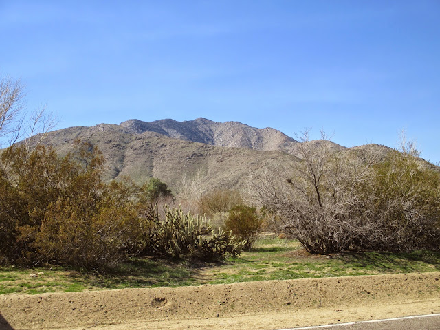
Granite Mountain is an imposing peak in the Anza-Borrego Desert with just under 2000' of prominence. It is #16 on the San Diego Sierra Club list and #221 on the HPS list. Adam (aka Gimpilator) joined me on this hike after our schedules finally worked out. We drove around Granite Mountain on S2 to the south side to take advantage of the Rodriguez Canyon route. This turned out to be a great choice, based on reports from other popular routes. We were expecting quite a thrashing and some route finding problems that never really materialized.
We started up a wash and could see the old mining road cut into the side of the mountain, but heading away from the peak. We followed the road up a wide flat area where we could see the main south ridge above us. I was surprised to find the road in good shape. As we reached the flat, we spotted a couple of deer in the distance, but were unable to get any photos. A few hundred feet above where the road ended were two old mining shafts, the apparent purpose of the road. We crawled inside each of the shafts to look around, turning back when Adam spotted rat droppings. We could not see the end of either shaft, leaving the rest to imagination.
When we reached the main ridge, we were greeted with a sea of cactus. In a moment of carelessness, I brushed a cholla and a needle penetrated my boot and sock, lodging in one of my toes. I had to stop and remove it before continuing. Luckily, there were no more close encounters of the cactus kind. Mostly, the use trail was in good shape up the ridge, though it faded in places. There were frequent cairns of all sizes. A couple of rocky spots looked like they might require some climbing, but in all cases, we found a class 2 bypass. The final approach included one false summit before reaching the large boulder and manzanita mash up of the true summit. The best path we found was closer to the north side and required a couple of class 3 moves. On the summit block is a benchmark from 1938 and two nearby reference marks. A new register was in place circa 2014 and already had four or five entries from 2015. We dutifully signed in and replaced it in the trademark red cans. It was very clear and the views were spectacular in every direction. We spotted a couple of brush fires that we later learned were controlled burns by the forest service. I tested out the Google photosphere app on my phone with some success. After enjoying the summit and taking in some calories, we packed up and made a quick descent. Granite was one of the most enjoyable hikes I've done in Anza-Borrego and the route was a pleasant bit of work. Since we had extra time, we made an effort to drive up to the Palomar High Point lookout on the way back. The first dirt road we took led to a dead end on private property. When we found the right road, it was closed and gated at the start. We talked to a forest ranger there and he told us the road was closed until summer. Even though we didn't get to Palomar, it was useful info to know about the closure so we wouldn't make a fruitless attempt in the near future.
Would you like to know more...?


No comments:
Post a Comment