Hiked: 6/28/2013
Distance: 17.4 miles round trip on trail
Summit Elevation: 11501'
Prominence: 8294'
Elevation Gain: 5461'
Elevation Gain (in Empire State Buildings): 4.36
Round trip time: 10 hours 38 minutes
Recommended water: 204 oz.
Parking/Fees: Adventure Pass
Difficulty: Strenuous
Of the many routes to San Gorgonio mountain in the San Bernardino mountains, the Vivian Creek trail is the most popular and most direct. That also means it has the greatest elevation gain. This hike is often a trainer for Mt. Whitney and that is exactly why Rod and I chose to do it at this time. It offers serious distance and serious gain at high altitude. A great training hike. While there is normally water available at the camps along the way, recent reports suggested that water levels were low. I chose to pack in all the water (and gatorade) I needed, making my pack an outrageous 25 pounds to start. In fact, there was plenty of water at Vivian Creek camp and High Creek camp. We arrived at the trailhead at 7:30 AM and set out on the steep first section to Vivian Creek Camp.


Mill Creek crossing

There were a couple of campers set up at Vivian Creek Camp. As we crossed the creek, the insects and biting flies picked up. I brought a can of bug spray and it was applied liberally. Before High Creek camp, we were startled by a rattlesnake a few feet off the trail. Rod quickly moved down the trail away from it, while I got my phone out to grab a video. It was so well hidden that it is hard to see in the video. It wasn't hard to see once it started rattling. I went up the hill a little to give it plenty of room and we continued up the mountain.
 Yucaipa Ridge
Rattlesnake surprise at 8800'

Rod heading toward High Creek camp
As we got higher on the trail, we got a good view of Dragon's Head and San Gorgonio in the distance.
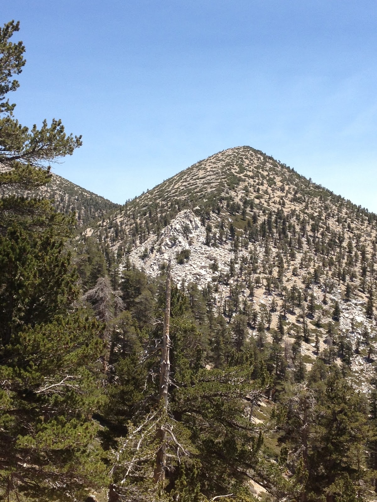
Dragons Head Peak

First view of San Gorgonio in the distance


Pine tree growing sideways near the summit
The last section became steep again and finally turns right up the final ridge to the summit. Rod's heart rate was high, so we took frequent breaks. There were many golden-mantled ground squirrels, clearly accustomed to humans, looking for food. I snapped a picture of one in a fine summit pose. The views of San Jacinto, Saddleback, and even the San Gabriels were spectacular. I took a couple of panorama shots, but they turned out poorly because I didn't hold the camera level while panning. After entertaining the squirrels for a few minutes, eating the last of the food, and signing the register, we started back down. A fire was visible in the distance on the way down, and the police had closed highway 38. We had to find an alternate route to get back to I-10, but it was only a small delay. It appeared the fire was under control when we got back to I-10.

Approaching the summit

On the summit

Rod on the summit

San Gorgonio benchmark

Golden-mantled ground squirrel on the summit


No comments:
Post a Comment