Distance: 11.2 miles round trip on trail and cross country
Summit Elevation: 4436' (Pepperwood), 4553' (Bow Willow)
Elevation Gain: 1435'
Elevation Gain (in Empire State Buildings): 1.1
Round trip time: 5 hours 10 minutes
Recommended water: 80 oz.
Parking/Fees: Free on McCain Valley Road
Difficulty: Moderate
It was Easter Sunday and I saw Jesus. Well, I saw "a" Jesus, not necessarily "the" Jesus. Back to that in a second. During the present dystopian pandemic, all state and county parks were closed and many national parks as well. Itching for a hike, I had trouble finding mountains that were not closed and where I would not run into people. I scouted some Bureau of Land Management parcels south of Anza-Borrego in San Diego County. Pepperwood Peak was on BLM land, while nearby Bow Willow was technically just inside the Anza-Borrego boundary.
I started south on I-5 around 7 AM and saw Jesus standing on a pedestrian bridge in San Clemente. He had long hair, white robe, staff in his left hand and was waving at the seven cars on the freeway. I watched him for 20 seconds and he seemed real but maybe he was just a robotic Jesus set up by someone for Easter. Either way, this is why I love California.
I drove as far as I could on McCain Valley Road until the dirt road became too deeply rutted from rain. I parked near some of the giant high tech windmills generating electricity. No other cars were around. It rained the entire drive but the clouds were blocked by the Laguna Mountains and patches of sun and blue sky greeted me at the trailhead. I hiked to the end of the road, then picked up a single track trail heading north toward Pepperwood. There were several side trails as the path curved east eventually hitting an abandoned dirt road. I followed the road to the base of Pepperwood, then started up through massive boulders. Some class 3 was required to crest the first wall. However, the summit was further behind at the middle bump. I skirted right, dropped to the saddle, and scrambled to the high point. I thought I had found a register box, but it looked like a solar powered radio relay. A closer inspection didn't reveal much so I didn't disturb it. Views were spectacular into Canebrake and the Sawtooth range. I could see the tops of Sombrero and False Sombrero to the southeast. The sun brightened my mood and I sat and enjoyed the isolation.


Start of single track

Pepperwood Peak, high point is middle bump


Solar powered radio?

Red Top and Sawtooth Mountains

Canebrake Wash


On the way back, I continued along the abandoned road toward Bow Willow. The road took me to the start of the long ridge line, the easiest way up. A bloom of yellow flowers spread along the lower flanks. A short scramble brought me a line of tall boulders, the highest being the farthest away. A narrow ledge led to the two summit boulders, roughly 20' high, one leaning against the other. The way up was class 5 and beyond my ability without a rope. I didn't find a register or mark. Views were not as impressive as from Pepperwood but still fine. I took a shortcut back to the trail. In retrospect, there was another trail that would have led almost directly back to the truck, but I didn't know it at the time. This hike was the best therapy I could imagine.

Bow Williow Peak ahead


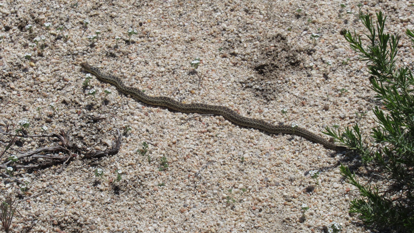
Baby gopher snake


Mild elevation changes look more dramatic than they were

Nice! I also went out Sunday planning to hike in McCain valley, but it was raining pretty hard in Boulevard so I headed down to climb moonlight peak instead.
ReplyDeleteChris,
DeleteYeah, it was raining on McCain Valley Road all the way to Cottonwood Camp. I thought I was going to be hiking in the rain. If it hadn't stopped, not sure I would have continued but I got lucky.
You back!
ReplyDeleteMadison,
DeleteIt was great to at least put up a moderate day and reset the attitude.