Distance: 11.2 miles round trip on trail
Summit Elevation: 11416' (Piute Pass)
Elevation Gain: 2355'
Elevation Gain (in Empire State Buildings): 1.9
Round trip time: 6 hours 30 minutes
Recommended water: 92 oz.
Parking/Fees: Free at North Lake trailhead
Difficulty: Moderate
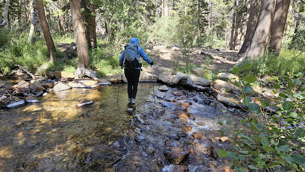
Our second day in the Mammoth area was also the second day of the freak August storm. When we stepped outside our cabin at Convict Lake, we were greeted with snow and howling winds. We decided to drive south to see if we could get away from the worst of it. We went about 15 miles south, but were still getting snow. We continued all the way to Bishop, then drove up to the North Lake trailhead. With zero prep, we considered this an exploration. Two major trails leave the North Lake campground. One heads to the Lamarck Lakes, and the other to Piute Pass. We chose the Piute Pass trail that also had many lakes along the way. The parking lot was packed and we had to park in the overflow lot. The Piute Pass trail started gently, climbing up a canyon toward red spires and eventually Mount Emerson. It was a beautiful area. As is my nature, I studied every jutting granite crest looking for the best ascent routes. Of course, I had zero knowledge of the area and didn't want to drag Leisa into an unnecessary disaster.
We continued climbing the trail as it became steeper with chunky steps. We finally reached the first major lake: Loch Leven. A blast of wind hit us and I thought we were going to get pummeled going forward. However, the terrain protected us and we continued past several more small lakes before reaching Piute Lake. Mount Emerson was sheer and jagged on the right, while Mount Thoreau dominated the left side the canyon. The scenery only improved. We met several backpackers on their way out who mentioned the harsh conditions over the last 24 hours. Soon, we topped out at Piute Pass and looked into the amazing basin below. Mount Humphreys rose ominously in the north, and large mountains loomed to the south that were complete unknowns. On the other side of the pass, we were no longer protected from the wind and it squashed any lingering ideas I had about trying to claim a summit. We dropped below the pass back into safety and took our time on the way down. When we got back, I looked into routes to Thoreau and discovered a long battle had been waged over the name. The Sierra Club had named it Mt. George Davis, but a group of mountaineers worked to name it Thoreau to match neighboring Emerson (and other reasons). They went so far as a write a book arguing their case called "Naming Mt. Thoreau". Most of the sites and maps I visited have named it Thoreau, so their campaign was evidently successful, though the USGS remains silent on the issue. Fascinating stuff.


No comments:
Post a Comment