Distance: 5.7 miles round trip cross country
Summit Elevation: 4613'
Prominence: 2218'
Elevation Gain: 2338'
Elevation Gain (in Empire State Buildings): 1.8
Round trip time: 7 hours
Recommended water: 112 oz.
Parking/Fees: Free on Amboy Road
Difficulty: Strenuous
Sheep Hole Mountains HP (DPS #71) is a rough and tumble off trail boulder scramble near Twenty Nine Palms. The high point has over 2000' of prominence. I expected a lot of steep terrain like I found on Fish BM in January. Sheep Hole averages about 10 visitors a year. I chose DPS route A, the gully route, and parked on the shoulder of Amboy Road near the start. There was a surprising amount of traffic on Amboy Road, and I decided that was a net positive for the safety of my vehicle. [note: the new cheap camera I got only shoots at 4:3 aspect ratio, not pleased about that]
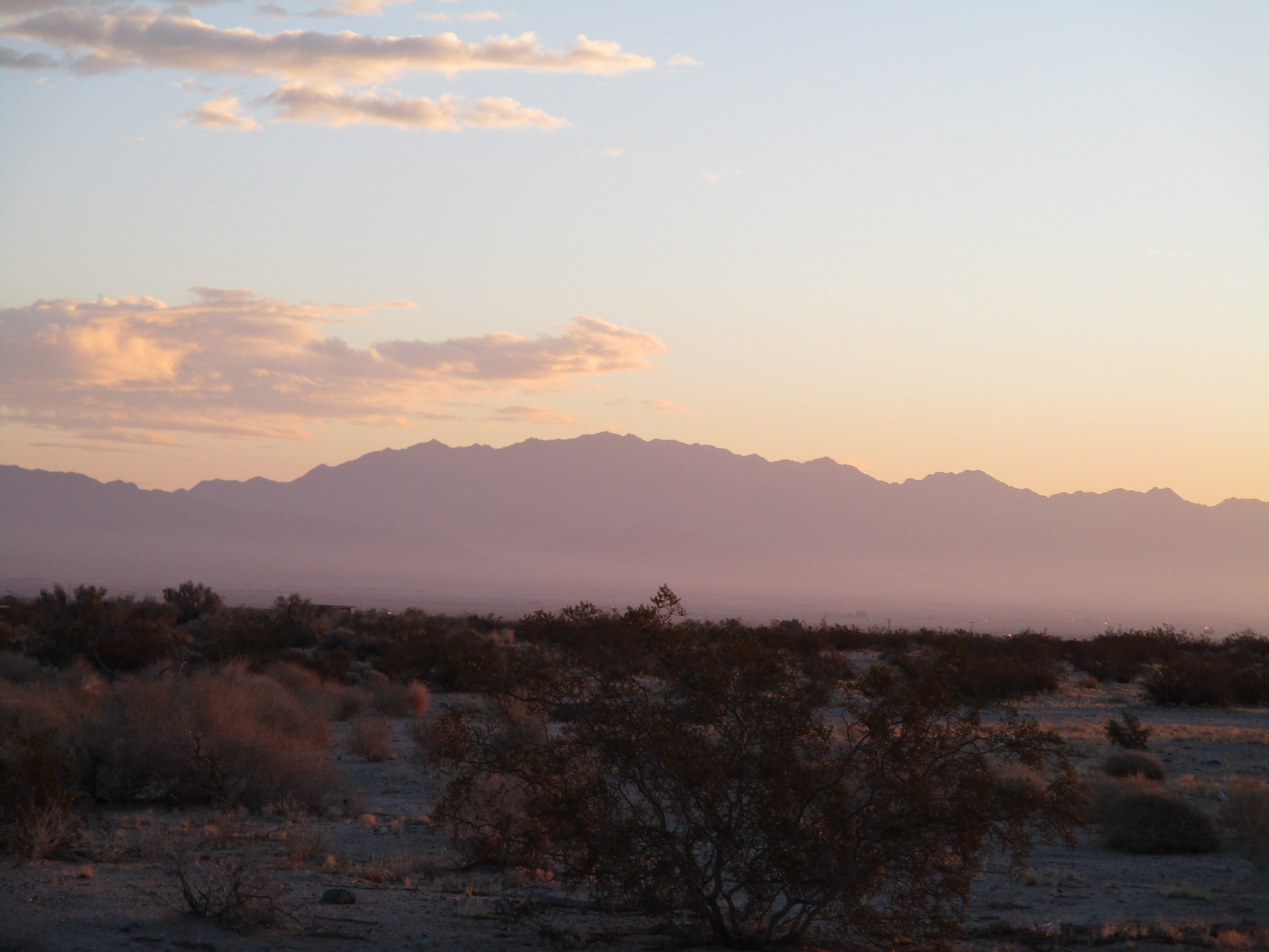
The first half mile up the gully was mellow with small dry falls and easy bypasses. I passed some old mining equipment but didn't see the mine. Higher up, the angle of the gully increased toward 45 degrees and boulders and falls got much larger. I drifted left above the gully and found a disjointed class 3 route over car-sized rocks. I backed off one spot where the next move was a 4' step over a 40' drop. Atop the main gully, it eased up a little before more big dry falls appeared. I left the gully and side hilled just below the ridge, eventually going over a crest and crossing a small drainage. Although the forecast called for sunny skies, gray clouds had moved in and dropped sprinkles on me. The wind was steady, gusting up to 25 mph. It didn't feel like the clouds were threatening a downpour. A hard rain would have ended my bid for the summit. The next section was a very steep climb on loose dirt to a small plateau below the final approach. I spotted several cairns on the slope and followed them to the plateau.


Stellar views started to open up behind me. However, I still had not seen the summit. The final half mile required navigation through bus-sized boulders. I moved in and out of the boulders on a path of least resistance. After starting up a long class 4 chute, I scrambled down when I spotted an easier way around. Route finding in the rough terrain was a constant challenge. I stumbled across more cairns leading around a pinnacle. I was moving very slowly at this point, losing steam, but the clouds had started to clear. Passing the pinnacle finally revealed the summit block. I dropped my pack and evaluated possible ascent lines. I'd read mixed things about the difficulty of the summit block. The obvious way up was via slab on the northwest side. It was class 3, but only the first 10' required pure friction. There were chunky holds the rest of the way. It was far more challenging to get to the summit area than climbing the block. The register was in an ammo box on top. I was glad to find the register lived there and not below the summit. The wind was howling, so I only stayed long enough to sign in and snap a few photos of register pages, holding them down to keep the wind from blowing them around. Without the wind, I would have spent more time on the summit. I started down a little north of where I came up, leading to more class 3 down climbing and crawling under giant boulders. At the small plateau, I got back on course to descend the same route I came up. On the side hill section, I found what looked like some airplane or drone wreckage. When I got back to the steep upper gully, I spotted cairns I missed before. This led to an easy class 2 chute to bypass the worst of the upper gully. I got back to the truck to find it was undisturbed, then started the 3 hour drive home.


Other Reports:
Sheep Hole Mountains HP (Matthew Hengst)
Sheep Hole Mountains HP (Peaks for Freaks)
That route looks challenging and fun. Great shot of you crawling up the summit block.
ReplyDeleteMadison,
DeleteThanks! Tough but satisfying.