Distance: 6.8 miles round trip on trail
Summit Elevation: 7205' (South Rim), 5141' (Skeleton)
Elevation Gain: 2060'
Elevation Gain (in Empire State Buildings): 1.6
Round trip time: 4 hours
Recommended water: 88 oz.
Parking/Fees: $35 National Park Fee (1 car for 1 week)
Difficulty: Moderate
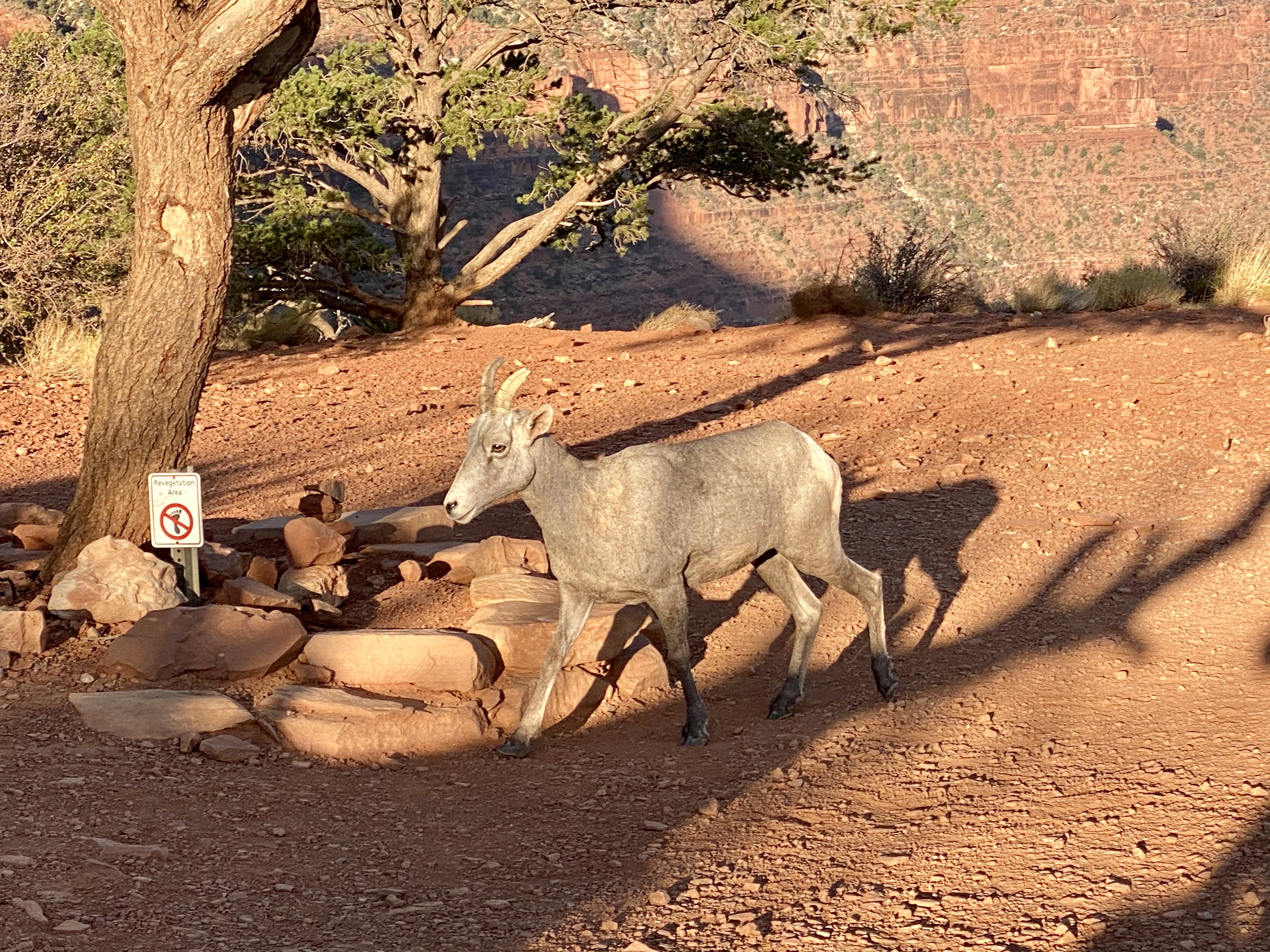
Our second descent into the Grand Canyon this week started at South Kaibab trail. Actually, it started 0.4 miles from the trail at a parking area on highway 64. The only direct access to the trailhead was via shuttle. We decided to walk the extra distance. We started a little after sunrise and dropped down some initial switchbacks before settling into a more moderate descent. There was a crowd of people taking selfies when we reached Ooh Aah Point. We continued down where similar photo ops were available. In short order, we reached Cedar Point, a plateau with working restrooms, but no water. While we were there, a lone bighorn sheep wandered slowy along the plateau, nibbling brush.


Below Cedar Ridge, the trail dropped right of a massive butte where we could finally see the lower plateau that led to Skeleton Point. It levelled out the last half mile. The best views were past the sign for Skeleton Point where we could see a section of the Colorado River. Looking east, we could make out the Bright Angel trail and the trail to Plateau Point. We hung around Skeleton Point for 15 minutes, snacking and taking photos. After a good rest, we packed up and started up. It looked like a long way up, but was a 1000' less than from Indian Garden, so we weren't worried. The trip up was uneventful, other than traffic on the trail increased, especially as we neared the top. It seemed a lot of people preferred a late start which would not work to their advantage.


No comments:
Post a Comment