Hiked: 7/3/2019
Distance: 4.4 miles round trip on trail
Summit Elevation: 9750' (Cornell), 9550' (Harvard)
Elevation Gain: 1752'
Elevation Gain (in Empire State Buildings): 1.4
Round trip time: 4 hours
Recommended water: 80 oz.
Parking/Fees: $8 Parking at Palm Springs Aerial Tramway plus $27 Tram Ticket
Difficulty: Moderate
I drove to the Palm Springs Aerial Tramway to climb Cornell Peak (HPS #21) and Harvard Peak in the San Jacinto Wilderness. Since my last visit, a new $8 parking fee had been levied and the cost of a tram ticket was now $27. Ouch. I filled out a permit at the ranger station and headed toward Round Valley. At the second Round Valley sign at a creek crossing, I veered right onto the unofficial Sid Davis Trail. Once I left the main trail, I was alone the rest of the day. I followed the Sid Davis into Tamarack campground and drank in the pines and granite. I appreciated again how beautiful it was above Mountain Station. From the campground, I went up a shallow drainage, changing course whenever I spotted an infrequent cairn. It got steeper the higher I went. With about 100' to go, it became mostly class 2/3 rock scrambling. I got off course a couple of times, accidentally going too far west and returning east for easier rock. Just below the register, I climbed the wrong side, a slightly more difficult class 3 route up the more exposed side. The register was in a pair of cans below the chockstone and chimney. The number of visitors was not huge leaving the book less than half full. Scraps of old registers filled the bottom of the can. Although the Sierra Club considers it optional, I turned my attention to the true summit.


Sid Davis Trail is right of the boulder, behind the wooden beams


Stay right of this outcrop

Above the tree line

Slightly off route

Class 3 to the register

I pulled a sewn 18' cordelette (9' after looping) out of my pack and starting working on the chockstone. From reading other hiker reports, I expected the chockstone to be the crux. There were some reasonable holds on both sides of the chimney so I considered it only stiff class 3. The exposure to a long fall didn't seem so bad until I got above the chockstone. The final move to gain the true summit was a class 4 friction move to straddle the highest block then inch your way up the last 6' of gain. This block was shaped like a steep house roof (angled slabs on both sides). After studying it for a couple of minutes, I couldn't figure out how to make the move safely or how to protect it. The block was longer than 9' so I couldn't rope it with the cordelette. My brain did the risk calculus and called it off. I stretched my arm to get my hand above the summit and thought that was good enough.
I dropped down to the saddle between Cornell and Harvard, then continued along the ridge to Harvard. I bouldered past a false summit, then around a couple trees to the high point. Cornell looked impressive from Harvard, a pointy spire between Jean Peak and San Jacinto. The register for Harvard was in a pink tuperware container. It was fairly thin and also fairly new. I couldn't get the pen to work so I didn't sign it. After resting on Harvard a while, I headed back to the saddle with Cornell, then down the way I came up. I returned on the Sid Davis Trail to end a short but exciting adventure.


Chockstone

Climbing above


Harvard from Cornell


False summit on Harvard

Cornell from Harvard

Harvard summit

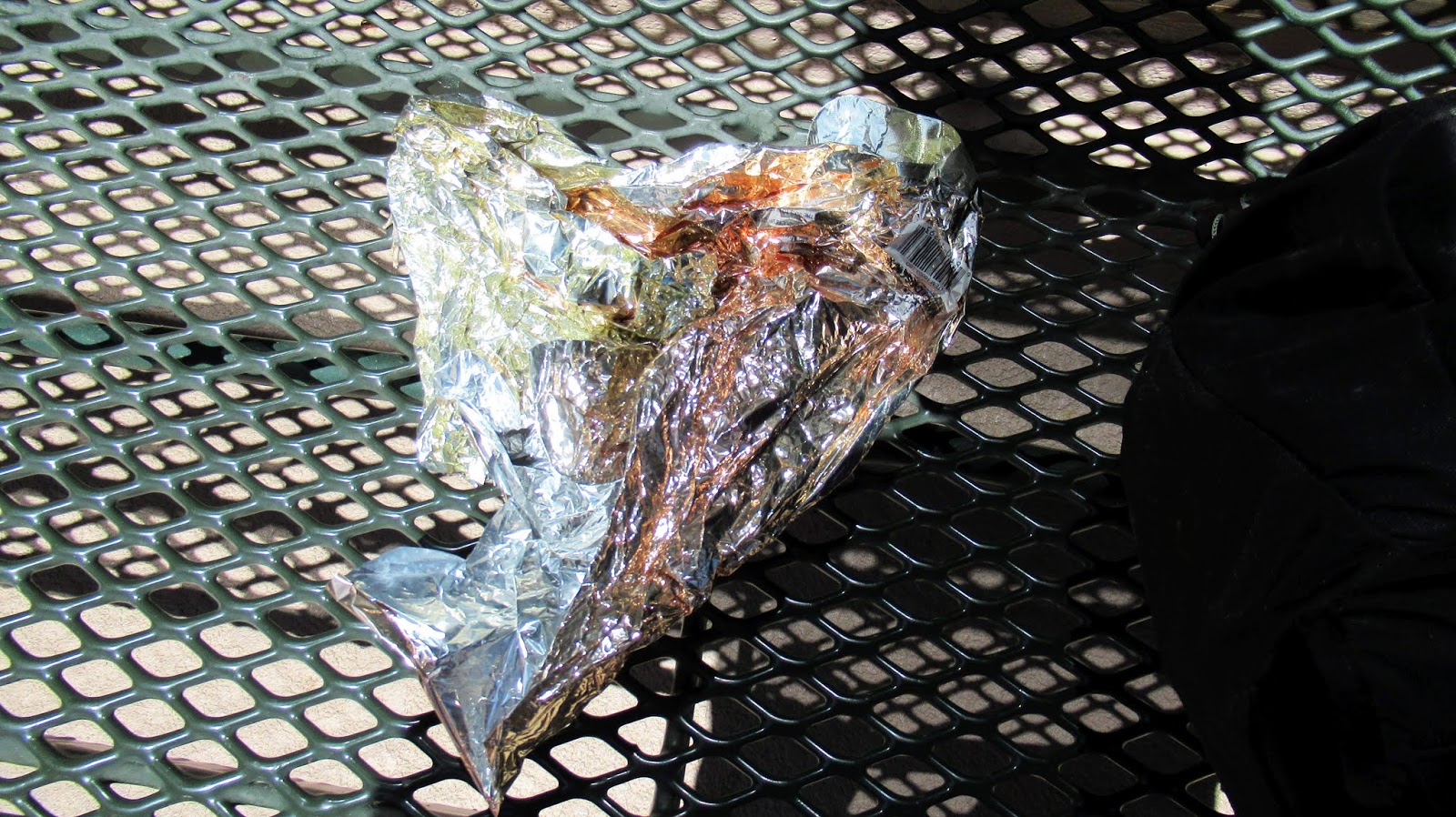
One mylar balloon removed


Looks like it was a fun day. Beautiful up there. Nice hike, Keith.
ReplyDeleteMike
Mike,
DeleteI think the San Jacinto Wilderness wins the beauty contest among the three major SoCal ranges. There are parts of the San Gabriels (high country north of PCH) and parts of the Gorgonio wilderness that come close. Cornell was the most challenging peak I've attempted around San Jacinto. I wish it wasn't so expensive now.