Hiked: 8/3/2018
Distance: 3.7 miles round trip on trail
Summit Elevation: 5737'
Prominence: 897'
Elevation Gain: 1144'
Elevation Gain (in Empire State Buildings): 0.91
Round trip time: 2 hours 10 minutes
Recommended water: 32 oz.
Parking/Fees: Adventure Pass
Difficulty: Easy
I had 4 different hikes planned in the San Jacinto and San Bernardino Mountains, but both areas were closed due to recent fires. Instead, I decided to bag a couple of peaks north of Lake Arrowhead. The Pinnacles was first. The trail starts on highway 173. Getting there was a little tricky. Sierra Club directions can be found here or use your favorite mapping program.
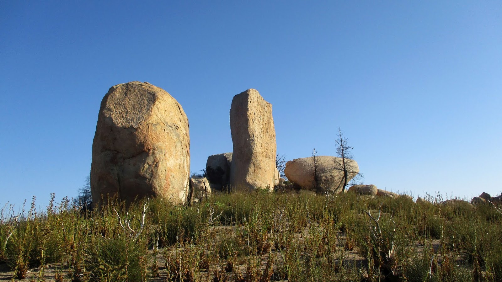
I started at dawn and caught some golden hour shots of the false summit rock formations visible near the start. The area was much more beautiful than I anticipated, with low scrub, pines, and stellar granite. The first mile or so is mostly level until you reach the base of the false summit. I followed the trail up near the saddle below the false summit. This area had burned and poodle dog bush had a firm foothold. At the saddle, I was lured onto a climbers trail that ended at a 35' sport climb, one of many rock climbing routes in the Pinnacles area. I realized the summit was still some distance away and started a cross country correction to get back on the main trail. Unfortunately, I had shorts on and had to wade through some thick poodle dog. Contact was unavoidable so now I am bracing for the consequences. Once I was back on the trail, I reached the base of the true summit and began climbing. Some light scrambling was required on the way up. The summit block was stiff class 2 and capped with a battered metal pin. Whatever had been stamped on the pin was illegible. The register was below the summit block in an ammo box next to an odd pot. I climbed two other boulders at the summit to see if there were any other marks, but didn't find anything. The views were great. I looked for Lake Arrowhead but the Pinnacles is not high enough to see over the intervening mountains. While I was on the summit, I began hearing the pop, pop, blaow of gunshots from the firing range a couple of miles away. Gunshots became the soundtrack for the rest of the hike. I scrambled down and managed to stay on trail the rest of the way. At the truck, I reloaded my water and drove toward Mount Marie Louise.


False summit

Poodle dog bush intruding on the trail

Heading toward the true summit

Looking down from the summit block

Battered pin on the summit

Silverwood Lake and the San Gabriel Mountains

Register

High desert

A couple of monoliths surrounded by poodle dog

On the way down


No comments:
Post a Comment