Distance: 6.5 miles round trip on trail and cross country
Summit Elevation: 3955'
Prominence: 875'
Elevation Gain: 2058'
Elevation Gain (in Empire State Buildings): 1.64
Round trip time: 4 hours 20 minutes
Recommended water: 90 oz.
Parking/Fees: Free at turnout on San Felipe Road
Difficulty: Moderate
Grapevine Mountain sits above Scissors Crossing in San Diego County, #51 on the SDC list. After a week of debate on the wisdom of attempting a desert peak two days after the summer solstice, on a clear day, during an excessive heat warning, Mike Martin and I drove out to the Grapevine trailhead. I had vacillated on, then off, then on again with reservations. Mike seemed optimistic about the weather, but we didn't know if we were headed for trouble. The forecast called for a high in Borrego Springs of 114F, but only 97F in Ranchita. The high on Grapevine would likely fall somewhere between, but very hot in any case.
We arrived at the turnout off San Felipe Road and got started around 6:30 AM with a temp of 79F. Mike was OK with my suggestion to take a shortcut from the parking lot up the nearest ridge to intersect the PCT. This saved us a few tenths of a mile and maybe some time. Once on the PCT, we made good time in the shadow of Grapevine Mountain. By the time the sun edged over the mountain, we had reached the point where we needed to leave the trail. We picked our way up through the sharps, predominately cholla, barrel cactus, cats claw, and agave. After passing a couple of small bumps, we reached the crux, staring up at a false summit. Climbing this steep bump required about 500' of gain with some occasional light class 2. The upside was that while we climbed it, we were back in shadow and safe from the sun.
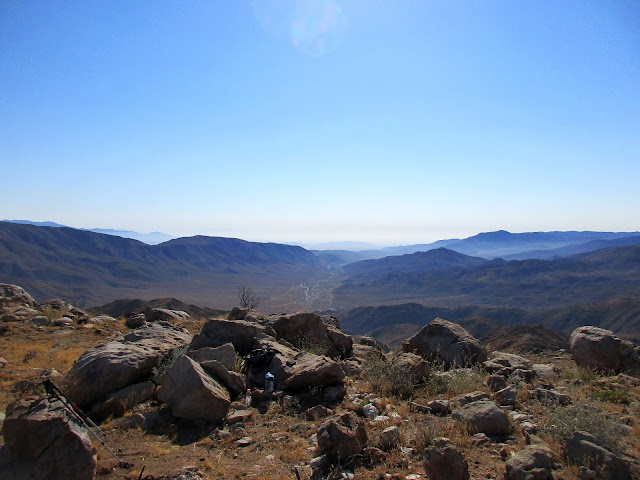
From the top of the false summit, we got our first glimpse of Grapevine Mountain not far away and looking very attainable. In a short time, we reached the summit and admired the better than expected 360 views. Earthquake valley, the Palomar Observatory, Granite Mountain, Whale Mountain, Cuyamaca, and distant Toro were all visible from the perch we had on Grapevine. Mike and I signed the register and noted the obvious benchmark and two nearby reference marks. While the sharp things were omnipresent, fox tails proved more troublesome. I spent some time removing the grass and other debris that filled my socks and shoes. I had to repeat that exercise a few times before the day was over. Ankle gaiters would have helped. After I finished taking photos, I stumbled on a small summit boulder falling forward into the boulder in front of me. I stopped myself with my left shin and right palm. My shin immediately swelled a little and blood oozed from both spots but neither hampered my ability to move. There was more damage to my ego than anything else. A temp check indicated it was in the low 90s. We halfheartedly kicked around the idea of hitting provisional Peak 3813 on the way back but decided against it. The heat was going to increase.
On the way back, we scrambled down a gully to the PCT, slightly askew from our ascent track. The gully did offer deer or sheep bones and more light scrambling as entertainment. As we descended, the heat grew quite intense. We stopped for short breaks in the few shady places we found. Instead of taking the ridge shortcut down, we continued along the trail until it intersected a use trail back to the parking lot. Back at the car, the final temp check of the day read 111. It was probably a little high since the car had been sitting in the sun for a couple of hours. My guess is it was only in the low 100s. Still, skipping Peak 3813 turned out to be a good call since spending another 30-45 minutes in the rising heat would have been, at the very least, uncomfortable. On the drive back, I discovered one additional parting gift: a quarter inch thorn completely buried in my calf. I removed it with a combination of pliers and artful digging. Well worth it to push my P-index to 129.
Mike took this 360 photo on the summit


"My guess is it was only in the low 100s."
ReplyDeleteLol. You're a freakin' animal Keith.
Madison,
DeleteI smelled like an animal after this one, haha.