Distance: 2.2 miles round trip on use trail
Summit Elevation: 2036'
Prominence: 1066'
Elevation Gain: 1213'
Elevation Gain (in Empire State Buildings): 0.97
Round trip time: 1 hour 20 minutes
Recommended water: 32 oz.
Parking/Fees: Free on Kanan Road
Difficulty: Easy (scrambling required)
Caution: There are parts of this hike that require using your hands for balance and scrambling over rocks and loose dirt. Not family friendly.
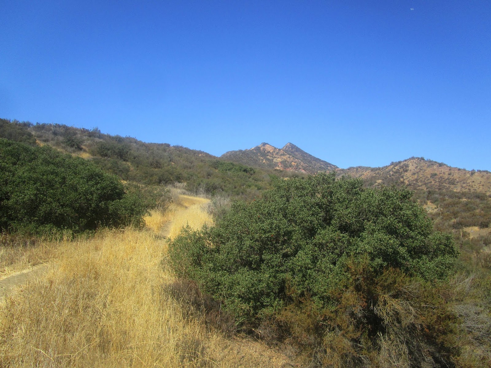
I had a long drive home from Gaviota Peak, so I found this small bonus hike that could also break up my drive. It is in Agoura Hills just south of Ventura, only a mile or so from highway 101. The profile of this small peak is supposed to resemble a lady's face, ergo Ladyface, but unlike Indianhead, I had a hard time seeing it. It also sports more than 1000' of prominence. There is a well traveled use trail starting from Kanan Road. A dirt strip turn out on the right side of the road at the trailhead accommodates 5-6 cars. There was only one other vehicle parked there so I had no issue. At the beginning, it looks like there are two big bumps with the summit being the second bump, but that was misleading. I passed the first bump and got a good look at the second. The direct route had about 25' of legit class 3, an unexpected and pleasant surprise. There was a bypass trail to the left, but it looked more sketchy than going up the good volcanic rock. At the top of the second bump, it became clear that it was a false summit.

Ladyface from the road, do you see a face?
Starting out, false summits ahead

Nearing the second bump

Route

Looking back at the first bump
The third bump, had it been the summit, could have been another nice section of class 3. However, as I got near, I saw the use trail leading around it to the slightly higher true summit further along the ridge. The true summit required no climbing. I continued over it a short distance to make sure it was the top and to look around for any markers. I didn't find any and I didn't find a register. I suspect this fun, short, ridge scramble is very popular in the area. I returned to the summit to relax and enjoy the scenery a few minutes before starting back. The views were nice, though my photos were a little polluted from the bright light. This hike was fun and salvaged an otherwise lackluster day.

Third bump was another false summit

True summit

A cut pole marker and an empty hole on the summit

Continuation of the ridge, nothing higher

Looking east at Agoura Hills and the 101

Looking west

The summit is only 2036' not 2101', GPS error

The best part of climbing Ladyface is going to Ladyface afterwords. http://ladyfaceale.com/
ReplyDeleteMadison,
DeleteScore! I didn't know that place existed, though it would have made for a dangerous drive home, haha. It's right in the shadow of the mountain.
Hi! I appreciate your trail review, but would you consider changing your rating from easy to difficult. Most of us hikers know that Ladyface is not an "easy hike" and I'd hate for a beginner to choose it based on your rating and get themselves stuck in a really dangerous situation. Ladyface is only for experienced hikers only. Thanks!
ReplyDeleteChristine,
DeleteI respect your viewpoint and taking the time to comment. It's easy to lose perspective when the range of skills is so wide among hikers. What seems easy to me might seem difficult to someone else. I was reminded of that two days ago when I hiked with an elite athlete on what I thought was a tough cross country adventure and he barely broke a sweat.
Based on the distance, gain, terrain, and altitude, I still think it falls into an easy category, but I did note that scrambling was required and put a caution at the top of the post. That, plus your comment and the photos should allow people to make a good decision in line with their abilities.