Hiked: 7/17/2016
Distance: 9.3 miles round trip on trail and cross country
Summit Elevation: 8850' (Hawkins), 8505' (Middle Hawkins)
Elevation Gain: 1753'
Elevation Gain (in Empire State Buildings): 1.40
Round trip time: 4 hours 50 minutes
Recommended water: 80 oz.
Parking/Fees: Adventure Pass
Difficulty: Moderate (Combined)
The high country along Angeles Crest Highway is widely considered to be the "nice" part of the San Gabriel range. Large conifers dominate the forest and thorny chaparral common at lower elevations thins out leaving a more inviting landscape. Leisa and I headed out from Dawson saddle for a couple of HPS peaks.
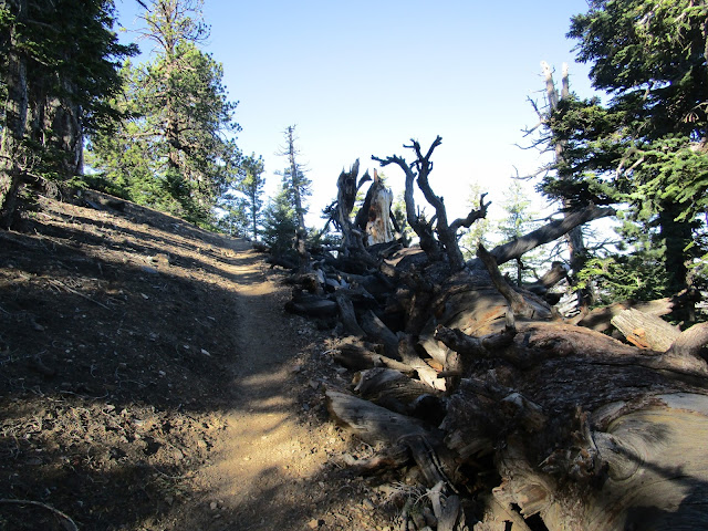
We followed the trail to the PCT and headed toward Little Jimmy Campground, planning to hit Mt. Hawkins. The air was cool but not cold. There was one other party on the trail, but they were headed for Baden-Powell so they went the opposite direction at the PCT junction. We followed the trail up and around Throop Peak, then down as it followed the ridge. When we found a use trail branching toward Mt. Hawkins, we left the PCT. It was a relatively short climb from this side of Mt. Hawkins. At the summit, we poked around but didn't find a benchmark or register. There were great views of Mt. San Antonio from the back side and looking the other way, the high desert. We descended the steeper and longer use trail going down the other side to get back to the PCT.
Back on the PCT, we went around a large unnamed bump to the junction with the use trail for the other Hawkins family peaks. We took the use trail and were soon looking up at the rocky north slope of Middle Hawkins. I walked right past the summit use trail on the north side, even though it was right where it should have been. I led us along the use trail on the east side. When we got near the south ridge, I decided it was as good a place as any to go up. It wasn't a pretty ascent line but it got us to the top. As on Mt. Hawkins, Middle offered no benchmark or register. From the top of Middle Hawkins, we found a faint use trail and took it down the south ridge. Beyond that, the trail faded in and out, but navigation was not tricky. You simply stay on the ridge. Not far past Middle Hawkins, we came across a large rock outcropping. We stopped for a break and I climbed up the outcrop. Unfortunately, Leisa started developing some mild AMS and was not feeling well. We decided to head back instead of continuing down the Hawkins family tree. On the way back, we both collected socks full of annoying foxtails, but her AMS started to subside. The rest of the Hawkins family will be there for another day.


Sadie and South have eluded me as well. One of these days...
ReplyDeleteMadison,
DeleteThe ridge seemed pretty friendly. For the last two, it might be easier to go to South Hawkins first, then up to Sadie. As you said, one of these days.
Hey great right up. I’m planning on making this #14 of the 23 Peaks over 8,000’ here in the San Gabriel Mountains. I hope to make it to Sadie and South Hawkins as well
ReplyDeleteUnknown,
DeleteYeah, I had to go back for Sadie and South and did a loop from Crystal Lake. That is such a nice area.