Hiked: 3/18/2016
Distance: 3 miles round trip on trail and use trail
Summit Elevation: 3985' (La Cumbre), 3333' (Cathedral), 3250' (Arlington)
Prominence: 1010' (La Cumbre), 383' (Cathedral)
Elevation Gain: 1800'
Elevation Gain (in Empire State Buildings): 1.44
Round trip time: 3 hours
Recommended water: 56 oz.
Parking/Fees: Free on Camino Cielo
Difficulty: Moderate
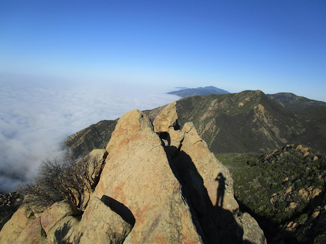
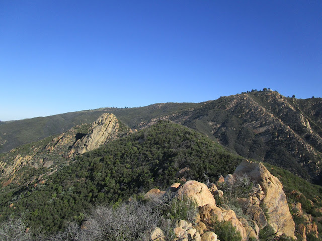
After the short hike to Montecito Peak, I parked below La Cumbre Peak (translation: the top) and walked up the paved road to the tower. These are the Santa Ynez Mountains within the Los Padres National Forest. While I was checking out the tower, a Cox Cable tech drove up in a truck to do some maintenance on one of the communication links. I found the benchmark for La Cumbre and noticed there was a portable restroom nearby. I took some pictures of Cathedral Peak and Arlington Peak then went down the road to locate the trail. The largest set of boulders below La Cumbre is not the right way. The trail is further to the right and passes by three large white satellite dishes. It drops almost 1000' to a saddle, about half of that over class 2 boulders.
The climb up to Cathedral Peak from the saddle is aided by small trees, some trimmed back from the trail. These trees are also useful on the way down, but look out for occasional patches of poison oak. Some minimal route finding is needed around the rocky parts of the ridge. A use trail heads up the east face of Cathedral Peak. About 15-20' of class 3 is required to reach the summit where the ammo boxes and registers are stored. I found six mostly full registers and ended up signing in wherever I found an open spot, even though it put my entry out of date order. Cathedral is a super popular peak and it should be due to the fun factor. I couldn't find any benchmarks. After taking photos and some video, I had some extra time so I decided to continue on to Arlington Peak at the end of the ridge line. The trail to Arlington was clear and easy. I poked around the highest boulders and came up empty on both a register and benchmark. With the marine layer still strong, the view wasn't much different than it was from Montecito. Looking back, the west side of Cathedral Peak was quite dramatic. I finally started my return and found the hardest part of the hike was the 1000' climb back to La Cumbre. Even with Arlington as a bonus, I finished ahead of schedule, then took my place in the snail-like line of cars on the 101 south.


how difficult is cathedral peak? I have no climbing experience or training. Lots of people claiming it's so difficult, but they said that about Rattlesnake peak and I didn't think it was so bad. What's your take? Dangerous climb?
ReplyDeletealso, I see this route. is it less treacherous? http://www.peakbagger.com/map/BigMap.aspx?miny=34.486408&maxy=34.49551&minx=-119.717491&maxx=-119.712471&t=A&d=641703&l=L_CT|L_MT|L_AG|L_OS&c=7384&hj=0
ReplyDeletejoe schmoo,
DeleteThat is the route I took, descending from La Cumbre. I don't think any of the routes are treacherous. If you look at the photos above, you'll see the class 3 section on the north side of the summit. It is 15-20' and has solid holds. I took a couple of beginner classes at a local climbing gym to get the basics down.