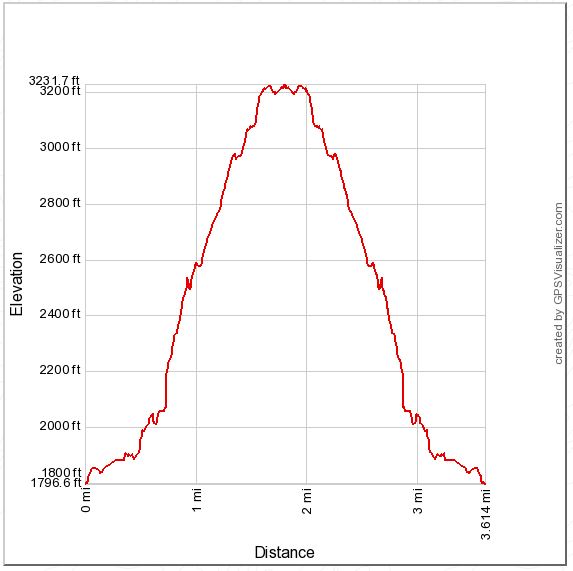
Distance: 3.6 miles round trip on trail
Summit Elevation: 3207'
Elevation Gain: 1450'
Elevation Gain (in Empire State Buildings): 1.16
Round trip time: 1 hour 45 minutes
Recommended water: 32 oz.
Parking/Fees: Free on Rubio Vista Road
Difficulty: Easy
Echo Mountain was one of my first hikes and the first mountain I entered into peakbagger. Unfortunately, I didn't save any photos before I started the blog so I wanted to document it as one of the official Lower Peaks. To avoid the crowded Sam Merrill Trail, I chose to go up the Mt. Lowe Railway Trail that ascends from Rubio Canyon. The trailhead is on Rubio Vista Road and starts on the left side of a house at the end of road.
Within a quarter mile of the start, you reach a trail junction with the Sam Merrill connector trail going up on the left. You could use the connector to make a loop hike. To get to the Mt. Lowe Railway junction, continue along the trail to the right. It switchbacks up the ridge line with burned railroad ties and other bits of history along the way. As you gain altitude, the upper reaches of Rubio Canyon open up on the right. The canyon looks like it would be an interesting and difficult hike. As I climbed, I found it hard to believe the old rail system hauled people up the ridge at such a sharp angle (up to 62%! according to Wikipedia). A number of use trails branch off the main trail, but they look like use trails so there is little chance of getting lost. After a short 1.8 miles, you reach the top of Echo Mountain and the ruins of the old hotel. Just below the summit on the other side are large iron pieces of the railway on display. After looking around and a short break, I returned along the Mt. Lowe Railway Trail.

Rubio Canyon Trailhead

Sam Merrill connector trail to the left

Short switchbacks on the Mt. Lowe Railway

Some remains of the rail system

Upper Rubio Canyon

Plaque with info on the Mt. Lowe Railway, near the top

Echo Mountain summit and hotel ruins

Downtown Los Angeles through some mushroom soup colored smog

Verdugo Mountains on the left, Mt. Lukens on the right

Railway machinery

Hmmm. Never done Echo from the Rubio side. Looks steep. Agree that lower Sam Merrill is a freeway. Middle Sam Merrill, however, is one of the nicest stretches of trail in the front range IMO.
ReplyDeleteMadison,
DeleteIt is pretty steep, about 1000' the last mile, but the trail is in great shape. It would make a great loop with the Sam Merrill, kind of wish I had done the loop now.
The trail from echo mountain down to rubio canyon has become washed out, and is unmaintained and unsafe. I would avoid it! At some points, the trail appears to end, there are many steep slippery cliff edge passes, some portions have collapsed and are nearly impassible, and it is overgrown for long stretches. It looks like it may have once been a fun trail but now it's dangerous.
ReplyDeleteUnknown,
DeleteThanks for the update on the trail condition. There is always the maintained Sam Merrill trail.