Distance: 1.7 miles round trip on trail
Summit Elevation: 1560' (above the falls)
Elevation Gain: 300'
Elevation Gain (in Empire State Buildings): 0.24
Round trip time: 1 hour
Recommended water: 16 oz.
Parking/Fees: Adventure Pass
Difficulty: Easy
Parker and I made a short excursion to another local waterfall. Tenaja Falls in the southeastern Santa Anas is large and multi-tiered. The hike is easy and relatively popular, but the drive is long unless you live in the Lake Elsinore area. From Orange County, there are three ways to get to the other side of the Santa Ana Mountains.
- You can go around the mountains to the north via highway 91, then south on I-15 to Clinton Keith Road.
- You can go over the mountains via highway 74 (Ortega), then south on Grand Ave to Clinton Keith Road. As an alternative, you can turn right on South Main Divide Road and take it to the dirt Wildomar Road (7S04) and get to the trailhead from the north. The quality of Wildomar Road is unknown.
- You can go around the mountains to the south via I-5, east on highway 76, then north on I-15 to Clinton Keith Road.
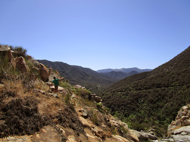
I was surprised to find no one else at the trailhead. Near the start of the trail is a wide stream crossing. I tested the thin line of rocks across it and they were unstable. We followed a path to the right that led to an easy crossing and got us back on the main trail. There was a lot of poison oak just off and sometimes in the trail near the start. In about a half mile, the trail opens up to a full view of Tenaja Falls. I knew it would only be a trickle during the drought, but could tell it would be something special in full flow. A couple had joined us on the trail and we arrived at the top of the falls about the same time. There was a benchmark at the top, but it was too scratched up to read the marking. Parker played near the top seeing how far down he could throw rocks, while I scrambled around a little to take some better pictures. We hung around the top a while enjoying a welcome breeze before heading back the way we came.
Update: 2/10/2019
I made a second trip during the rainy season and hiked to the bottom of the falls. I took the main trail up to the first hard left about half way up. There is a wrecked car below the trail and a use trail that drops all the way into the canyon, where an old tire marks the way out. There is a decent use trail up stream until the last few hundred feet where some light scrambling is required to reach the base of the falls. The next tier up below the major waterfall is an easy class 2 scramble on the right side. Since it had been raining, the rocks were soaked and slippery. The water was flowing nicely.


No comments:
Post a Comment