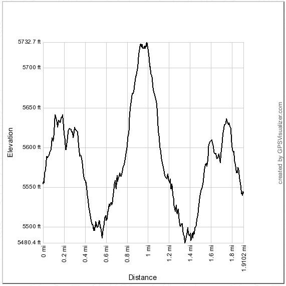
Distance: 1.9 miles round trip on use trail
Summit Elevation: 5732'
Prominence: 612'
Elevation Gain: 550'
Elevation Gain (in Empire State Buildings): 0.44
Round trip time: 1 hour 20 minutes
Recommended water: 24 oz.
Parking/Fees: Adventure Pass on Mt. Wilson Road turnout
Difficulty: Easy
After Newcomb, I drove to a turnout near the KCBS TV towers for a quick hike up to Occidental Peak. Occidental is an HPS peak, but not much of a challenge, being only a short distance from Mt. Wilson. Still, it would extend my workout from Newcomb a little. I went up an embankment, then followed the fence line up to the heliport. On the other side of the heliport is a use trail that sidehills along the north side of the ridge a few hundred feet above the road. A fall on the wrong side of the trail could end in a long and unpleasant tumble, but the trail is in good shape, making that unlikely. Some minor ups and downs eventually lead to the summit, mostly surrounded by trees. In the few angles where good views might have been, I saw only dense cloud cover. A new register book had been placed in July, 2014, so it was rather sparse. I autographed it and lamented the clouds before heading down.
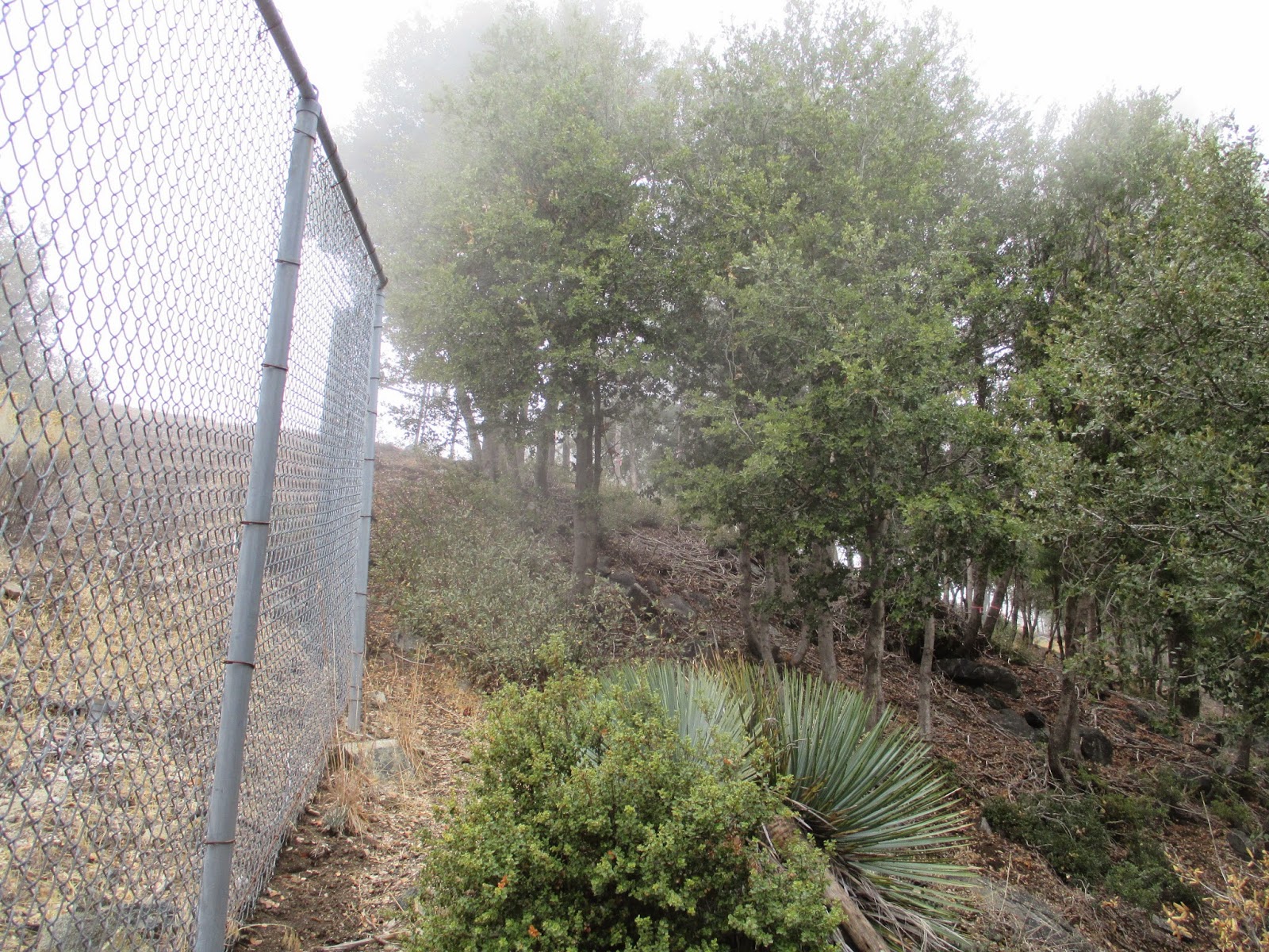
Following the fence at the start, clouds surrounding the mountain

Heliport above the TV towers

Shadows on the mountains

Lush

Summit register in an unusual can

Occidental summit, surrounded by trees

No comments:
Post a Comment