Route 3 San Gabriel Mountains
Distance: 15.5 miles round trip on trail and cross country
Summit Elevation: 5476' (Condor) and 5033' (Fox)
Prominence: 600' (Condor) and 473' (Fox)
Elevation Gain: 4100'
Elevation Gain (in Empire State Buildings): 3.28
Round trip time: 8 hours
Recommended water: 184 oz.
Parking/Fees: Adventure Pass
Difficulty: Strenuous
My original plan was to climb Mount San Gorgonio, but a second winter storm left the top 2000' in a blanket of snow and ice that I was not prepared to tackle solo. The backup plan was Condor Peak (from Vogel Flat off Big Tujunga Canyon road) north of La Crescenta. I added Fox Mountain #2 since the peak was only a short distance off the main trail. Both peaks are on the Sierra Club's hundred peaks list for Southern California. I was looking for a tough hike and was not disappointed. It was a long, hard day that left me spent.
The Condor Trail was closed after the 2009 station fire and only reopened in May, 2012. It was in mixed shape. Many parts were in good shape, but other parts were completely overgrown with grass or shrubs. There were a number of places that were washed out and a burnt tree had fallen over the path at one point (see below). I kept checking for ticks at every stop but didn't find any. In the spring, this trail may be a tickfest. On the way back, I met one other solo hiker heading up. I found a lot of bighorn sheep tracks on the trail, but no other wildlife of note. Weather was perfect, unusually warm for this time of year.
The ascent to Fox Mountain summit is steep over soft dirt. Poles are handy for this one. In contrast, the ascent to Condor Peak is a steep rock scramble and poles get in the way when you need your hands to grab nearby rocks. When I got to the Condor ascent, I hesitated and did some mental math on my odds of making it up and down without an accident. After a few minutes, I decided to proceed, slowly.
Both of these peaks exemplify my favorite kind of hike. There is no road to the top and no shortcuts. The shortest route is at least 10 miles round trip for each. The other routes are in the 14-16 mile range. The only way to make it to the top is with blood, sweat, and determination. I was happy to sign both summit logs the same day.

Condor Peak (left) and Fox Mountain (right) from early on the trail. Far, far away.

A downed tree blocking the trail. I crawled under.

Found these sunglasses in a bush along the trail.

The sun rising over Fox Mountain summit
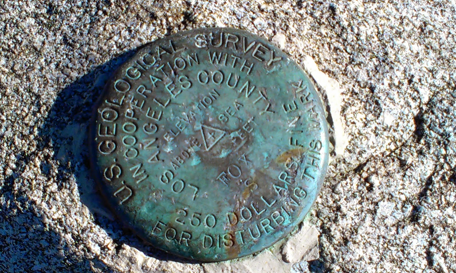
Fox benchmark

Strawberry Peak (left) and Josephine Peak (right) from Fox Mountain summit

Approach to Condor Peak summit. The trail gives up a few hundred feet of elevation before taking it all back on the ascent. The final ascent looked a little dangerous, but looked worse than it was.

Looking back at Fox Mountain (center) from Condor Peak.

Mt. Wilson from Condor


Would you like to know more?
No comments:
Post a Comment