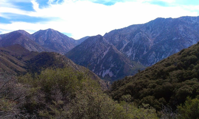
Hiked: 9/28/2012
Route 1
Distance: 4.5 miles round trip on use trail and cross country
Summit Elevation: 6812'
Prominence: 132'
Elevation Gain: 2900'
Elevation Gain (in Empire State Buildings): 2.32
Round trip time: 3 hours 30 minutes
Recommended water: 80 oz.
Parking/Fees: Adventure Pass
Difficulty: Moderate
Lookout Mountain #2 is a smaller peak near Mount San Antonio that was used in measurement experiments of the speed of light in the 1920’s. There is no official trail up the mountain, just firebreaks on two of the ridge lines and a use trail. The use trail is in fair condition, but I found it washed out in several places on the first leg, increasing the danger of a slide. Although the total distance is short, the elevation gain is severe in spots. I wanted to do this one to improve my navigational skills. I had to backtrack a couple of times on the way down, but never wandered too far off course. I was hoping to spot some bighorn sheep on the back side of Lookout, but saw none. Like Smith Mountain, I was the only human around. No one else was within miles.
The yucca plants drew blood twice and I lost my prescription sunglasses along the way. The back side of the bump is shaded and I put my sunglasses up on my hat. At my first rest stop, I noticed they were gone, and didn't find them on the way down. This was an expensive hike!


No comments:
Post a Comment