Distance: 9 miles round trip on trail and use trail
Summit Elevation: 3920'
Prominence: 700'
Elevation Gain: 2064'
Elevation Gain (in Empire State Buildings): 1.65
Round trip time: 4 hours 40 minutes
Recommended water: 64 oz.
Parking/Fees: Free at turnout on Lake Morena Drive
Difficulty: Moderate
A couple of weeks ago, I bruised my right knee. The bruise faded in a few days, but the knee didn't feel 100%. Last week, I went to the gym and tweaked it hard lugging dumbbells around. I had been invited on a canyoneering trip down Big Santa Anita Canyon and did my best to rehab in time. I iced it morning and night and wore a compression sleeve to work. The first day it hurt just to walk normally. The night before the canyoneering trip, I had to pass because it wasn't ready for serious off-trail work and rappels. Until now, I'd been lucky and hadn't had to deal with injuries. It was very frustrating, compounded by the slow healing that comes with age. I looked for a consolation prize with a trail. Morena Butte, #52 on the SDC list, seemed reasonable.
I drove to the turnout on Lake Morena Drive where the PCT passes by. There were two parking areas. One might be inside Lake Morena Park and the other one just outside. I parked in the outside turnout and started up the very smooth trail. It wasn't long before I got a look at Morena Butte. The trail wanders over the intervening ridge. Sometimes the trail moved parallel to the Butte and sometimes away from it, but eventually it went over the ridge into a shallow valley. The PCT then climbed up to the south ridge where a use trail leads up. The use trail was in good shape with plenty of cairns. It goes over to the west side of the butte and climbs behind the south summit ending at the giant south summit slab. It was easy to get to the highest boulder on the south summit where I found a tiny register in a tin can. It looked more like a geocache than summit register. Signatures went back to 2007. I found a spot to sign in and flipped through it, not finding many familiar names.

Morena Butte near the start

South summit (left), Sierra Club summit (right)

The west summit from the south summit (high point), tin can with register visible
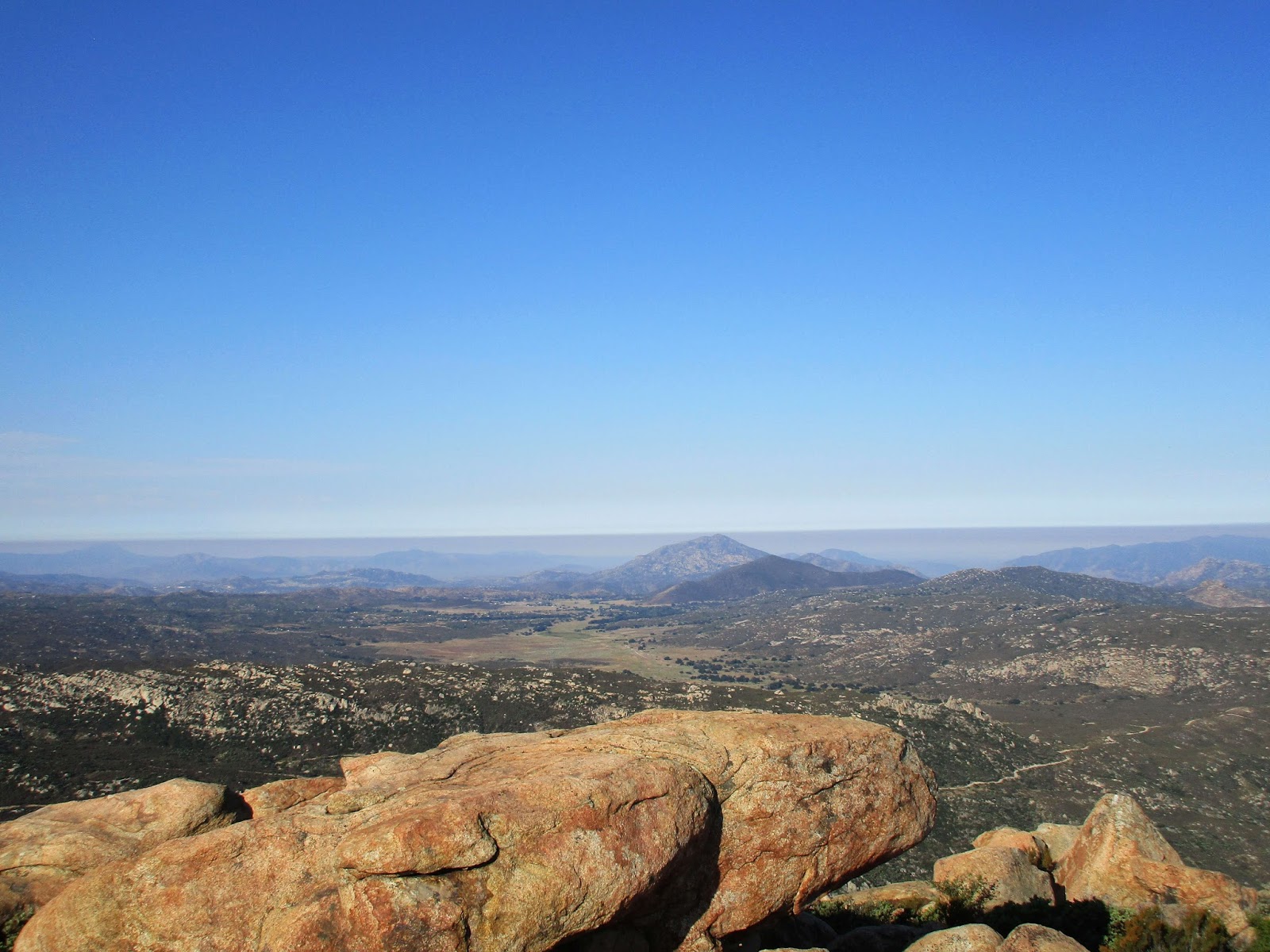
Looking south to Tecate Peak

Tiny register on Morena Butte South
The Morena Butte summit is a three-headed snake, but only two are listed in Peakbagger. None of the heads are venomous. The south summit was the highest. I followed some cairns down the giant slab and into the shrubs on the way to the Sierra Club summit. There I found the official Sierra Club full-sized register. I signed in and found more names I recognized than from the tiny register. The north summit doesn't have the best views but it does have a great view of Lake Morena and Morena Reservoir. I only stayed a short time before packing up and heading toward the west summit. I didn't find a use trail over to it, but the brush was thin and not even waist high. I made short work of the trip and followed some cairns to the top where two boulders could argue for the high point. The northern most boulder looked like it might be higher. It was a 10' class 3 rock covered in bird poo. I started climbing, but saw a swarm of flying red ants on the top that I would have to disturb to stand on it. I decided to leave them be and check out the other boulder. To my surprise, there was a plaque set in the boulder. Some kind of ode to friendship signed "KMRJDE". The Internet didn't turn up anything on the plaque. The west summit has especially good views into Hauser Canyon. I didn't find any benchmarks anywhere. I could have returned on a different trail to make a loop, but instead returned to the south summit and followed the PCT back to the car. All three summits are worth a visit and without much additional effort. My knee held up with minimal pain. I think it's on the mend.

Looking north to the Sierra Club summit

Sierra Club register

Morena Reservoir and Morena Lake

Looking at the west summit

Hauser Canyon from the west summit

West summit boulder

Friendship plaque

Looking down from the west summit boulder

Heading back to the South summit

Traversing the south slab back to the use trail


No comments:
Post a Comment