Distance: 2.5 miles round trip on trail
Summit Elevation: 2081'
Elevation Gain: 1260'
Elevation Gain (in Empire State Buildings): 1.00
Round trip time: 1 hour 10 minutes
Recommended water: 24 oz.
Parking/Fees: Free on Sierra Madre Ave
Difficulty: Easy
Yet another week with limited time restricted my targets to short hikes. I intended to visit Sunset Peak in the San Gabriels, but the rangers had the gate closed. I spoke with one who told me it was because of fire danger from the Santa Ana winds, but it may have been due to the ongoing federal government shutdown. I knew National Forest gates would generally be closed, but Glendora Ridge road is a major paved road and I never noticed the gate there.
I had to descend out of the mountains to get a cell signal again, then hunted for a nearby short peak. I found Azusa Peak about 15 minutes away and set my phone nav to get me there. I drove by the Los Angeles fire station where Garica Trail starts and had to turn around to park. The trail gains elevation briskly and never lets up much. While steep, the trail is very short and I was standing on top of Azusa Peak in 40 minutes without pushing myself. The trail was crowded with hikers of all abilities, and a few dogs. You hike near the big "A" (for Azusa I suppose) on the side of the mountain and with a short side trip, you can descend another ridge to get to it. Being time constrained, I was content to bag the peak and return.

Garcia Trail start in front of the fire station

Looking down on the fire station at the start

The big "A" on the mountainside

Cross at the Azusa Peak summit

View of the San Gabriels from Azusa Peak
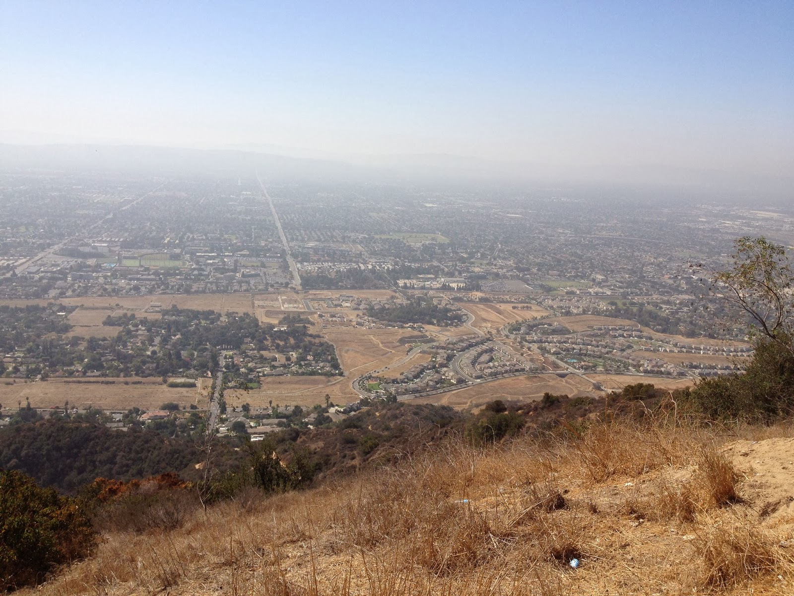
Azusa and Glendora through the haze from Azusa Peak

Descending from the peak

No comments:
Post a Comment