Wednesday, May 13, 2015

Burnt Mountain

Hiked: 5/12/2015
Distance: 8.7 miles round trip on trail and use trail
Summit Elevation: 2135'
Elevation Gain: 1400'
Elevation Gain (in Empire State Buildings): 1.12
Round trip time: 2 hours 40 minutes
Recommended water: 64 oz.
Parking/Fees: Free at Daley Ranch Parking Area
Difficulty: Moderate

update: I've been informed the peak itself is considered off limits so I can't recommend making this climb. Stanley Peak appears to be directly on trail as an alternative and the park itself is worth a visit.

Burnt Mountain in San Diego County is the high point in Daley Ranch, a 3,058-acre park maintained by the City of Escondido. I started at the La Honda Drive parking area, though a shorter route is possible from Cougar Pass Road. Daley Ranch is open dawn to dusk and parking is free as far as I can tell. I started up the paved Ranch House Road and got a good view of Stanley Peak as I reached the top of the first hill. Stanley is accessible from this trailhead, but it would have to wait for another day. I branched left on the dirt Boulder Loop trail, taking the longer leg. I saw a couple of hikers going the other way and a couple of equestrians on the East Ridge trail. The terrain is typical boulder strewn rolling hills in northern San Diego County, something I happen to enjoy. I took another left at the Cougar Ridge trail, then right on the Engelmann Oak trail. There are a lot of little ups and downs on the route. Once I was near Burnt Mountain, I looked for a way up along the ridge but the faint trail I followed ended abruptly.


Daley Ranch entrance at La Honda Drive


Stanley Peak, water tank below the summit


Junction of Boulder Loop and Cougar Ridge trails


Approaching Burnt Mountain

I found a well established use trail past an open area with tall grass, so I didn't trample any vegetation. There are a couple of tricky turns around some boulders and slabs, and light scrambling was needed in a few places. The summit had some interesting boulders and three marks. The benchmark and two reference marks were all within a 50' circle. The register was at the actual high point in a cluster of boulders about 10' higher than the benchmark. Inside the register were several loose scraps of paper. I signed the one with Mike Sullivan and Bob Burd on it. This peak could use a real register. There were fine views all around on this sunny day. I jogged the downhills on the way back resulting in a brisk (for me) 3.2 mph average pace.
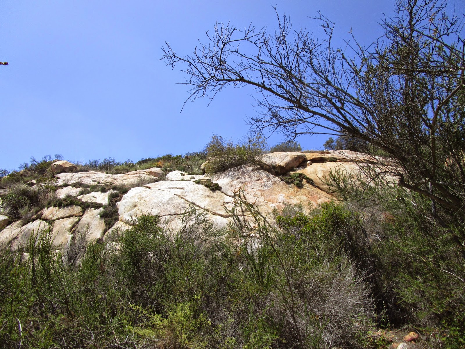

Slabby


Flowers and boulders on use trail


Reference Marks No. 1 and 2. Mark No. 2 is wet with my sweat.


Burnt benchmark placed 1939


Lower summit area with benchmarks


Register at the high point


Saturday, May 2, 2015

Redrock Mountain Loop

Hiked: 5/1/2015
Distance: 12.3 miles round trip on trail and cross country
Summit Elevation: 3991'
Elevation Gain: 2500'
Elevation Gain (in Empire State Buildings): 2.00
Round trip time: 7 hours 30 minutes
Recommended water: 120 oz.
Parking/Fees: Adventure Pass
Difficulty: Strenuous (returning via Redrock Canyon)

Redrock Mountain lies just north of Castaic Lake, a solid hour north of LA. Sean, Cecelia, and Dima joined me on this Lower Peak bagging adventure in the northwestern Angeles National Forest. I picked everyone up at a park and ride and we found our way to the trailhead at a locked gate four miles down Templin Highway. You start past the gate down a paved road that soon turns to dirt as it heads up Fish Canyon. In 2.5 miles and several easy stream crossings, it leads to the old Cienega Campground where concrete restrooms are still standing. No one used the facilities, so what kind of shape they are in remains a mystery. A single track trail continues up canyon north of the campground. Until you reach the high cliffs of the narrows, the trail is mostly level. Then it leaves the canyon on the left and starts ascending switchbacks moderately toward the Redrock Mountain saddle.


Heading into Fish Canyon


Approaching Cienega Campground


First view of Redrock Mountain


Looking back down Fish Canyon


Approaching the outcrops on the ridge

From the saddle, a use trail climbs a steep, loose ridge past two prominent rock outcrops to the Redrock Mountain summit. The summit is some 800' above the saddle, gained in roughly a half mile. There are a couple of unnamed higher bumps along the ridge. The ridge use trail goes to the right of the first outcrop and left of the second. We scrambled a little on the lower outcrop before getting back on the trail. Dima was first on the summit filled with namesake red colored boulders. The benchmark was in pristine condition despite being set in 1930. We all did our summit rituals, enjoying very nice 360 views. The register had a small number of entries and went back more than 10 years. This mountain seems mainly of interest to peakbaggers. While reading the register, Dima noted one group had completed a loop with Redrock Canyon as the other segment. We kicked around the idea of returning that way, facing some unknowns in that canyon. The consensus was to tackle the loop.


Dima on the first major rock outcrop


Redrock Mountain benchmark 1930


Cobblestone Mountain in the Los Padres National Forest


Sean and Cecelia on the summit


Peak 3263

After descending to the saddle, we continued along the trail away from Fish Canyon and turned left at a junction that led down into Redrock Canyon. Coming down that way gave us spectacular views of peak 3263 with red and tan strata. There were also giant gray rock formations visible in the canyon. The trail ended in a small stream and we started our trek through the unknown. The canyon was mostly clear at first, then started to get clogged with trees, boulders, and poison oak. We tried following some trail bypasses, but soon found ourselves out of the canyon in deep vegetation with thorny brambles and hungry ticks. We found our way back to the canyon and made slow progress through the wild upper section. I became concerned about time, since I needed to let my wife know I would not be able to pick up our son. At one point, I wanted to turn around and head back but the group convinced me to push forward. Fortunately, the worst was already behind us. The canyon opened up a little and offered some short waterfall down climbs and entertaining formations. With about a mile and a half to go, where Falls Creek joins Redrock Canyon, we found a use trail marked with cairns and ribbons leading the way out. This saved us a good amount of time and trouble.


Into Redrock Canyon


Sean and Cecelia fighting through some evil greenery


Wild upper section of Redrock Canyon


Dima on a section of smooth rocks


Large conglomerate boulders in a fun section with 10-15' waterfalls


Down climbing one of the small waterfalls


Following the use trail out

Photosphere from the summit of Redrock Mountain


Friday, April 17, 2015

Chiquito Falls

Hiked: 4/17/2015
Distance: 9.3 miles round trip on trail
Summit Elevation: 2390' (at Chiquito Falls)
Elevation Gain: 1550'
Elevation Gain (in Empire State Buildings): 1.24
Round trip time: 3 hours 15 minutes
Recommended water: 72 oz.
Parking/Fees: Adventure Pass
Difficulty: Moderate

It wasn't my goal to hike to a half dozen dry waterfalls this year, but that's how it is turning out. I wanted to the explore the Santa Ana Mountains further and this trip fit into my shortened day, having volunteered to run the photo booth at my son's elementary school fund raiser. The trailhead is the same parking lot as for the San Juan Loop just off Ortega highway. You can start either direction on the San Juan Loop to get to the signed junction with the Chiquito Trail. I started north and returned south on the way back. The junction with the Chiquito Trail is at nearly the midpoint of the San Juan Loop. It heads north following a shady creek for about a mile, then crosses the creek, turns southwest and begins climbing the hills. Once you are climbing on the south side of the hills, you come out of the shade into full sun. After climbing most of the way up the unnamed bumps, you traverse around, then start gradually descending into Lion Canyon toward Chiquito Falls. The trail itself is in great shape all the way to the falls, I would even say delightful. It racks up a little gain and passes a few interesting boulders strewn here and there but is never steep or difficult.


Chiquito Trail junction


Dead trees on the trail


The trail parallels this creek north


Climbing out of the canyon

As expected, the 15' Chiquito Falls was bone dry and looks like it has been dry for a while. With no water to splash around in, the only thing to do was climb it. It was on the easy side of class 3 and not as slippery as the other local falls, maybe because it is more seasonal. The Chiquito Trail continues north up Lion Canyon and eventually ends at the Viejo Tie junction. I was here for the falls so I started back after a short break. On the way back, I followed a use trail that looked like it led to the top of one of the unnamed bumps. However, when it disappeared a little below the top, I turned around. There was nothing on top of the bump worth a full bushwhack.


Chiquito Falls from the bottom, completely dry


Chiquito Falls from the top


Great Basin Fence Lizard in Lion Canyon


"Viking Horn" tree on the south side of the San Juan Loop


Saturday, April 11, 2015

Margarita Lookout

Hiked: 4/11/2015
Distance: Drive up
Summit Elevation: 3080'
Elevation Gain: 0'
Elevation Gain (in Empire State Buildings): 0.0
Round trip time: N/A
Recommended water: 0 oz.
Parking/Fees: Adventure Pass
Difficulty: Easy

After Tenaja Falls, I wanted to drive up to Margarita Lookout while we were in the area. I had hiked to Margarita Peak in 2013, but didn't have time to go over to the old abandoned lookout. Margarita Road climbs all the way to the summit of the lookout and I didn't think it would take that long to get there. I underestimated the quality of the road and had to drive slower than expected. I recommend a high clearance vehicle with 4WD on this road. Technically, it wasn't a drive up because we had to park about a half mile below the peak when the road turned really nasty. I saw tire tracks on the last half mile, but I didn't want to risk my 4Runner on those ruts and boulders. We made it to the top quickly where we found a tattered American flag, the base of the lookout tower, and the foundation of some other structure. There was no benchmark or register that we found. We had great views into Camp Pendleton and hazy views in the Santa Anas to the north, other ranges to the east and south, and the ocean. There was a hole in the concrete where the tower once stood that had been used as a trash bin. We played a game trying to land rocks in it from various distances before heading back, a game Parker won fair and square. I recorded a GPX track from the intersection of Tenaja Road and Cleveland Forest Road to help future hikers find their way through the winding dirt roads. You can grab it at Peakbagger.com under the Margarita Peak entry.


Margarita Lookout from Margarita Road (8S01)


Hiking the last half mile


Tower remains below the summit


Parker at the summit


Base of the old lookout tower


Hole in the concrete that has been turned into a trash bin


Looking down into Camp Pendleton, Pacific Ocean in the distance


Another day in the dirt