Distance: 7.2 miles round trip on dirt road and use trail
Summit Elevation: 5496'
Elevation Gain: 2704'
Elevation Gain (in Empire State Buildings): 2.16
Round trip time: 3 hours 45 minutes
Recommended water: 56 oz.
Parking/Fees: Free on Maple Springs Road
Difficulty: Moderate
This was a training hike for Leisa and I. We planned to follow the Sierra Club HPS route 4 to Modjeska starting at the end of the paved part of Maple Springs Road. It's usually too warm this time of year for this hike, but we had some June gloom and a forecast high of 65F. Nice hiking weather. We were the only ones parked at the bottom of Maple Springs Road. Before we got to the use trail, some dirt bikes passed us. We ended up seeing a dozen bikes and an equal number of 4x4s along the road. The first use trail looks like a drainage ditch and has not been maintained in a while. There was some poison oak and other light brush intruding into the trail. I made an effort to clear some of it as I passed. Modjeska was still shrouded in low clouds. We crossed the road to the second section, short and steep. The third section was fairly overgrown before we reached the major road intersection, though the trail was still visible. The brush was light and easy to push through for now, but this part of the trail could use some maintenance. Several trucks, jeeps, and motorcycles were gathered at the intersection talking their off road game. We descended the use trail from the ridge and walked on by to Main Divide Road. We took a short break before starting up the next part of the use trail cut into Modjeska proper.

Use trail start

1st road crossing
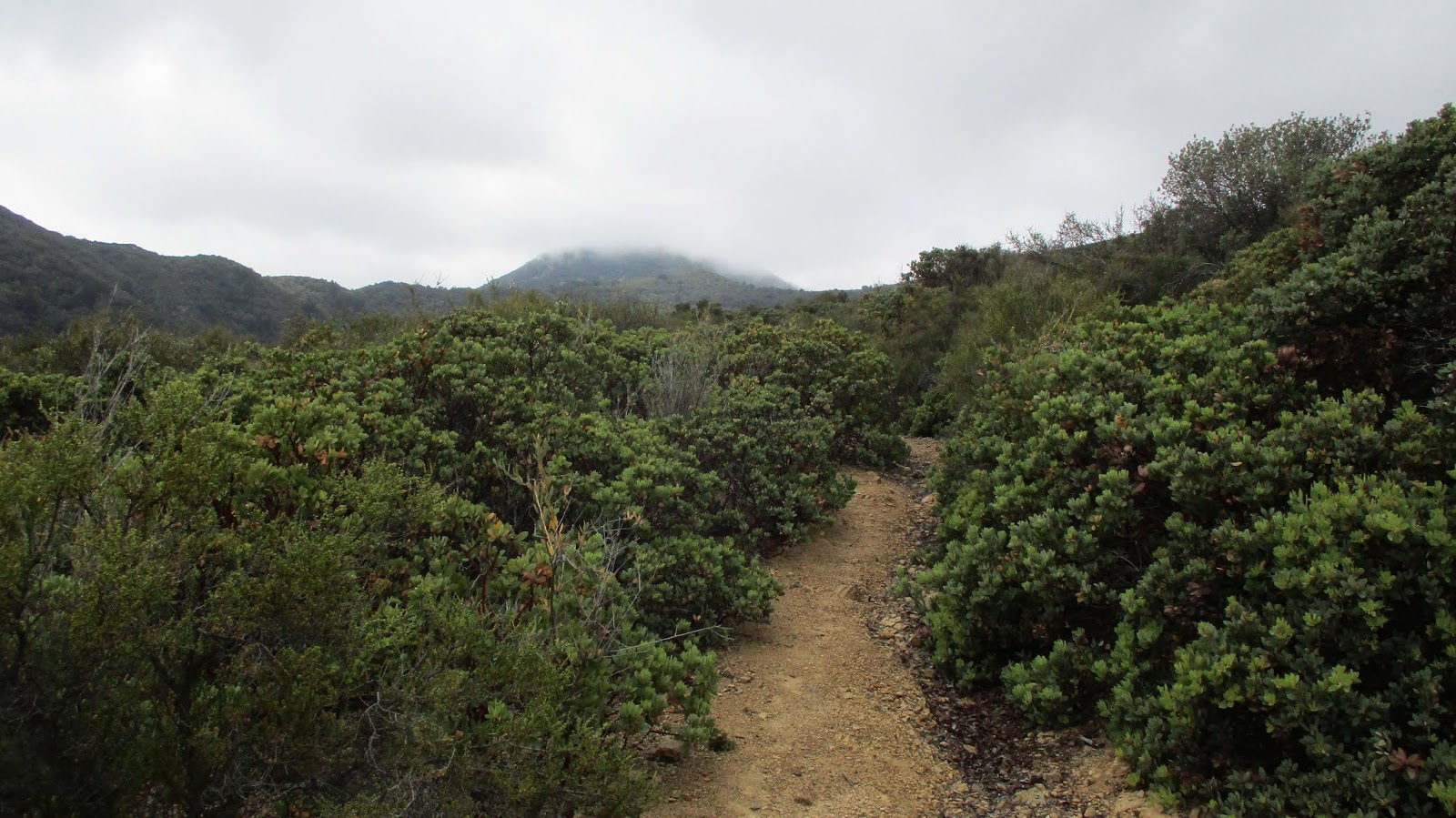
Modjeska hidden in clouds

2nd road crossing
Modjeska emerging from clouds

Looking back down the ridge

The upper use trail was clear and showed signs of recent clearing. The clouds has mostly burned off and Modjeska stood against a blue background. When we reached the road, we turned left then finished the climb up the ridge use trail. The OC benchmark and geocache that used to be on top were both gone. A wooden summit sign placed a couple of years ago was also cut and taken. Because this peak can be driven, it is more vulnerable to vandals, although the OC benchmark had been up there for years. Leisa was not interested in following me over the main summit to the USGS topo mark on the map, about 150' further. I didn't find any marks at the location, but there was another cluster of short, jagged boulders. I even continued down the other side of the boulders to look around, but there wasn't anything there. We decided to take the road down to meet the main use trail, then returned the way we came. This was my fourth summit of Modjeska and my fourth different route.

Upper use trail leaving Main Divide Road


Leisa near the top of the ridge use trail

Looking north, Lake Mathews on the right


Very cool
ReplyDeletelarry orabuena,
DeleteModjeska is one of my favorite summits in the Santa Anas, even though you can drive to it with a 4x4. Sadly, it might be closed for some time because of the Holy Fire.