HPS Star Emblem Peak
Hiked: 1/16/2017
Distance: 7.1 miles round trip on trail and cross country
Summit Elevation: 4492' (Pinyon), 5349' (Whale)
Prominence: 512' (Pinyon), 2700' (Whale)
Elevation Gain: 2333'
Elevation Gain (in Empire State Buildings): 1.86
Round trip time: 3 hours 50 minutes
Recommended water: 64 oz.
Parking/Fees: Free on Pinyon Mountain Road
Difficulty: Moderate (combined)
Brad and I set out for a couple of SDC peaks that are often climbed together, Pinyon Mountain (#41) and Whale Peak (#22). Whale is also HPS #72 and has a blubbery 2700' of prominence. To start at the optimal location, I drove up Pinyon Mountain Road to the saddle between Pinyon and Whale. I was concerned about the road conditions due to recent rains, and also about one particular rocky spot that stopped other hikers from reaching the saddle. While the sand in the road was wet, the road was not muddy or overly soft. I sailed past the rocky spot and narrow sections of road to our starting point. I recommend 4WD and high clearance, but most cars can probably make it to the rocky spot if driven slowly. Further down the road are the notorious "
squeeze" and "heart attack hill", best left to drivers with modified vehicles.
We started toward Pinyon, passing a family that had camped out near the east ridge. They were cooking breakfast and the smell of fresh bacon tempted me as we started up the east ridge. On top of the ridge, we found a faint use trail. The open desert on Pinyon made it easy to continue, with or without it. We guessed which bump was the high point, incorrectly, then found the high point a little further along. The register was packed with names, many from this year. Views were good, but I had to walk to the edge of the plateau for the best photo ops. The round trip from the car was less than 2 miles. We stopped at the car briefly, before heading the other way toward Whale.
 Starting up Pinyon Mountain Road
 Nearing the top
 Pinyon Mountain summit
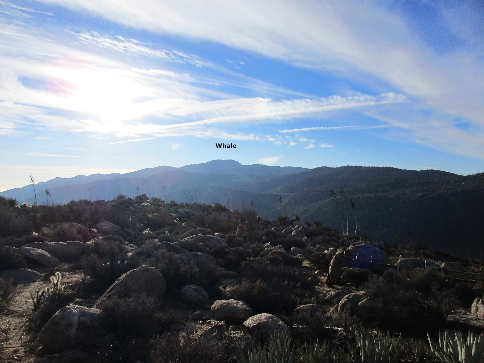
 Looking back at Whale
  Granite Mountain dominates the east, Ghost Mountain lower left
We followed the spur road toward Whale, finding a use trail at the very end of the road heading up the gully. The gully was the most fun part of the hike for me with easy class 2 boulders in multiple jumbles. At the top of the gully, the trail continued across a plateau, up a short ridge, across another plateau, up another short ridge, another plateau, then a final ascent to the summit area. The entire route was well marked with cairns. There was a little more class 2 on the final ascent, but nothing tricky. We passed what looked like a couple of camp sites on the long, flat summit. The red register cans were below the summit boulder inside a wind shelter and the Whale Peak sign was just outside. The summit boulder was only the third highest. It had an unnamed triangulation benchmark. The boulder next to it was higher with reference mark #1 stamped Whale. Reference mark #2 was on a lower rock by the sign. The highest boulder, oddly, had no marks. We signed the Whale register, at least as popular as Pinyon, then took a short break. The views were good, but we had to wander to the edges of the summit for the best views. Half way back, I commented that some people had managed to lose their way on Whale, but had probably ascended the more difficult south side. Naturally, a few minutes later, we found ourselves too far down a wash between ridges, backtracking and looking for where we lost our trail. The diversion was minimal, costing us probably 10 minutes until we were back on track. The rest of the descent was uneventful, other than a notable lack of wild life. We got back to the car ahead of schedule. This made us consider looking for another hike we could squeeze into the day before starting the long drive back to the OC. After a little mobile peakbagger.com recon, we decided to head for Sentenac Mountain.
 Gully of fun
 Jumbles
 A short ridge
 The next short ridge from an intermediate plateau
 Final scramble to the Whale summit area
 Brad and I at the sign
 Highest boulder on Whale
|
|
|
| Reference mark #1 and benchmark |
 Looking toward the Santa Rosas and San Jacinto
 Blair Valley, Sawtooth and Laguna Mountains in the distance