Distance: 8.1 miles round trip on road and use trail
Summit Elevation: 3664' (Lawson), 3836' (Gaskill)
Prominence: 420' (Lawson), 1196' (Gaskill)
Elevation Gain: 2575'
Elevation Gain (in Empire State Buildings): 2.06
Round trip time: 4 hours 30 minutes
Recommended water: 96 oz.
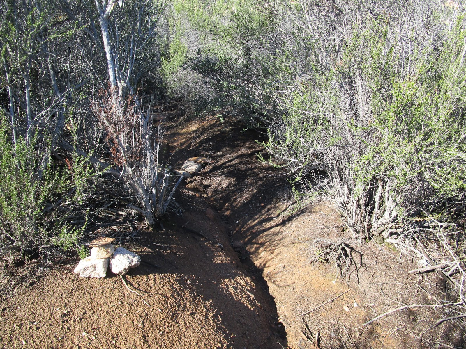
Parking/Fees: Free on Japatal Lyons Valley Road
Difficulty: Moderate
Lawson (SDC #56) and Gaskill (SDC #54) had been on my radar a long time. These San Diego peaks have exciting summit blocks and interesting scrambling routes. Since they are in close proximity, they are usually hiked together. To get to the trailhead, take highway 94 east from San Diego, then left on Lyons Valley Road, continue until it turns into Japatal Lyons Valley Road and park at the intersection with (unsigned) Skye Valley Road at mile marker 130. There is room for about 4 cars on the shoulder on the south side of the road. Hike north past a gate up Carveacre Road (Forest Road 16S03).
I got started at sunrise with the temp a nippy 32F. The road was damp and a little muddy in places from rain the day before. Gaskill was the first to come into view, followed by the impressive structure of Lawson. The road climbed then dipped down to the base of Lawson. The use trail was obvious and directly ahead from the road. It went straight up Lawson at first with plenty of class 2/3, then started to work to the right of the summit block. I followed the use trail behind the summit and found an exposed class 3/4 route up (direct route). The 2002 edition of the Jerry Schad book on San Diego County suggests going up a chimney to reach a cave on the way to the summit. I found the chimney a short distance past the direct route. However, some key chock stones in the chimney had fallen making it a difficult, probably class 4 problem. Someone anchored a climbing rope above the second chock stone and the end hung just below it. I tested the rope and it seemed OK. Before deciding how to proceed, I continued past the Schad route, but didn't find another way up. I didn't go completely around the summit, so there might be other options. I went back and looked at the direct route, then decided to try the Schad route because I wanted to see the cave. There were holds to get over the first chock stone, but I had to pull myself up with the rope to get over the second. Without the rope, I would have used the direct route. The rope itself looked to be in pretty good shape, but I'm not sure about the anchor. I am no rope expert, but urge caution using this rope in the future, especially after a few more years of weathering (if it is not removed before then). At the end of the cave, an opening on the left leads to a final class 3 slab to the summit area. I found two reference marks and the benchmark. Reference mark #2 appears to be the high point, about 5' above the benchmark. I did not find a register. I took photos and a short break before descending the way I came up, using an arm rappel to get down. Next up was Gaskill.

Trailhead at Forest Road 16S03

Lawson on the left, Gaskill on the right

Getting closer to Lawson Peak

Early boulder scramble on use trail

Direct, exposed route to the summit

Jerry Schad route up to a cave, very hard without the rope

The cave on the Schad route

Final class 3 scramble to the summit

Lawson benchmark, placed 1938

On the Lawson summit

Gaskill from the Lawson summit
Gaskill Peak is not far from Lawson. I found a large cairn on the side of the road marking the south use trail. From satellite recon, the south use trail looked a little vague to me. I chose to go further up the road to the east use trail instead since it was more clearly visible and probably more recently groomed. The last left turn to find the east use trail is marked with a small cairn a few stones high. The trail slices a narrow path through the vegetation, then begins a steep ascent. There are a couple of short dead end branches, so if you get into the brush, you probably got off track. Some scrambling is required to get to the base of the summit, with several good route choices. I followed the use trail around the south side of the base and found a large enclosed area, similar but wider than the cave on Lawson. That led to a final class 3 move to get on top. I didn't see any benchmarks on Gaskill, and the ammo box on the summit was filled with a geocache register and goodies like shaving cream and a razor. The quiet was punctuated by a long series of gunshots in the valley to the north, probably from a gun range. The views were excellent, though the summit is not as impressive as Lawson. On the way back, I spotted a group of hikers about half way up Lawson, the first people I had seen all day. These peaks lived up to their reputation as some of the most fun in San Diego County.
Narrow east use trail to Gaskill

Slab to get to the base of the Gaskill summit

Gaskill summit block

Entrance to the south side route

Lawson Peak and Lyons Peak distant right from Gaskill

Geocache ammo box


Hikers working toward the Lawson summit


These look fun! As I am moving to Murrieta next month I hope to hit some of those SD County peaks, which have bee evading me here in the LA Basin... looking forward to some new territory down there. the west face of Lyons Peak looks pretty neat..maybe one day?
ReplyDeleteJoseph,
DeleteI really like the SD area mountains, especially the Anza-Borrego desert. You will be in a great location for getting to the local peaks. Lyons looks very interesting but my SD County hiking book says there is no legal access to the peak.
I found this quote on another blog:
Access to the peak is currently limited to helicopter or law enforcement escort only due to a road access dispute with a private land owner.
And this:
"When I rolled up, the road was gated with a no-trespass sign. I parked at the Lyons Valley Trading Post and asked and the guy there said the landowner stops anyone who crosses his land at gunpoint, despite the fact the road is an easement. Unfortunately, what the law says and what an unreasonable man with a gun says are two different things. The guy at the store said he's even pulled his gun on tower workers, forest people and police."
Oh....I guess we are not doing that peak anytime soon...that's too bad. Yea, really looking forward to the new hiking springboard!
ReplyDeleteLawson looks kinda neat, although I don't know if I'm up for Class 4 moves. You've got better rock-hopping chops than me.
ReplyDeleteMadison,
DeleteWithout the rope, it looks pretty challenging, but doable. I'm sure you could make it up. It would be a long drive for you, but if you are passing through San Diego and looking for something, keep this one in mind.
Good site.
ReplyDeletethedevilcorp,
DeleteHope you find it useful.